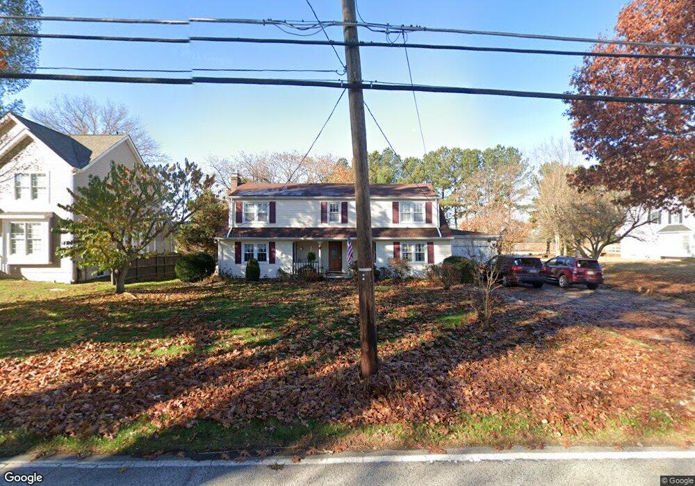
463 Red Lion Rd Southampton, NJ 08088
Estimated Value: $487,297 - $583,000
4
Beds
2
Baths
2,521
Sq Ft
$212/Sq Ft
Est. Value
About This Home
This home is located at 463 Red Lion Rd, Southampton, NJ 08088 and is currently estimated at $535,074, approximately $212 per square foot. 463 Red Lion Rd is a home located in Burlington County with nearby schools including Southampton Twp School No 1, Southampton Twp School No 2, and Southampton Twp School No 3.
Ownership History
Date
Name
Owned For
Owner Type
Purchase Details
Closed on
May 4, 2009
Sold by
Good Richard Scott and Good Janice
Bought by
Mulcahy Edward J and Mulcahy Rose M
Current Estimated Value
Home Financials for this Owner
Home Financials are based on the most recent Mortgage that was taken out on this home.
Original Mortgage
$150,000
Interest Rate
4.93%
Mortgage Type
New Conventional
Purchase Details
Closed on
Jan 2, 1996
Sold by
Good Richard and Good Ethel J
Bought by
Good Richard Scott
Create a Home Valuation Report for This Property
The Home Valuation Report is an in-depth analysis detailing your home's value as well as a comparison with similar homes in the area
Home Values in the Area
Average Home Value in this Area
Purchase History
| Date | Buyer | Sale Price | Title Company |
|---|---|---|---|
| Mulcahy Edward J | $283,000 | Surety Title Corp | |
| Good Richard Scott | -- | -- |
Source: Public Records
Mortgage History
| Date | Status | Borrower | Loan Amount |
|---|---|---|---|
| Previous Owner | Mulcahy Edward J | $150,000 |
Source: Public Records
Tax History Compared to Growth
Tax History
| Year | Tax Paid | Tax Assessment Tax Assessment Total Assessment is a certain percentage of the fair market value that is determined by local assessors to be the total taxable value of land and additions on the property. | Land | Improvement |
|---|---|---|---|---|
| 2025 | $7,990 | $242,200 | $53,900 | $188,300 |
| 2024 | $7,695 | $242,200 | $53,900 | $188,300 |
| 2023 | $7,695 | $242,200 | $53,900 | $188,300 |
| 2022 | $7,011 | $242,200 | $53,900 | $188,300 |
| 2021 | $6,488 | $242,200 | $53,900 | $188,300 |
| 2020 | $7,101 | $242,200 | $53,900 | $188,300 |
| 2019 | $6,949 | $242,200 | $53,900 | $188,300 |
| 2018 | $6,786 | $242,200 | $53,900 | $188,300 |
| 2017 | $6,561 | $242,200 | $53,900 | $188,300 |
| 2016 | $6,415 | $242,200 | $53,900 | $188,300 |
| 2015 | $6,205 | $242,200 | $53,900 | $188,300 |
| 2014 | $5,977 | $242,200 | $53,900 | $188,300 |
Source: Public Records
Map
Nearby Homes
- 8 -10 Church
- 209 Village Ln
- 111 Newbolds Corner Rd
- 103 Fox Chase Ct
- 309 Eayrestown Rd
- 155 Ridge Rd
- 204 New Freedom Rd
- 204 Ridge Rd
- 214 Buddtown Rd
- 407 Willow Ln
- 0 Beaver Dam Rd & Red Lion Rd Rd
- 69 Eayrestown Rd
- 0 Ongs Hat Rd Unit NJBL2021664
- 403 Chairville Rd
- 3 Sherry Ann Dr
- 75 Eayrestown Rd
- 5 Thames Ct
- 517 Ridge Rd
- 8 Banbury Rd
- 875 Westminster Dr N