463 River Rd Westport, MA 02790
Acoaxet NeighborhoodEstimated Value: $1,892,122 - $2,598,000
3
Beds
--
Bath
4,047
Sq Ft
$534/Sq Ft
Est. Value
About This Home
This home is located at 463 River Rd, Westport, MA 02790 and is currently estimated at $2,161,707, approximately $534 per square foot. 463 River Rd is a home located in Bristol County with nearby schools including Alice A. Macomber Primary School, Westport Elementary School, and Westport Middle-High School.
Ownership History
Date
Name
Owned For
Owner Type
Purchase Details
Closed on
Oct 20, 2025
Sold by
Atwood Mark C and Atwood Julia S
Bought by
Atwood
Current Estimated Value
Purchase Details
Closed on
Dec 28, 2022
Sold by
Family T and Atwood
Bought by
Atwood Julia N
Purchase Details
Closed on
Jun 19, 2009
Sold by
Sullivan Tr Ann M
Bought by
Atwood Julia N and Sullvian John P
Purchase Details
Closed on
Jan 30, 1990
Sold by
Talbot J Dennis
Bought by
Sullivan Paul B
Create a Home Valuation Report for This Property
The Home Valuation Report is an in-depth analysis detailing your home's value as well as a comparison with similar homes in the area
Home Values in the Area
Average Home Value in this Area
Purchase History
| Date | Buyer | Sale Price | Title Company |
|---|---|---|---|
| Atwood | -- | -- | |
| Atwood Julia N | $600,000 | None Available | |
| Atwood Julia N | -- | -- | |
| Sullivan Paul B | $550,000 | -- |
Source: Public Records
Mortgage History
| Date | Status | Borrower | Loan Amount |
|---|---|---|---|
| Previous Owner | Sullivan Paul B | $94,000 | |
| Previous Owner | Sullivan Paul B | $114,000 | |
| Previous Owner | Sullivan Paul B | $60,000 | |
| Previous Owner | Sullivan Paul B | $60,000 |
Source: Public Records
Tax History
| Year | Tax Paid | Tax Assessment Tax Assessment Total Assessment is a certain percentage of the fair market value that is determined by local assessors to be the total taxable value of land and additions on the property. | Land | Improvement |
|---|---|---|---|---|
| 2025 | $9,833 | $1,319,900 | $609,800 | $710,100 |
| 2024 | $9,468 | $1,224,900 | $529,000 | $695,900 |
| 2023 | $9,506 | $1,164,900 | $506,700 | $658,200 |
| 2022 | $8,533 | $1,006,200 | $506,700 | $499,500 |
| 2021 | $7,829 | $908,200 | $408,700 | $499,500 |
| 2020 | $7,536 | $894,000 | $394,500 | $499,500 |
| 2019 | $7,221 | $873,100 | $359,900 | $513,200 |
| 2018 | $7,132 | $872,900 | $344,000 | $528,900 |
| 2017 | $6,975 | $875,200 | $344,000 | $531,200 |
| 2016 | $6,972 | $881,400 | $350,200 | $531,200 |
| 2015 | $6,726 | $848,200 | $350,200 | $498,000 |
Source: Public Records
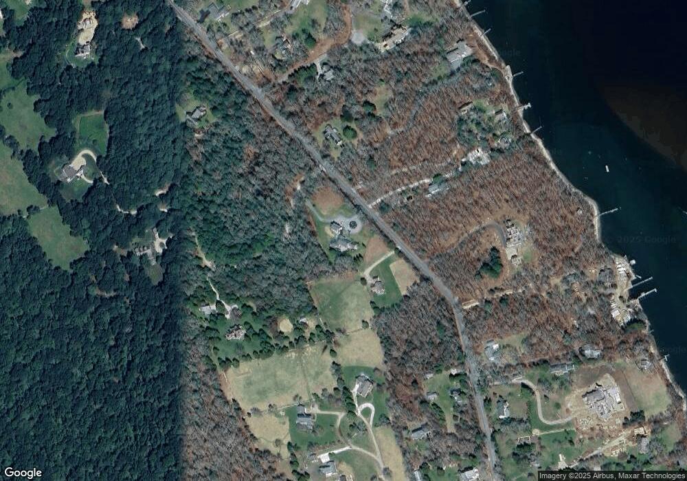
Map
Nearby Homes
- 255 John Dyer Rd
- 245 John Dyer Rd
- 2 Olin Howland Way
- 25 Quail Trail
- 17 Quail Trail
- 1371 Drift Rd
- 505 Long Hwy
- 116 Amy Hart Path
- 140 Long Hwy
- 140I Long Hwy
- 101 Adamsville Rd
- 128 Maple Ave
- 89 S Shore Rd
- 90 Two Rod Rd
- 18 Old Barn Rd
- 184 Field Stone Ln
- 0 Willow Ave
- 920 Drift Rd
- 49 Ocean Dr
- 164 Stoney Hollow Rd
Your Personal Tour Guide
Ask me questions while you tour the home.