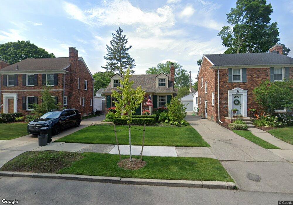
463 Touraine Rd Grosse Pointe Farms, MI 48236
Estimated Value: $211,000 - $324,000
--
Bed
1
Bath
915
Sq Ft
$297/Sq Ft
Est. Value
About This Home
This home is located at 463 Touraine Rd, Grosse Pointe Farms, MI 48236 and is currently estimated at $271,386, approximately $296 per square foot. 463 Touraine Rd is a home located in Wayne County with nearby schools including Kerby Elementary School, Brownell Middle School, and Grosse Pointe South High School.
Ownership History
Date
Name
Owned For
Owner Type
Purchase Details
Closed on
Aug 19, 1998
Sold by
Taylor Colleen M
Bought by
Wojan Rebecca
Current Estimated Value
Purchase Details
Closed on
Jun 29, 1994
Sold by
Backman Michael
Bought by
Michael Backman
Home Financials for this Owner
Home Financials are based on the most recent Mortgage that was taken out on this home.
Original Mortgage
$92,400
Interest Rate
7.62%
Mortgage Type
New Conventional
Create a Home Valuation Report for This Property
The Home Valuation Report is an in-depth analysis detailing your home's value as well as a comparison with similar homes in the area
Home Values in the Area
Average Home Value in this Area
Purchase History
| Date | Buyer | Sale Price | Title Company |
|---|---|---|---|
| Wojan Rebecca | $155,500 | -- | |
| Michael Backman | $115,500 | -- |
Source: Public Records
Mortgage History
| Date | Status | Borrower | Loan Amount |
|---|---|---|---|
| Previous Owner | Michael Backman | $92,400 |
Source: Public Records
Tax History Compared to Growth
Tax History
| Year | Tax Paid | Tax Assessment Tax Assessment Total Assessment is a certain percentage of the fair market value that is determined by local assessors to be the total taxable value of land and additions on the property. | Land | Improvement |
|---|---|---|---|---|
| 2025 | $1,697 | $121,700 | $0 | $0 |
| 2024 | $1,697 | $111,900 | $0 | $0 |
| 2023 | $1,554 | $102,500 | $0 | $0 |
| 2022 | $1,554 | $94,300 | $0 | $0 |
| 2021 | $2,852 | $86,900 | $0 | $0 |
| 2019 | $2,805 | $79,100 | $0 | $0 |
| 2018 | $1,435 | $75,400 | $0 | $0 |
| 2017 | $2,491 | $73,400 | $0 | $0 |
| 2016 | $2,611 | $72,100 | $0 | $0 |
| 2015 | $5,172 | $57,000 | $0 | $0 |
| 2013 | $5,010 | $50,100 | $0 | $0 |
| 2012 | $1,331 | $50,100 | $20,400 | $29,700 |
Source: Public Records
Map
Nearby Homes
- 471 Touraine Rd
- 432 Calvin Ave
- 441 Manor St
- 5047 Anatole St
- 351 Moselle Place
- 415 Lothrop Rd
- 5056 Lafontaine St
- 265 Williams Ave
- 18119 Cornwall St
- 4607 Radnor St
- 975 Fisher Rd
- 380 Merriweather Rd
- 343 Mount Vernon Ave
- 4598 Lodewyck St
- 5210 Farmbrook St
- 419 Maison Rd
- 314 Mount Vernon Ave
- 5522 Ashley St
- 317 Mount Vernon Ave
- 5228 Hillcrest St
- 467 Touraine Rd
- 461 Touraine Rd
- 469 Touraine Rd
- 459 Touraine Rd Unit Bldg-Unit
- 459 Touraine Rd
- 468 Cloverly Rd
- 464 Cloverly Rd
- 470 Cloverly Rd
- 455 Touraine Rd
- 462 Cloverly Rd
- 472 Cloverly Rd
- 458 Cloverly Rd
- 464 Touraine Rd
- 466 Touraine Rd
- 475 Touraine Rd
- 453 Touraine Rd
- 460 Touraine Rd
- 468 Touraine Rd
- 476 Cloverly Rd
- 458 Touraine Rd