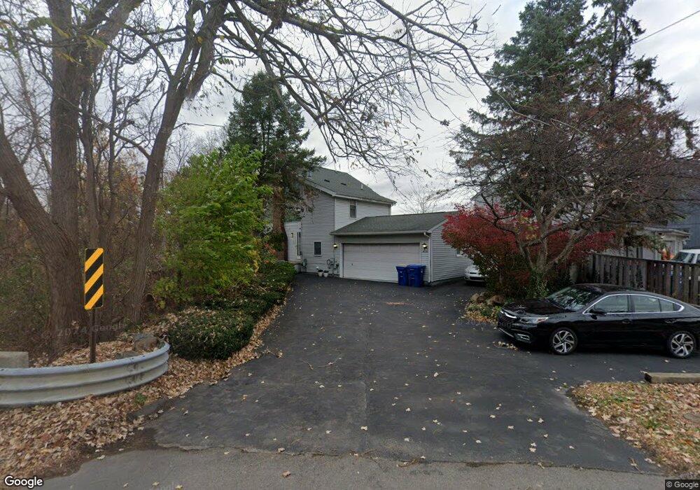
4630 Cass Elizabeth Rd Waterford, MI 48328
Waterford Township NeighborhoodEstimated Value: $362,000 - $557,000
3
Beds
2
Baths
1,290
Sq Ft
$373/Sq Ft
Est. Value
About This Home
This home is located at 4630 Cass Elizabeth Rd, Waterford, MI 48328 and is currently estimated at $481,500, approximately $373 per square foot. 4630 Cass Elizabeth Rd is a home located in Oakland County with nearby schools including Haviland Elementary School, Pierce Middle School, and Waterford Mott High School.
Ownership History
Date
Name
Owned For
Owner Type
Purchase Details
Closed on
Sep 26, 2001
Sold by
Dunning Mark S
Bought by
Mark S Dunning Tr
Current Estimated Value
Purchase Details
Closed on
Sep 25, 1998
Sold by
Bonnivier Bruce E
Bought by
Dunning Mark S
Home Financials for this Owner
Home Financials are based on the most recent Mortgage that was taken out on this home.
Original Mortgage
$199,200
Interest Rate
6.9%
Create a Home Valuation Report for This Property
The Home Valuation Report is an in-depth analysis detailing your home's value as well as a comparison with similar homes in the area
Home Values in the Area
Average Home Value in this Area
Purchase History
| Date | Buyer | Sale Price | Title Company |
|---|---|---|---|
| Mark S Dunning Tr | -- | -- | |
| Dunning Mark S | $249,000 | -- |
Source: Public Records
Mortgage History
| Date | Status | Borrower | Loan Amount |
|---|---|---|---|
| Previous Owner | Dunning Mark S | $199,200 |
Source: Public Records
Tax History Compared to Growth
Tax History
| Year | Tax Paid | Tax Assessment Tax Assessment Total Assessment is a certain percentage of the fair market value that is determined by local assessors to be the total taxable value of land and additions on the property. | Land | Improvement |
|---|---|---|---|---|
| 2024 | $2,790 | $199,910 | $0 | $0 |
| 2023 | $2,661 | $187,590 | $0 | $0 |
| 2022 | $4,284 | $179,590 | $0 | $0 |
| 2021 | $4,051 | $165,430 | $0 | $0 |
| 2020 | $2,436 | $152,110 | $0 | $0 |
| 2019 | $3,957 | $149,210 | $0 | $0 |
| 2018 | $3,926 | $158,940 | $0 | $0 |
| 2017 | $3,990 | $158,940 | $0 | $0 |
| 2016 | $3,982 | $153,210 | $0 | $0 |
| 2015 | -- | $145,800 | $0 | $0 |
| 2014 | -- | $118,090 | $0 | $0 |
| 2011 | -- | $111,430 | $0 | $0 |
Source: Public Records
Map
Nearby Homes
- 4616 Cass Elizabeth Rd
- 1036 Pelham Blvd
- 4390 Cass Elizabeth Rd
- 4910 Chipman Dr
- 1029 Monica Place
- 1062 Forest Bay Dr
- 1079 Forest Bay Dr
- 4275 Forest Valley Ct
- 549 Grixdale Ln
- 4080 Cass Elizabeth Rd
- 4405 Motorway Dr
- 4433 Motorway Dr
- 1522 Oregon Ct
- 577 Lakeside Dr
- 5171 Durnham Dr
- 4227 Lanette Dr
- 00000 Muskingum
- 941 Shoshone Cir
- 4199 Motorway Dr
- 3964 Oak Knoll Rd
- 4624 Cass Elizabeth Rd
- 4640 Sherbourne Ave
- 4610 Cass Elizabeth Rd Unit Bldg-Unit
- 4610 Cass Elizabeth Rd
- 4647 Cass Elizabeth Rd
- 4650 Sherbourne Ave
- 1004 Pelham Blvd
- 4651 Cass Elizabeth Rd
- 4655 Cass Elizabeth Rd
- 4655 Sherbourne Ave
- 1005 Lalond Ave
- 4660 Sherbourne Ave
- 4661 Cass Elizabeth Rd
- 4666 Cass Elizabeth Rd
- 1016 Lalond Ave
- 1010 Pelham Blvd
- 4665 Cass Elizabeth Rd
- 4574 Cass Elizabeth Rd
- 1018 Lalond Ave
- 4674 Sherbourne Ave