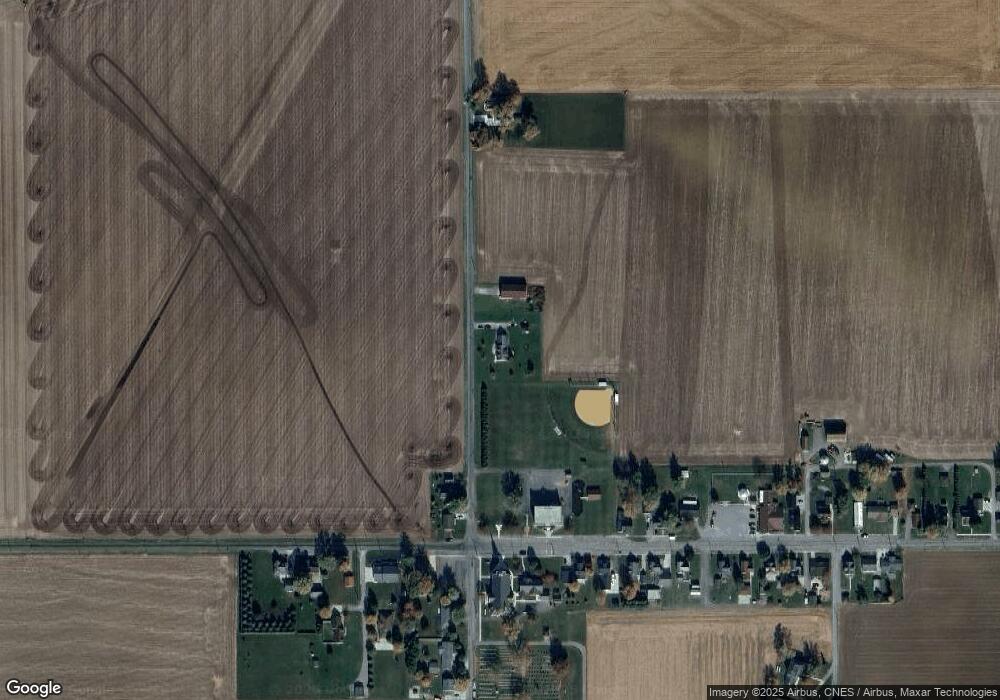
4630 Kill Rd Delphos, OH 45833
Estimated Value: $231,000 - $358,000
3
Beds
2
Baths
2,277
Sq Ft
$131/Sq Ft
Est. Value
About This Home
This home is located at 4630 Kill Rd, Delphos, OH 45833 and is currently estimated at $297,449, approximately $130 per square foot. 4630 Kill Rd is a home located in Allen County.
Ownership History
Date
Name
Owned For
Owner Type
Purchase Details
Closed on
Jan 7, 2016
Sold by
Miller Joseph E and Miller Donna R
Bought by
Miller Nathanael D
Current Estimated Value
Home Financials for this Owner
Home Financials are based on the most recent Mortgage that was taken out on this home.
Original Mortgage
$129,048
Outstanding Balance
$102,534
Interest Rate
3.93%
Mortgage Type
New Conventional
Estimated Equity
$194,915
Purchase Details
Closed on
Jan 23, 1990
Bought by
Miller Joseph E
Create a Home Valuation Report for This Property
The Home Valuation Report is an in-depth analysis detailing your home's value as well as a comparison with similar homes in the area
Purchase History
| Date | Buyer | Sale Price | Title Company |
|---|---|---|---|
| Miller Nathanael D | $120,000 | None Available | |
| Miller Joseph E | -- | -- |
Source: Public Records
Mortgage History
| Date | Status | Borrower | Loan Amount |
|---|---|---|---|
| Open | Miller Nathanael D | $129,048 |
Source: Public Records
Tax History Compared to Growth
Tax History
| Year | Tax Paid | Tax Assessment Tax Assessment Total Assessment is a certain percentage of the fair market value that is determined by local assessors to be the total taxable value of land and additions on the property. | Land | Improvement |
|---|---|---|---|---|
| 2024 | $2,944 | $96,150 | $12,040 | $84,110 |
| 2023 | $2,442 | $74,560 | $9,350 | $65,210 |
| 2022 | $2,494 | $74,560 | $9,350 | $65,210 |
| 2021 | $2,535 | $74,560 | $9,350 | $65,210 |
| 2020 | $1,971 | $61,470 | $8,510 | $52,960 |
| 2019 | $1,971 | $61,470 | $8,510 | $52,960 |
| 2018 | $1,906 | $61,470 | $8,510 | $52,960 |
| 2017 | $1,834 | $56,640 | $8,510 | $48,130 |
| 2016 | $1,831 | $56,640 | $8,510 | $48,130 |
| 2015 | $1,883 | $56,640 | $8,510 | $48,130 |
| 2014 | $1,883 | $57,580 | $7,840 | $49,740 |
| 2013 | $1,896 | $57,580 | $7,840 | $49,740 |
Source: Public Records
Map
Nearby Homes
- 1400 S Clay St Unit 17
- 420 S Cass St
- 21302 Masters Rd
- 424 S Canal St
- 483 S Franklin St
- 709 W 4th St
- 221 S Main St
- 409 N Bredeick St
- 19059 Wittington St
- 15044 Main St
- 18906 Bebb St
- 332 W 6th St
- 633 N Clay St
- 405 N Franklin St
- 629 N Main St
- 610 N Washington St
- 810 N Franklin St
- 7110 Elida Rd
- 14101 Allentown Rd
- 112 W Railroad St
- 4525 Kill Rd
- 4525 N Kill Rd
- 4511 Kill Rd
- 14708 Landeck Rd
- 14716 Landeck Rd
- 4740 Kill Rd
- 14686 Landeck Rd
- 14755 Landeck Rd
- 14737 Landeck Rd
- 14825 Landeck Rd
- 14670 Landeck Rd
- 4750 Kill Rd
- 14725 Landeck Rd
- 14715 Landeck Rd
- 14689 Landeck Rd
- 4477 Kill Rd
- 14849 Landeck Rd
- 14675 Landeck Rd
- 14887 Landeck Rd
