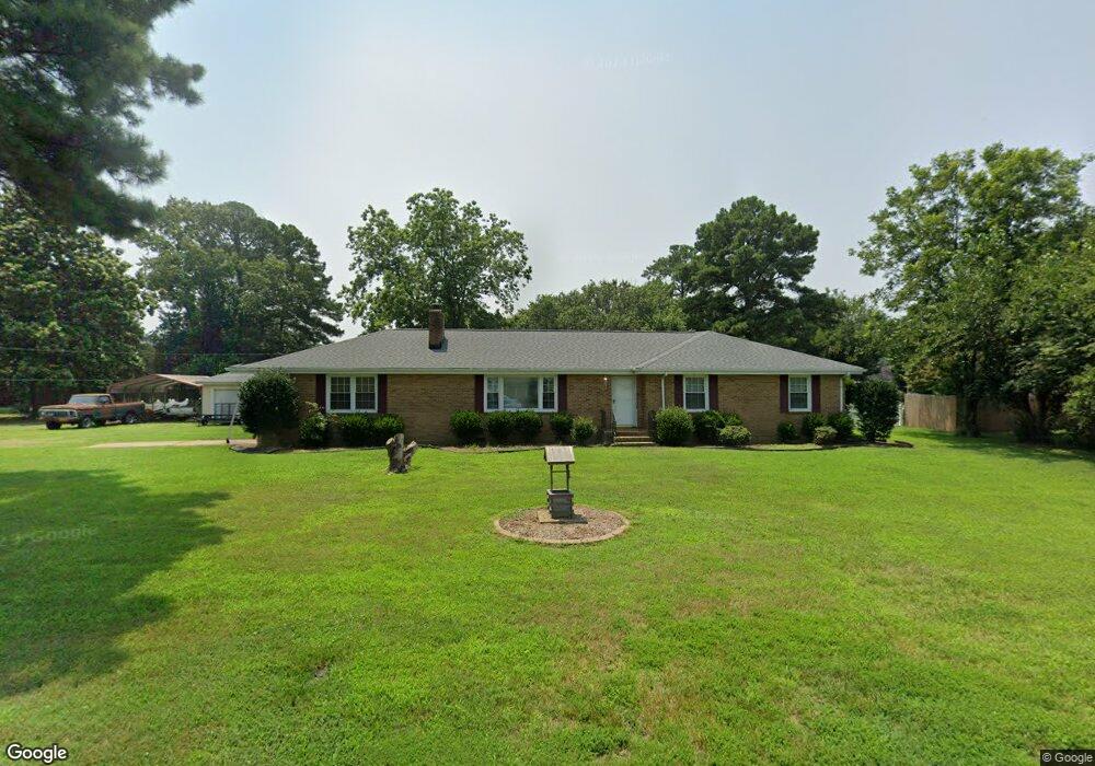
4630 River Shore Rd Portsmouth, VA 23703
Churchland NeighborhoodEstimated Value: $338,280 - $395,000
3
Beds
2
Baths
1,886
Sq Ft
$198/Sq Ft
Est. Value
About This Home
This home is located at 4630 River Shore Rd, Portsmouth, VA 23703 and is currently estimated at $373,570, approximately $198 per square foot. 4630 River Shore Rd is a home located in Portsmouth City with nearby schools including Churchland Primary/Intermediate School, Churchland Middle School, and Churchland High School.
Ownership History
Date
Name
Owned For
Owner Type
Purchase Details
Closed on
Jan 14, 2003
Sold by
Stokes Ernest
Bought by
Miller Timothy
Current Estimated Value
Home Financials for this Owner
Home Financials are based on the most recent Mortgage that was taken out on this home.
Original Mortgage
$125,600
Outstanding Balance
$53,757
Interest Rate
6.19%
Mortgage Type
New Conventional
Estimated Equity
$319,813
Create a Home Valuation Report for This Property
The Home Valuation Report is an in-depth analysis detailing your home's value as well as a comparison with similar homes in the area
Home Values in the Area
Average Home Value in this Area
Purchase History
| Date | Buyer | Sale Price | Title Company |
|---|---|---|---|
| Miller Timothy | $157,000 | -- |
Source: Public Records
Mortgage History
| Date | Status | Borrower | Loan Amount |
|---|---|---|---|
| Open | Miller Timothy | $125,600 |
Source: Public Records
Tax History Compared to Growth
Tax History
| Year | Tax Paid | Tax Assessment Tax Assessment Total Assessment is a certain percentage of the fair market value that is determined by local assessors to be the total taxable value of land and additions on the property. | Land | Improvement |
|---|---|---|---|---|
| 2025 | $4,133 | $329,530 | $122,190 | $207,340 |
| 2024 | $4,133 | $321,010 | $122,190 | $198,820 |
| 2023 | $4,019 | $307,810 | $122,190 | $185,620 |
| 2022 | $3,944 | $303,420 | $106,250 | $197,170 |
| 2021 | $3,567 | $274,380 | $87,110 | $187,270 |
| 2020 | $3,513 | $270,230 | $82,960 | $187,270 |
| 2019 | $3,470 | $266,930 | $82,960 | $183,970 |
| 2018 | $3,384 | $260,330 | $82,960 | $177,370 |
| 2017 | $3,384 | $260,330 | $82,960 | $177,370 |
| 2016 | $3,384 | $260,330 | $82,960 | $177,370 |
| 2015 | $3,384 | $260,330 | $82,960 | $177,370 |
| 2014 | $3,306 | $260,330 | $82,960 | $177,370 |
Source: Public Records
Map
Nearby Homes
- 4619 River Shore Rd
- 4444 Southampton Arch
- 4726 River Shore Rd
- 21 Windy Pines Crescent
- 5833 Hawthorne Ln
- 5728 Hawthorne Ln
- 5693 Rivermill Cir
- 4224 Burnham Dr
- 4232 Summerset Dr
- 6750 Burbage Landing Cir
- 5606 Gregory Ct
- 8 Compass Ct
- 6602 James Point Ct
- 4200 Quince Rd
- 4071 Long Point Blvd
- 5028 Bay Cir
- 17 Shoal Ct
- 4100 Mayfair Way
- 6832 Ivanhoe Ct
- 4028 Swannanoa Dr
- 4634 River Shore Rd
- 4624 River Shore Rd
- 4621 Southampton Arch
- 4623 Southampton Arch
- 4619 Southampton Arch
- 4631 River Shore Rd
- 4625 Southampton Arch
- 4638 River Shore Rd
- 4627 River Shore Rd
- 4622 River Shore Rd
- 4635 River Shore Rd
- 4617 Southampton Arch
- 4627 Southampton Arch
- 4620 Southampton Arch
- 4622 Southampton Arch
- 4639 River Shore Rd
- 4509 Raintree Ln
- 4640 River Shore Rd
- 4615 Southampton Arch
- 4624 Southampton Arch