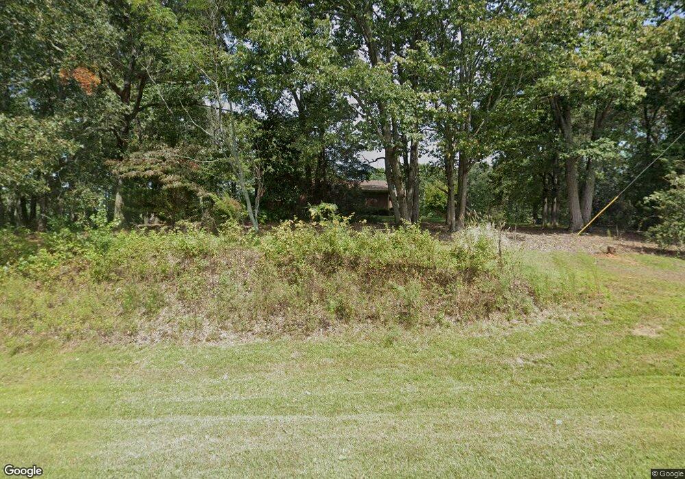
4630 Westmoreland Rd Cleveland, GA 30528
Estimated Value: $328,000 - $352,353
3
Beds
2
Baths
1,636
Sq Ft
$207/Sq Ft
Est. Value
About This Home
This home is located at 4630 Westmoreland Rd, Cleveland, GA 30528 and is currently estimated at $339,088, approximately $207 per square foot. 4630 Westmoreland Rd is a home located in White County with nearby schools including Tesnatee Gap Elementary (Old White County Intermediate), White County 9th Grade Academy, and Jack P. Nix Elementary School.
Ownership History
Date
Name
Owned For
Owner Type
Purchase Details
Closed on
Apr 4, 2014
Sold by
Smith Dorothy Lee
Bought by
Smith Anthony and Smith Diane
Current Estimated Value
Home Financials for this Owner
Home Financials are based on the most recent Mortgage that was taken out on this home.
Original Mortgage
$117,826
Outstanding Balance
$87,265
Interest Rate
3.75%
Mortgage Type
FHA
Estimated Equity
$251,823
Create a Home Valuation Report for This Property
The Home Valuation Report is an in-depth analysis detailing your home's value as well as a comparison with similar homes in the area
Home Values in the Area
Average Home Value in this Area
Purchase History
| Date | Buyer | Sale Price | Title Company |
|---|---|---|---|
| Smith Anthony | $120,000 | -- |
Source: Public Records
Mortgage History
| Date | Status | Borrower | Loan Amount |
|---|---|---|---|
| Open | Smith Anthony | $117,826 |
Source: Public Records
Tax History Compared to Growth
Tax History
| Year | Tax Paid | Tax Assessment Tax Assessment Total Assessment is a certain percentage of the fair market value that is determined by local assessors to be the total taxable value of land and additions on the property. | Land | Improvement |
|---|---|---|---|---|
| 2025 | $1,644 | $102,272 | $25,980 | $76,292 |
| 2024 | $1,644 | $102,272 | $25,980 | $76,292 |
| 2023 | $1,246 | $90,836 | $23,092 | $67,744 |
| 2022 | $1,587 | $79,572 | $20,208 | $59,364 |
| 2021 | $1,575 | $65,848 | $17,492 | $48,356 |
| 2020 | $1,592 | $61,640 | $16,240 | $45,400 |
| 2019 | $1,434 | $53,640 | $16,240 | $37,400 |
| 2018 | $1,434 | $53,640 | $16,240 | $37,400 |
| 2017 | $1,401 | $52,088 | $16,240 | $35,848 |
| 2016 | $1,401 | $52,088 | $16,240 | $35,848 |
| 2015 | $1,228 | $120,000 | $14,964 | $33,036 |
| 2014 | $921 | $116,850 | $0 | $0 |
Source: Public Records
Map
Nearby Homes
- 59 Rocket Dr
- 4872 Highway 115 W
- LOT 28 Long Mountain Rd
- 0 Westmoreland Rd Unit 10596625
- 705 & Long Mountain Rd
- 705 Long Mountain Rd
- 705 & 0 Long Mountain Rd
- 489 Asbury Mill Rd
- 00 Partin Rd
- 28 Bear Lovers Ct
- 16 Bear Lovers Ct
- 279 Leisure Acres Dr
- 283 Leisure Acres Dr
- 0 Partin Rd Unit LOT 1 10539978
- 0 Long Mountain Rd Unit 10607992
- 333 Song Bird Dr
- 254 Jeb Dr
- 6926 Whelchel Cir
- 5282 Highway 129 S
- 57 Autumnwood Way
- 185 Smith Rd
- 95 Smoke Ridge Way
- 4958 Westmoreland Rd
- 4824 Westmoreland Rd
- 5060 Westmoreland Rd
- 96 Bonnie Dr
- 5177 Westmoreland Rd
- 49 Arthur Seabolt Rd
- 702 Smith Rd
- 764 Smith Rd
- 443 Kanady Rd
- 497 Kanady Rd
- 5448 Westmoreland Rd
- 218 Arthur Seabolt Rd
- 856 Smith Rd
- 284 Arthur Seabolt Rd
- 147 Arthur Seabolt Rd
- 858 Smith Rd
- 899 Kanady Rd
- 899 Kanady Rd
