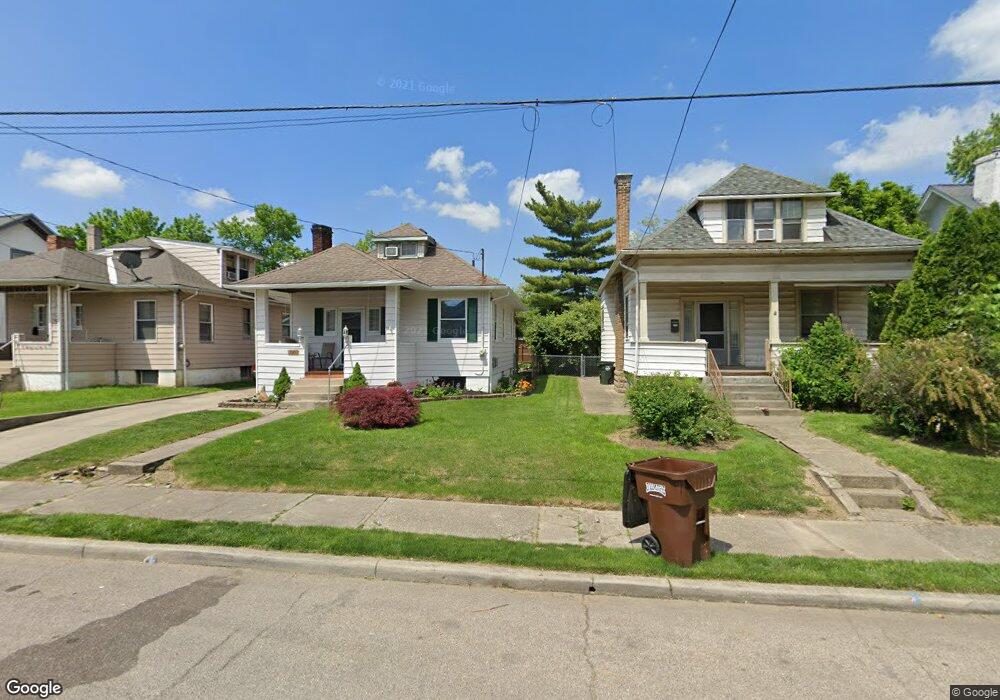
4631 Baker St Cincinnati, OH 45212
Estimated Value: $111,162
--
Bed
--
Bath
5,057
Sq Ft
$22/Sq Ft
Est. Value
About This Home
This home is located at 4631 Baker St, Cincinnati, OH 45212 and is currently estimated at $111,162, approximately $21 per square foot. 4631 Baker St is a home located in Hamilton County with nearby schools including Norwood High School, Cornerstone Christian Academy, and Xavier University Montessori Lab School.
Ownership History
Date
Name
Owned For
Owner Type
Purchase Details
Closed on
Sep 28, 2015
Sold by
St Bernard Community Improvement Corpora
Bought by
Hamilton County Land Reutilization Corpo
Current Estimated Value
Purchase Details
Closed on
Jun 24, 2015
Sold by
Ronald Walter Lauch Living Trust
Bought by
St Bernard Community Improvement Corpora
Purchase Details
Closed on
Feb 27, 2012
Sold by
Estate Of Ronald W Lauch
Bought by
Ronald Walter Lauch Living Trust
Create a Home Valuation Report for This Property
The Home Valuation Report is an in-depth analysis detailing your home's value as well as a comparison with similar homes in the area
Home Values in the Area
Average Home Value in this Area
Purchase History
| Date | Buyer | Sale Price | Title Company |
|---|---|---|---|
| Hamilton County Land Reutilization Corpo | -- | None Available | |
| St Bernard Community Improvement Corpora | $50,000 | Attorney | |
| Ronald Walter Lauch Living Trust | -- | Attorney |
Source: Public Records
Tax History Compared to Growth
Tax History
| Year | Tax Paid | Tax Assessment Tax Assessment Total Assessment is a certain percentage of the fair market value that is determined by local assessors to be the total taxable value of land and additions on the property. | Land | Improvement |
|---|---|---|---|---|
| 2024 | -- | $8,414 | $8,414 | -- |
| 2023 | $0 | $8,414 | $8,414 | $0 |
| 2022 | $0 | $7,693 | $7,693 | $0 |
| 2021 | $0 | $7,693 | $7,693 | $0 |
| 2020 | $0 | $7,693 | $7,693 | $0 |
| 2019 | $0 | $7,693 | $7,693 | $0 |
| 2018 | $0 | $7,693 | $7,693 | $0 |
| 2017 | $0 | $7,693 | $7,693 | $0 |
| 2016 | $347 | $36,068 | $7,886 | $28,182 |
| 2015 | $3,261 | $36,068 | $7,886 | $28,182 |
| 2014 | $3,228 | $36,068 | $7,886 | $28,182 |
| 2013 | $3,222 | $36,803 | $8,047 | $28,756 |
Source: Public Records
Map
Nearby Homes
- 4635 Baker St
- 3 Baker Cir
- 1701 Sherman Ave
- 4627 Mcneil Ave
- 4650 Mcneil Ave
- 1721 Cleveland Ave
- 1354 Avon Dr
- 1284 Paddock Hills Ave
- 1813 Ridgeway Ave
- 1308 Avon Dr
- 1817 Sherman Ave
- 1816 Cleveland Ave
- 1803 Courtland Ave
- 1810 Lincoln Ave
- 1821 Mills Ave
- 1835 Sherman Ave
- 1915 Maple Ave
- 4522 Perth Ln
- 4028 Ledgewood Dr
- 1841 Mills Ave