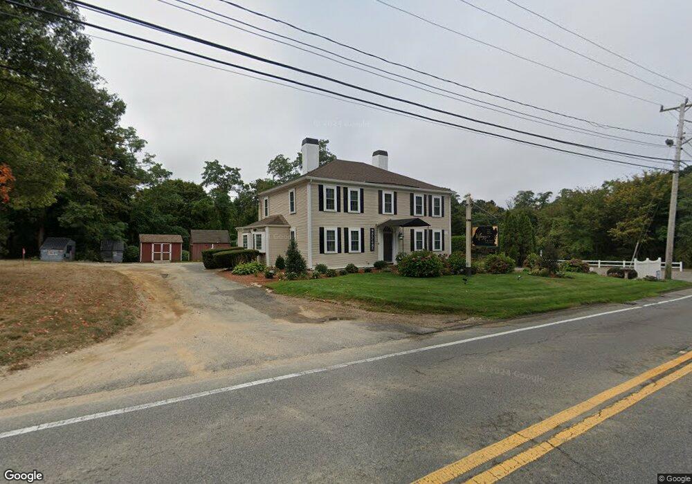
4631 Falmouth Rd Barnstable, MA 02635
Cotuit NeighborhoodEstimated Value: $1,498,847
--
Bed
5
Baths
4,443
Sq Ft
$337/Sq Ft
Est. Value
About This Home
This home is located at 4631 Falmouth Rd, Barnstable, MA 02635 and is currently estimated at $1,498,847, approximately $337 per square foot. 4631 Falmouth Rd is a home located in Barnstable County with nearby schools including West Villages Elementary School, Barnstable United Elementary School, and Barnstable Intermediate School.
Ownership History
Date
Name
Owned For
Owner Type
Purchase Details
Closed on
Nov 26, 2012
Sold by
Fizell Weldon and Community B & T
Bought by
P & P Cotuit Llc
Current Estimated Value
Purchase Details
Closed on
Nov 29, 2006
Sold by
Bryan Motor Inn Inc
Bought by
Regatta Rt and Fizell
Home Financials for this Owner
Home Financials are based on the most recent Mortgage that was taken out on this home.
Original Mortgage
$494,000
Interest Rate
6.15%
Mortgage Type
Commercial
Create a Home Valuation Report for This Property
The Home Valuation Report is an in-depth analysis detailing your home's value as well as a comparison with similar homes in the area
Home Values in the Area
Average Home Value in this Area
Purchase History
| Date | Buyer | Sale Price | Title Company |
|---|---|---|---|
| P & P Cotuit Llc | $350,000 | -- | |
| P & P Cotuit Llc | $350,000 | -- | |
| Regatta Rt | $1,000,000 | -- | |
| Regatta Rt | $1,000,000 | -- |
Source: Public Records
Mortgage History
| Date | Status | Borrower | Loan Amount |
|---|---|---|---|
| Open | Chef J Llc | $537,000 | |
| Closed | Chef J Llc | $520,000 | |
| Closed | Chef J Llc | $650,000 | |
| Closed | P & P Cotuit Llc | $528,700 | |
| Previous Owner | Regatta Rt | $494,000 | |
| Previous Owner | Regatta Rt | $600,000 | |
| Previous Owner | Regatta Rt | $480,000 |
Source: Public Records
Tax History Compared to Growth
Tax History
| Year | Tax Paid | Tax Assessment Tax Assessment Total Assessment is a certain percentage of the fair market value that is determined by local assessors to be the total taxable value of land and additions on the property. | Land | Improvement |
|---|---|---|---|---|
| 2025 | $9,487 | $1,263,200 | $251,300 | $1,011,900 |
| 2024 | $8,953 | $1,252,200 | $251,300 | $1,000,900 |
| 2023 | $8,387 | $1,085,000 | $251,300 | $833,700 |
| 2022 | $8,656 | $906,400 | $248,500 | $657,900 |
| 2021 | $9,056 | $887,800 | $248,500 | $639,300 |
| 2020 | $9,385 | $865,000 | $229,400 | $635,600 |
| 2019 | $9,547 | $868,700 | $229,400 | $639,300 |
| 2018 | $9,390 | $855,200 | $229,400 | $625,800 |
| 2017 | $9,197 | $843,800 | $229,400 | $614,400 |
| 2016 | $8,953 | $843,800 | $229,400 | $614,400 |
| 2015 | $7,390 | $695,900 | $134,600 | $561,300 |
Source: Public Records
Map
Nearby Homes
- 120 Main St
- 31 Main St
- 95 Anchor Ln
- 220 Dunrobin Rd
- 39 Forest Hills Rd
- 70 Cape Dr Unit 14D
- 70 Cape Dr Unit 12C
- 24 Hampton Ct
- 24 Hampton Ct Unit 24
- 3 Mayfair Ct Unit 3
- 3 Mayfair Ct
- 10 Mayfair Ct
- 54 Stratford Ridge Unit 54
- 54 Stratford Ridge
- 17 Hampton Ct
- 4 Village Green Cir
- 28 B Clayton Cir Unit B
- 101 Pheasant Hill Cir
- 30 Windsor Point
- 4 Bishops Park