4631 Rolland Rd Ontario, OR 97914
Estimated Value: $408,495
3
Beds
1
Bath
1,400
Sq Ft
$292/Sq Ft
Est. Value
About This Home
This home is located at 4631 Rolland Rd, Ontario, OR 97914 and is currently estimated at $408,495, approximately $291 per square foot. 4631 Rolland Rd is a home located in Malheur County with nearby schools including Ontario High School, River of Life Christian School, and Treasure Valley Seventh-Day Adventist School.
Ownership History
Date
Name
Owned For
Owner Type
Purchase Details
Closed on
Feb 17, 2008
Sold by
Murray Sherman L and Murray Michelle R
Bought by
Murray Sherman L
Current Estimated Value
Home Financials for this Owner
Home Financials are based on the most recent Mortgage that was taken out on this home.
Original Mortgage
$133,726
Interest Rate
6.31%
Mortgage Type
FHA
Create a Home Valuation Report for This Property
The Home Valuation Report is an in-depth analysis detailing your home's value as well as a comparison with similar homes in the area
Home Values in the Area
Average Home Value in this Area
Purchase History
| Date | Buyer | Sale Price | Title Company |
|---|---|---|---|
| Murray Sherman L | -- | -- |
Source: Public Records
Mortgage History
| Date | Status | Borrower | Loan Amount |
|---|---|---|---|
| Previous Owner | Murray Sherman L | $133,726 |
Source: Public Records
Tax History Compared to Growth
Tax History
| Year | Tax Paid | Tax Assessment Tax Assessment Total Assessment is a certain percentage of the fair market value that is determined by local assessors to be the total taxable value of land and additions on the property. | Land | Improvement |
|---|---|---|---|---|
| 2024 | $1,894 | $150,033 | $65,468 | $84,565 |
| 2023 | $1,867 | $145,664 | $59,617 | $86,047 |
| 2022 | $1,828 | $141,422 | $60,684 | $80,738 |
| 2021 | $1,796 | $137,303 | $57,801 | $79,502 |
| 2020 | $1,769 | $133,304 | $58,806 | $74,498 |
| 2019 | $1,734 | $129,422 | $59,050 | $70,372 |
| 2018 | $1,628 | $125,653 | $60,361 | $65,292 |
| 2017 | $1,570 | $121,994 | $58,029 | $63,965 |
| 2016 | $1,567 | $118,441 | $60,065 | $58,376 |
| 2015 | $1,529 | $114,992 | $59,709 | $55,283 |
| 2014 | $1,486 | $111,643 | $56,371 | $55,272 |
Source: Public Records
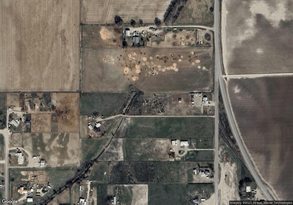
Map
Nearby Homes
- 4615 Rolland Rd
- 4647 Highway 52
- 4603 Highway 52
- 4621 Rolland Rd
- 207 Cedar Rd
- 4660 Highway 52
- 4660 Hwy 52
- 1 Boat Landing Rd
- 207 Boatlanding Rd
- 207 Boat Landing Rd
- 216 Boat Landing Rd
- 4600 Highway 52
- 4600 Oregon 52
- 222 Boat Landing Rd
- 195a Boat Landing Rd
- 195 Boat Landing Rd
- 4630 Quail Ln
- 228 Boat Landing Rd
- 4620 Quail Ln
- 211 Boat Landing Rd