46320 County Road 374 Paw Paw, MI 49079
Estimated Value: $342,355 - $415,000
--
Bed
--
Bath
1,560
Sq Ft
$239/Sq Ft
Est. Value
About This Home
This home is located at 46320 County Road 374, Paw Paw, MI 49079 and is currently estimated at $372,089, approximately $238 per square foot. 46320 County Road 374 is a home located in Van Buren County with nearby schools including Paw Paw Early Elementary School, Paw Paw Later Elementary School, and Paw Paw Middle School.
Ownership History
Date
Name
Owned For
Owner Type
Purchase Details
Closed on
Jul 28, 2005
Sold by
Buskirk Mark C and Buskirk Deborah A
Bought by
Perkins Dennis W and Perkins Kathleen M
Current Estimated Value
Home Financials for this Owner
Home Financials are based on the most recent Mortgage that was taken out on this home.
Original Mortgage
$112,500
Outstanding Balance
$59,401
Interest Rate
5.74%
Mortgage Type
Fannie Mae Freddie Mac
Estimated Equity
$312,688
Create a Home Valuation Report for This Property
The Home Valuation Report is an in-depth analysis detailing your home's value as well as a comparison with similar homes in the area
Home Values in the Area
Average Home Value in this Area
Purchase History
| Date | Buyer | Sale Price | Title Company |
|---|---|---|---|
| Perkins Dennis W | $16,900 | Chicago Title |
Source: Public Records
Mortgage History
| Date | Status | Borrower | Loan Amount |
|---|---|---|---|
| Open | Perkins Dennis W | $112,500 |
Source: Public Records
Tax History Compared to Growth
Tax History
| Year | Tax Paid | Tax Assessment Tax Assessment Total Assessment is a certain percentage of the fair market value that is determined by local assessors to be the total taxable value of land and additions on the property. | Land | Improvement |
|---|---|---|---|---|
| 2025 | -- | $174,700 | $0 | $0 |
| 2024 | -- | $170,100 | $0 | $0 |
| 2023 | -- | $151,200 | $0 | $0 |
| 2022 | -- | $133,000 | $0 | $0 |
| 2021 | $0 | $113,800 | $0 | $0 |
| 2020 | $0 | $93,400 | $6,600 | $86,800 |
| 2019 | $1,335 | $89,600 | $89,600 | $0 |
| 2018 | $1,335 | $92,100 | $93,200 | $0 |
| 2017 | $1,335 | $0 | $0 | $0 |
| 2016 | $667 | $0 | $0 | $0 |
| 2015 | $553 | $0 | $0 | $0 |
| 2014 | $1,093 | $0 | $0 | $0 |
| 2013 | -- | $60,200 | $60,200 | $0 |
Source: Public Records
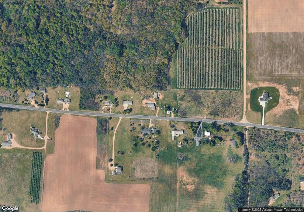
Map
Nearby Homes
- 47404 Red Arrow Hwy
- 44702 B 56th Ave
- 58797 Territorial Rd
- 57653 W Red Arrow Hwy
- 58356 Cr 671
- 00000 Cr 673
- 47944 County Road 673
- 41908 48th Ave
- 48893 Main St
- V L 42nd Ave
- 48051 County Road 673
- 48855 South St
- 48901 South St
- 48900 South St
- 000 S Paw St
- 110 S 2nd St
- 40824 48th St
- 45717 64th Ave
- 0 W Saint Joseph St
- 620 Bangor Rd
- 46510 County Road 374
- 46264 County Road 374
- 59207 County Road 374
- 0 County Road 374
- 46664 County Road 374
- 46510 Cr 37
- 46383 County Road 374
- 46786 County Road 374
- 46459 C R 374
- 46171 County Road 374
- 46701 County Road 374
- 51440 46th St
- 0 46th St
- 51400 46th St
- Parcel 2 Cr 374
- 45749 County Road 374
- Parcel 3 Cr 374
- 9763 County Road 374
- 45440 County Road 374
- 47359 County Road 374