4633 Antrim Ln Springfield, OH 45503
Estimated Value: $363,000 - $523,000
3
Beds
3
Baths
1,776
Sq Ft
$227/Sq Ft
Est. Value
About This Home
This home is located at 4633 Antrim Ln, Springfield, OH 45503 and is currently estimated at $403,419, approximately $227 per square foot. 4633 Antrim Ln is a home located in Clark County with nearby schools including Rolling Hills Elementary School, Northridge Middle School, and Kenton Ridge Middle & High School.
Ownership History
Date
Name
Owned For
Owner Type
Purchase Details
Closed on
Jan 14, 2010
Sold by
Hoppes Builders & Development Company
Bought by
Salter Adam G and Salter Erin N
Current Estimated Value
Home Financials for this Owner
Home Financials are based on the most recent Mortgage that was taken out on this home.
Original Mortgage
$81,400
Outstanding Balance
$53,226
Interest Rate
4.87%
Mortgage Type
New Conventional
Estimated Equity
$350,193
Create a Home Valuation Report for This Property
The Home Valuation Report is an in-depth analysis detailing your home's value as well as a comparison with similar homes in the area
Home Values in the Area
Average Home Value in this Area
Purchase History
| Date | Buyer | Sale Price | Title Company |
|---|---|---|---|
| Salter Adam G | $227,900 | Midwest Title Company |
Source: Public Records
Mortgage History
| Date | Status | Borrower | Loan Amount |
|---|---|---|---|
| Open | Salter Adam G | $81,400 |
Source: Public Records
Tax History Compared to Growth
Tax History
| Year | Tax Paid | Tax Assessment Tax Assessment Total Assessment is a certain percentage of the fair market value that is determined by local assessors to be the total taxable value of land and additions on the property. | Land | Improvement |
|---|---|---|---|---|
| 2024 | $3,650 | $86,310 | $19,670 | $66,640 |
| 2023 | $3,650 | $86,310 | $19,670 | $66,640 |
| 2022 | $3,663 | $86,310 | $19,670 | $66,640 |
| 2021 | $3,498 | $69,850 | $15,370 | $54,480 |
| 2020 | $3,501 | $69,850 | $15,370 | $54,480 |
| 2019 | $3,568 | $69,850 | $15,370 | $54,480 |
| 2018 | $3,724 | $69,820 | $12,960 | $56,860 |
| 2017 | $3,193 | $62,969 | $12,964 | $50,005 |
| 2016 | $3,171 | $62,969 | $12,964 | $50,005 |
| 2015 | $3,132 | $62,353 | $12,348 | $50,005 |
| 2014 | $3,132 | $62,353 | $12,348 | $50,005 |
| 2013 | $3,059 | $62,353 | $12,348 | $50,005 |
Source: Public Records
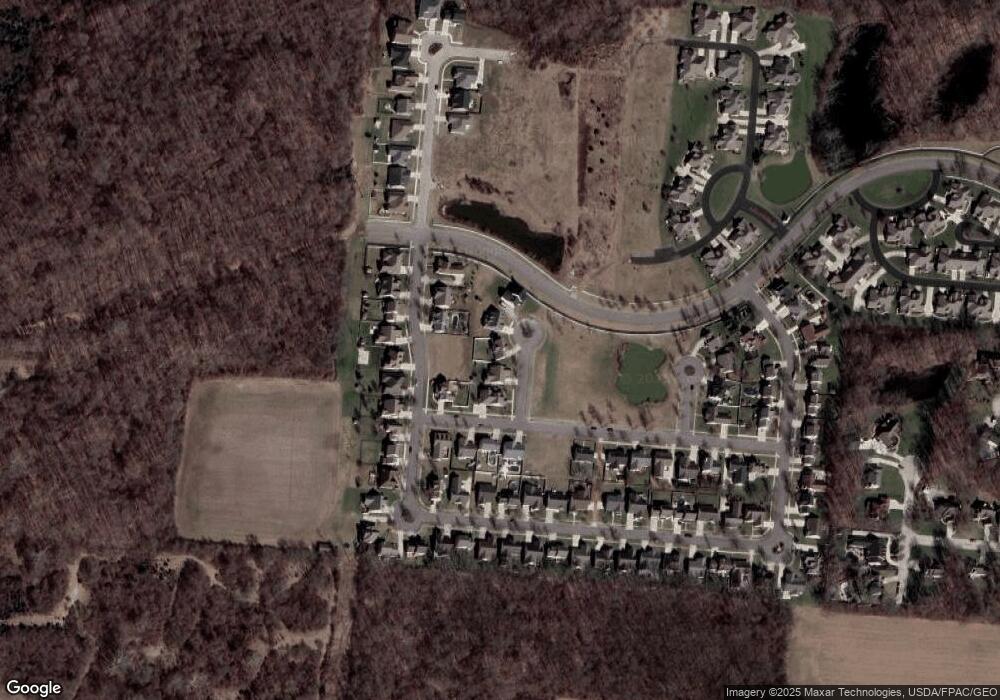
Map
Nearby Homes
- 593 Hiser Ave
- 794 Donnelly Ave
- 4514 Dowden St
- 916 Sawmill Ct
- 880 Brendle Trace Unit 28
- 970 Forest Edge Ave
- 4712 Cullen Ave
- 4109 Derr Rd
- 4622 W Ridgewood Rd
- 1139 Greenoak Ct
- 1461 Student Ave
- 4446 Ridgewood Rd E Unit 3
- 4512 Ridgewood Rd E
- 1162 Kingsgate Rd
- 5127 Stoneridge Dr
- 4438 Tacoma St
- 5249 Taywell Dr