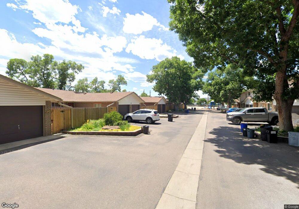
4633 Independence St Unit 4 Wheat Ridge, CO 80033
Kipling NeighborhoodEstimated Value: $291,186 - $310,000
2
Beds
1
Bath
862
Sq Ft
$351/Sq Ft
Est. Value
About This Home
This home is located at 4633 Independence St Unit 4, Wheat Ridge, CO 80033 and is currently estimated at $302,297, approximately $350 per square foot. 4633 Independence St Unit 4 is a home located in Jefferson County with nearby schools including Peak Expeditionary - Pennington, Everitt Middle School, and Wheat Ridge High School.
Ownership History
Date
Name
Owned For
Owner Type
Purchase Details
Closed on
Dec 13, 2012
Sold by
Staab Steven Terry and Staab Noelle Paige
Bought by
Independence 4633 Llc
Current Estimated Value
Purchase Details
Closed on
Jul 9, 2010
Sold by
Leroux Candis
Bought by
Staab Steven Terry and Staab Noelle Paige
Purchase Details
Closed on
Jan 15, 2003
Sold by
Durand Agnes M
Bought by
Leroux Candis
Home Financials for this Owner
Home Financials are based on the most recent Mortgage that was taken out on this home.
Original Mortgage
$137,953
Interest Rate
6%
Mortgage Type
FHA
Purchase Details
Closed on
Feb 11, 1999
Sold by
Stribling Investment Trust
Bought by
Durand Agnes M
Home Financials for this Owner
Home Financials are based on the most recent Mortgage that was taken out on this home.
Original Mortgage
$32,000
Interest Rate
6.85%
Create a Home Valuation Report for This Property
The Home Valuation Report is an in-depth analysis detailing your home's value as well as a comparison with similar homes in the area
Home Values in the Area
Average Home Value in this Area
Purchase History
| Date | Buyer | Sale Price | Title Company |
|---|---|---|---|
| Independence 4633 Llc | -- | None Available | |
| Staab Steven Terry | $90,000 | Heritage Title | |
| Leroux Candis | $142,000 | -- | |
| Durand Agnes M | $85,000 | Land Title | |
| Stribling Investment Trust | -- | Land Title |
Source: Public Records
Mortgage History
| Date | Status | Borrower | Loan Amount |
|---|---|---|---|
| Previous Owner | Leroux Candis | $137,953 | |
| Previous Owner | Durand Agnes M | $32,000 |
Source: Public Records
Tax History Compared to Growth
Tax History
| Year | Tax Paid | Tax Assessment Tax Assessment Total Assessment is a certain percentage of the fair market value that is determined by local assessors to be the total taxable value of land and additions on the property. | Land | Improvement |
|---|---|---|---|---|
| 2024 | $1,714 | $18,493 | $6,030 | $12,463 |
| 2023 | $1,714 | $18,493 | $6,030 | $12,463 |
| 2022 | $1,404 | $15,074 | $4,170 | $10,904 |
| 2021 | $1,425 | $15,508 | $4,290 | $11,218 |
| 2020 | $1,381 | $15,061 | $4,290 | $10,771 |
| 2019 | $1,362 | $15,061 | $4,290 | $10,771 |
| 2018 | $969 | $10,418 | $3,600 | $6,818 |
| 2017 | $883 | $10,418 | $3,600 | $6,818 |
| 2016 | $716 | $7,914 | $2,706 | $5,208 |
| 2015 | $615 | $9,321 | $2,706 | $6,615 |
| 2014 | $615 | $6,392 | $2,229 | $4,163 |
Source: Public Records
Map
Nearby Homes
- 4643 Independence St Unit 9
- 4737 Flower St Unit 4737
- 9380 W 49th Ave Unit 101
- 10251 W 44th Ave Unit 6-106
- 4658 Flower St Unit 4658
- 4931 Garrison St Unit 204G
- 8976 W 46th Place Unit 8976
- 5021 Garrison St Unit 103A
- 5041 Garrison St Unit 204C
- 4201 Garland St
- 4563 Everett St
- 8945 W 49th Ave
- 9870 W 41st Ave
- 10095 W 41st Ave
- 8748 W 46th Ave
- 4950 Estes Ct
- 4744 Dudley St
- 4752 Dover St
- 8553 W 48th Place
- 3880 Independence Ct
- 4631 Independence St Unit 5
- 4635 Independence St Unit 3
- 4637 Independence St Unit 2
- 4629 Independence St Unit 6
- 4627 Independence St Unit 7
- 4639 Independence St Unit 1
- 4625 Independence St Unit 8
- 4653 Independence St Unit 4
- 4651 Independence St Unit 5
- 4657 Independence St Unit 2
- 4623 Independence St Unit 9
- 4649 Independence St Unit 6
- 4659 Independence St Unit 1
- 4647 Independence St Unit 7
- 4621 Independence St Unit 10
- 4673 Independence St Unit 4
- 4675 Independence St Unit 3
- 4671 Independence St Unit 5
- 4645 Independence St Unit 8
- 4677 Independence St Unit 2