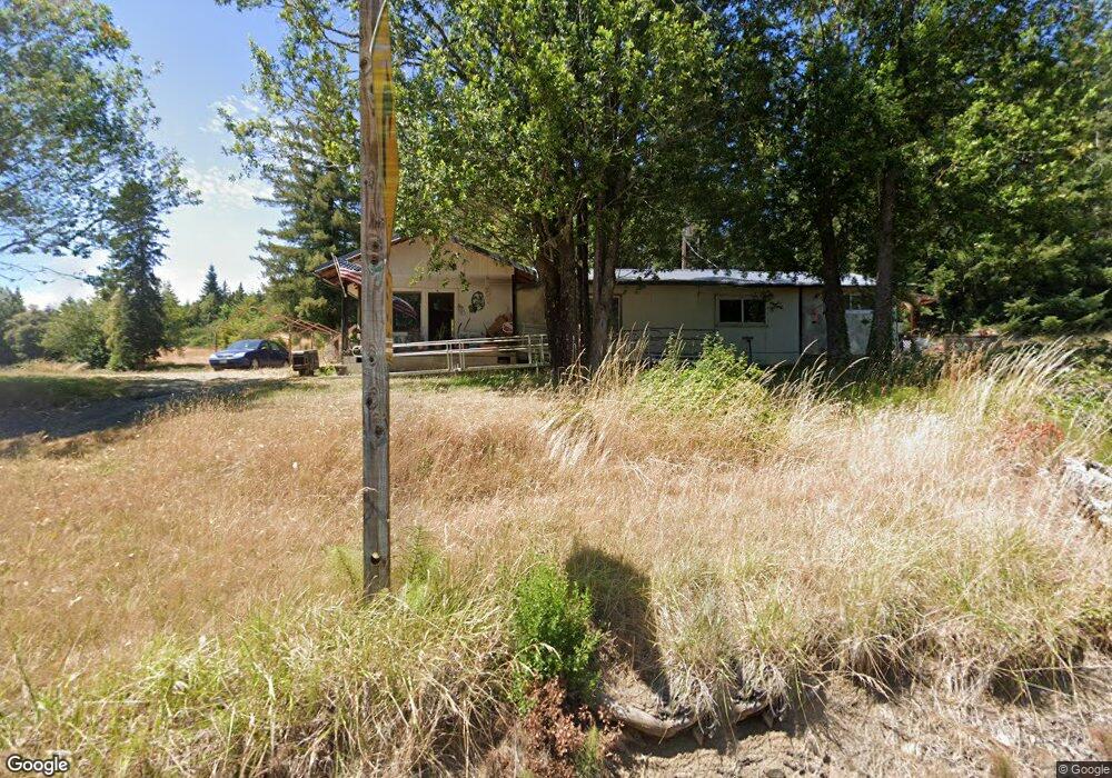
46331 Highway 242 Myrtle Point, OR 97458
Estimated Value: $338,227 - $362,000
3
Beds
1
Bath
1,728
Sq Ft
$203/Sq Ft
Est. Value
About This Home
This home is located at 46331 Highway 242, Myrtle Point, OR 97458 and is currently estimated at $350,114, approximately $202 per square foot. 46331 Highway 242 is a home located in Coos County with nearby schools including Myrtle Crest School and Myrtle Point High School.
Create a Home Valuation Report for This Property
The Home Valuation Report is an in-depth analysis detailing your home's value as well as a comparison with similar homes in the area
Home Values in the Area
Average Home Value in this Area
Tax History Compared to Growth
Tax History
| Year | Tax Paid | Tax Assessment Tax Assessment Total Assessment is a certain percentage of the fair market value that is determined by local assessors to be the total taxable value of land and additions on the property. | Land | Improvement |
|---|---|---|---|---|
| 2025 | $1,131 | $122,640 | -- | -- |
| 2024 | $1,113 | $119,070 | -- | -- |
| 2023 | $1,049 | $115,610 | $0 | $0 |
| 2022 | $1,046 | $112,250 | $0 | $0 |
| 2021 | $1,024 | $108,990 | $0 | $0 |
| 2020 | $999 | $108,990 | $0 | $0 |
| 2019 | $946 | $102,740 | $0 | $0 |
| 2018 | $923 | $99,750 | $0 | $0 |
| 2017 | $903 | $96,850 | $0 | $0 |
| 2016 | $880 | $94,030 | $0 | $0 |
| 2015 | $831 | $91,300 | $0 | $0 |
| 2014 | $831 | $88,650 | $0 | $0 |
Source: Public Records
Map
Nearby Homes
- 46386 Highway 242
- 46254 Highway 242
- 46393 Highway 242
- 46167 Highway 242
- 46173 Highway 242
- 51107 Hwy 242
- 46165 Highway 242
- 0 Hc84 Box12g49 Unit 143801
- 48741 Gaylord Rd
- 46760 Highway 242
- 46017 Highway 242
- 49021 Gaylord Rd
- 48921 McWilliams Pit Rd
- 47063 Highway 242
- 49066 McWilliams Pit Rd
- 47063 Hwy 242
- 47058 Highway 242