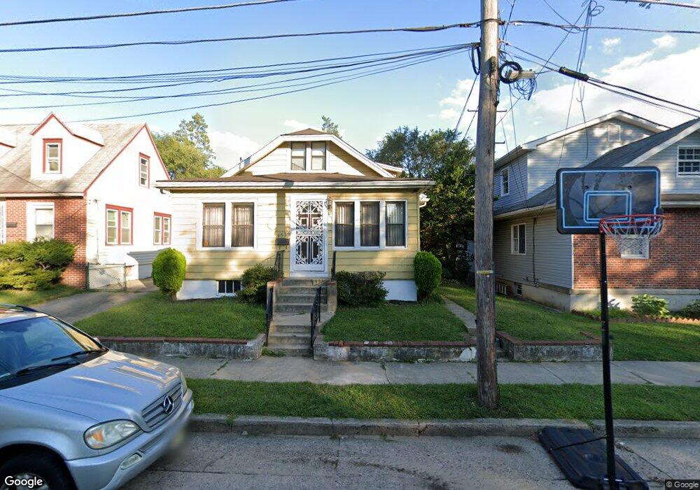
4634 Harding Rd Pennsauken, NJ 08109
Estimated Value: $208,807 - $305,000
--
Bed
--
Bath
1,529
Sq Ft
$178/Sq Ft
Est. Value
About This Home
This home is located at 4634 Harding Rd, Pennsauken, NJ 08109 and is currently estimated at $272,702, approximately $178 per square foot. 4634 Harding Rd is a home located in Camden County with nearby schools including Pennsauken High School, St. Peter Elementary School, and Camden Forward School.
Ownership History
Date
Name
Owned For
Owner Type
Purchase Details
Closed on
Oct 31, 1997
Sold by
Valentino John C
Bought by
Cummings Matthew
Current Estimated Value
Home Financials for this Owner
Home Financials are based on the most recent Mortgage that was taken out on this home.
Original Mortgage
$79,000
Outstanding Balance
$12,908
Interest Rate
7.23%
Mortgage Type
FHA
Estimated Equity
$259,794
Create a Home Valuation Report for This Property
The Home Valuation Report is an in-depth analysis detailing your home's value as well as a comparison with similar homes in the area
Home Values in the Area
Average Home Value in this Area
Purchase History
| Date | Buyer | Sale Price | Title Company |
|---|---|---|---|
| Cummings Matthew | $78,000 | -- |
Source: Public Records
Mortgage History
| Date | Status | Borrower | Loan Amount |
|---|---|---|---|
| Open | Cummings Matthew | $79,000 |
Source: Public Records
Tax History Compared to Growth
Tax History
| Year | Tax Paid | Tax Assessment Tax Assessment Total Assessment is a certain percentage of the fair market value that is determined by local assessors to be the total taxable value of land and additions on the property. | Land | Improvement |
|---|---|---|---|---|
| 2025 | $5,597 | $286,100 | $50,700 | $235,400 |
| 2024 | $5,489 | $128,600 | $38,200 | $90,400 |
| 2023 | $5,489 | $128,600 | $38,200 | $90,400 |
| 2022 | $4,963 | $128,600 | $38,200 | $90,400 |
| 2021 | $5,096 | $128,600 | $38,200 | $90,400 |
| 2020 | $4,565 | $128,600 | $38,200 | $90,400 |
| 2019 | $4,618 | $128,600 | $38,200 | $90,400 |
| 2018 | $4,642 | $128,600 | $38,200 | $90,400 |
| 2017 | $4,651 | $128,600 | $38,200 | $90,400 |
| 2016 | $4,568 | $128,600 | $38,200 | $90,400 |
| 2015 | $4,704 | $128,600 | $38,200 | $90,400 |
| 2014 | $4,316 | $77,600 | $13,800 | $63,800 |
Source: Public Records
Map
Nearby Homes
- 4782 Lafayette Ave
- 4616 Woodland Ave
- 4749 Poplar Ave
- 4817 Browning Rd
- 3619 Fremont Ave
- 4908 Laurel Ave
- 5131 Garfield Ave
- 3733 Drexel Ave
- 320 W Maple Ave
- 224 S 32nd St
- 2404 42nd St
- 4116 Burwood Ave
- 220 Volans St
- 3241 N 48th St
- 6324 Roosevelt Ave
- 2240 40th St
- 226 Wilmot Ave
- 2446 46th St
- 113 S 32nd St
- 106 N 34th St
- 4630 Harding Rd
- 4640 Harding Rd
- 4624 Harding Rd
- 4646 Harding Rd
- 4725 Sherwood Terrace
- 4620 Harding Rd
- 4739 Sherwood Terrace
- 4713 Sherwood Terrace
- 4129 Laurel Ave
- 4711 Sherwood Terrace
- 4709 Sherwood Terrace
- 4614 Harding Rd
- 4707 Sherwood Terrace
- 4123 Laurel Ave
- 4705 Sherwood Terrace
- 4703 Sherwood Terrace
- 4608 Harding Rd
- 5308 Harding Rd
- 5301 Sherwood Terrace
- 4114 Myrtle Ave