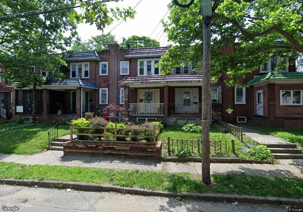
4634 Woodland Ave Pennsauken, NJ 08110
Estimated Value: $145,000 - $221,000
--
Bed
--
Bath
1,212
Sq Ft
$143/Sq Ft
Est. Value
About This Home
This home is located at 4634 Woodland Ave, Pennsauken, NJ 08110 and is currently estimated at $173,137, approximately $142 per square foot. 4634 Woodland Ave is a home located in Camden County with nearby schools including Pennsauken High School, Camden Forward School, and St Joseph Pro-Cathedral School.
Ownership History
Date
Name
Owned For
Owner Type
Purchase Details
Closed on
Mar 26, 2025
Sold by
Doran Keith J and Doran Donna J
Bought by
Planting A Seed Llc
Current Estimated Value
Home Financials for this Owner
Home Financials are based on the most recent Mortgage that was taken out on this home.
Original Mortgage
$135,000
Interest Rate
6.64%
Mortgage Type
Construction
Purchase Details
Closed on
Jan 27, 1989
Bought by
Doran K J and % Kathleen Klein D J
Create a Home Valuation Report for This Property
The Home Valuation Report is an in-depth analysis detailing your home's value as well as a comparison with similar homes in the area
Home Values in the Area
Average Home Value in this Area
Purchase History
| Date | Buyer | Sale Price | Title Company |
|---|---|---|---|
| Planting A Seed Llc | $140,000 | Old Republic National Title | |
| Planting A Seed Llc | $140,000 | Old Republic National Title | |
| Doran K J | $40,000 | -- |
Source: Public Records
Mortgage History
| Date | Status | Borrower | Loan Amount |
|---|---|---|---|
| Previous Owner | Planting A Seed Llc | $135,000 |
Source: Public Records
Tax History Compared to Growth
Tax History
| Year | Tax Paid | Tax Assessment Tax Assessment Total Assessment is a certain percentage of the fair market value that is determined by local assessors to be the total taxable value of land and additions on the property. | Land | Improvement |
|---|---|---|---|---|
| 2025 | $3,508 | $197,500 | $37,200 | $160,300 |
| 2024 | $3,440 | $80,600 | $19,700 | $60,900 |
| 2023 | $3,440 | $80,600 | $19,700 | $60,900 |
| 2022 | $3,110 | $80,600 | $19,700 | $60,900 |
| 2021 | $3,188 | $80,600 | $19,700 | $60,900 |
| 2020 | $2,861 | $80,600 | $19,700 | $60,900 |
| 2019 | $2,894 | $80,600 | $19,700 | $60,900 |
| 2018 | $2,910 | $80,600 | $19,700 | $60,900 |
| 2017 | $2,915 | $80,600 | $19,700 | $60,900 |
| 2016 | $2,863 | $80,600 | $19,700 | $60,900 |
| 2015 | $2,948 | $80,600 | $19,700 | $60,900 |
| 2014 | $2,965 | $53,300 | $10,700 | $42,600 |
Source: Public Records
Map
Nearby Homes
- 4616 Woodland Ave
- 3619 Fremont Ave
- 224 S 32nd St
- 4782 Lafayette Ave
- 3733 Drexel Ave
- 4749 Poplar Ave
- 4434 Homestead Ave
- 113 S 32nd St
- 226 Wilmot Ave
- 4817 Browning Rd
- 106 N 34th St
- 4116 Burwood Ave
- 2240 40th St
- 6324 Roosevelt Ave
- 2404 42nd St
- 610 W Chestnut Ave
- 127 N 33rd St
- 3075 Stevens St
- 4908 Laurel Ave
- 6501 Roosevelt Ave
- 4632 Woodland Ave
- 4636 Woodland Ave
- 4630 Woodland Ave
- 4628 Woodland Ave
- 4626 Woodland Ave
- 4624 Woodland Ave
- 4622 Woodland Ave
- 3905 Terrace Ave
- 3907 Terrace Ave
- 3909 Terrace Ave
- 3903 Terrace Ave
- 3901 Terrace Ave
- 4620 Woodland Ave
- 4618 Woodland Ave
- 4631 Woodland Ave
- 4629 Woodland Ave
- 4627 Woodland Ave
- 4633 Woodland Ave
- 4625 Woodland Ave
- 4635 Woodland Ave