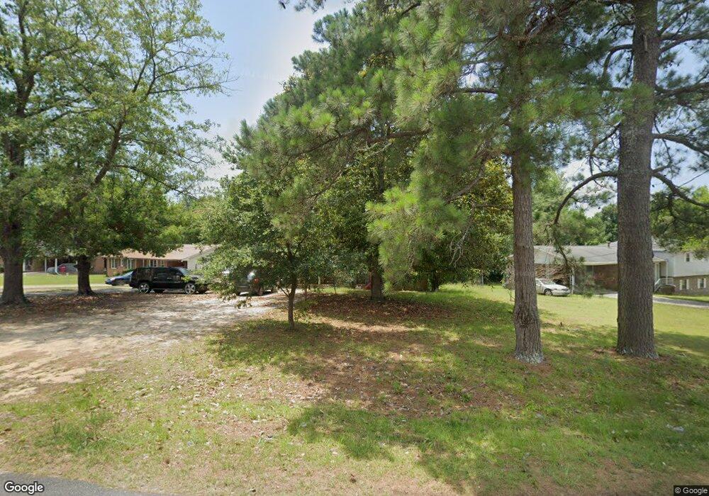
4635 Sylvester Cir S Macon, GA 31217
Estimated Value: $148,000 - $180,000
4
Beds
2
Baths
1,448
Sq Ft
$115/Sq Ft
Est. Value
About This Home
This home is located at 4635 Sylvester Cir S, Macon, GA 31217 and is currently estimated at $166,125, approximately $114 per square foot. 4635 Sylvester Cir S is a home located in Bibb County with nearby schools including Bernd Elementary School, Appling Middle School, and Northeast High School.
Ownership History
Date
Name
Owned For
Owner Type
Purchase Details
Closed on
Nov 8, 2006
Sold by
Dennis Johnny
Bought by
Dennis Rob E
Current Estimated Value
Home Financials for this Owner
Home Financials are based on the most recent Mortgage that was taken out on this home.
Original Mortgage
$103,377
Outstanding Balance
$60,718
Interest Rate
6.27%
Mortgage Type
FHA
Estimated Equity
$105,407
Purchase Details
Closed on
Oct 4, 1994
Sold by
Dennis Rob Edward
Bought by
Dennis Mamie L
Create a Home Valuation Report for This Property
The Home Valuation Report is an in-depth analysis detailing your home's value as well as a comparison with similar homes in the area
Home Values in the Area
Average Home Value in this Area
Purchase History
| Date | Buyer | Sale Price | Title Company |
|---|---|---|---|
| Dennis Rob E | $105,000 | None Available | |
| Dennis Mamie L | -- | -- |
Source: Public Records
Mortgage History
| Date | Status | Borrower | Loan Amount |
|---|---|---|---|
| Open | Dennis Rob E | $103,377 |
Source: Public Records
Tax History Compared to Growth
Tax History
| Year | Tax Paid | Tax Assessment Tax Assessment Total Assessment is a certain percentage of the fair market value that is determined by local assessors to be the total taxable value of land and additions on the property. | Land | Improvement |
|---|---|---|---|---|
| 2025 | $1,099 | $51,720 | $6,000 | $45,720 |
| 2024 | $1,136 | $51,720 | $6,000 | $45,720 |
| 2023 | $527 | $45,757 | $6,000 | $39,757 |
| 2022 | $1,130 | $39,629 | $6,982 | $32,647 |
| 2021 | $1,240 | $39,629 | $6,982 | $32,647 |
| 2020 | $1,267 | $39,629 | $6,982 | $32,647 |
| 2019 | $1,277 | $39,629 | $6,982 | $32,647 |
| 2018 | $2,136 | $39,629 | $6,982 | $32,647 |
| 2017 | $1,222 | $39,629 | $6,982 | $32,647 |
| 2016 | $1,129 | $39,629 | $6,982 | $32,647 |
| 2015 | $1,598 | $39,629 | $6,982 | $32,647 |
| 2014 | $534 | $39,629 | $6,982 | $32,647 |
Source: Public Records
Map
Nearby Homes
- 4231 Donnan Rd
- 631 Crabapple Place
- 4509 Donnan Rd
- 253 Apple Valley Rd
- 3741 Franklinton Rd
- 4401 Crystal Lake Dr
- 5151 Riggins Mill Rd
- 3917 Jeffersonville Rd
- 3909 Jeffersonville Rd
- 627 Windsong Way Ct
- 4121 Irwinton Rd
- 2766 Stanley Dr
- 2776 Stanley Dr
- 0 Highway 57 Unit 180601
- 4400 Davis Rd
- 2975 Frederick Dr
- 3704 Greenway Place
- 3335 Esther Dr
- 4657 Sylvester Cir S
- 4603 Sylvester Cir S
- 0 Sylvester Cir S Unit 7083314
- 0 Sylvester Cir S Unit 7539266
- 0 Sylvester Cir S Unit 7639041
- 0 Sylvester Cir S Unit 8071369
- 0 Sylvester Cir S Unit 7036485
- 0 Sylvester Cir S
- 4677 Sylvester Cir S
- 4515 Sylvester Ct
- 4628 Sylvester Cir S
- 4642 Sylvester Cir S
- 4593 Sylvester Cir S
- 0 Sylvester Ct Unit 8709763
- 0 Sylvester Ct Unit 8426122
- 0 Sylvester Ct
- 4656 Sylvester Cir S
- 4670 Sylvester Cir S
- 4685 Sylvester Cir S
- 4514 Sylvester Ct
