4636 Burnt Fork Cir Douglasville, GA 30135
Anneewakee NeighborhoodEstimated Value: $332,866 - $358,000
4
Beds
3
Baths
2,444
Sq Ft
$141/Sq Ft
Est. Value
About This Home
This home is located at 4636 Burnt Fork Cir, Douglasville, GA 30135 and is currently estimated at $344,967, approximately $141 per square foot. 4636 Burnt Fork Cir is a home located in Douglas County with nearby schools including New Manchester Elementary School, Factory Shoals Middle School, and New Manchester High School.
Ownership History
Date
Name
Owned For
Owner Type
Purchase Details
Closed on
Aug 27, 2012
Sold by
Barker Corey T
Bought by
Garcia Yaviel and Garcia Dia
Current Estimated Value
Home Financials for this Owner
Home Financials are based on the most recent Mortgage that was taken out on this home.
Original Mortgage
$95,000
Outstanding Balance
$65,612
Interest Rate
3.53%
Mortgage Type
VA
Estimated Equity
$279,355
Purchase Details
Closed on
Jul 29, 2005
Sold by
Weekley Homes
Bought by
Barker Corey T and Barker Diana
Home Financials for this Owner
Home Financials are based on the most recent Mortgage that was taken out on this home.
Original Mortgage
$204,300
Interest Rate
6.5%
Mortgage Type
New Conventional
Create a Home Valuation Report for This Property
The Home Valuation Report is an in-depth analysis detailing your home's value as well as a comparison with similar homes in the area
Home Values in the Area
Average Home Value in this Area
Purchase History
| Date | Buyer | Sale Price | Title Company |
|---|---|---|---|
| Garcia Yaviel | $95,000 | -- | |
| Barker Corey T | $204,400 | -- |
Source: Public Records
Mortgage History
| Date | Status | Borrower | Loan Amount |
|---|---|---|---|
| Open | Garcia Yaviel | $95,000 | |
| Previous Owner | Barker Corey T | $204,300 |
Source: Public Records
Tax History Compared to Growth
Tax History
| Year | Tax Paid | Tax Assessment Tax Assessment Total Assessment is a certain percentage of the fair market value that is determined by local assessors to be the total taxable value of land and additions on the property. | Land | Improvement |
|---|---|---|---|---|
| 2024 | $3,907 | $122,120 | $26,920 | $95,200 |
| 2023 | $3,907 | $122,120 | $26,920 | $95,200 |
| 2022 | $3,396 | $102,280 | $12,640 | $89,640 |
| 2021 | $2,293 | $68,320 | $9,960 | $58,360 |
| 2020 | $2,322 | $68,320 | $9,960 | $58,360 |
| 2019 | $2,123 | $66,760 | $9,960 | $56,800 |
| 2018 | $2,128 | $66,600 | $10,200 | $56,400 |
| 2017 | $2,017 | $61,840 | $10,520 | $51,320 |
| 2016 | $1,927 | $58,000 | $10,440 | $47,560 |
| 2015 | $1,481 | $55,080 | $10,200 | $44,880 |
| 2014 | $1,481 | $42,400 | $8,440 | $33,960 |
| 2013 | -- | $38,000 | $7,040 | $30,960 |
Source: Public Records
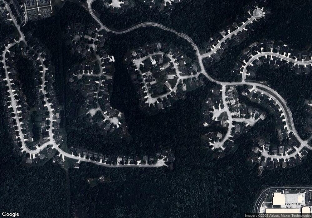
Map
Nearby Homes
- 2902 Grazing Bull Ct
- 4605 Lightning Bolt Trail
- 4375 Split Creek Dr
- 4590 River Stone Trail
- 4378 Lodgeview Place
- 3258 Hunting Creek Pass
- 4405 Feather Way
- 4370 Pipestone Place
- 4475 River Stone Tr
- 2940 Highland Hill Pkwy
- 2950 Highland Hill Pkwy Unit 1
- 4893 Spanish Oak Rd
- 3161 Berthas Overlook
- 4702 Moccasin Ct
- 2590 Gilbert Branch
- 2625 Thunder Basin Way Unit 1
- 0 Highway 92 Unit 7658655
- 0 Highway 92 Unit 10616110
- 4638 Burnt Fork Cir Unit 9
- 4634 Burnt Fork Cir
- 4640 Burnt Fork Cir
- 4632 Burnt Fork Cir
- 4642 Burnt Fork Cir
- 4630 Burnt Fork Cir
- 4633 Burnt Fork Cir
- 4633 Burnt Fork Cir Unit 36
- 4644 Burnt Fork Cir
- 4628 Burnt Fork Cir
- 4627 Burnt Fork Cir
- 4626 Burnt Fork Cir
- 4645 Burnt Fork Cir
- 4646 Burnt Fork Cir
- 4625 Burnt Fork Cir
- 4624 Burnt Fork Cir
- 4623 Burnt Fork Cir
- 0 Burnt Fork Cir Unit 7442347
- 0 Burnt Fork Cir Unit 8605345
- 0 Burnt Fork Cir Unit 8559335