4637 Burnside Dr Tobyhanna, PA 18466
Estimated Value: $197,952 - $217,000
3
Beds
2
Baths
1,048
Sq Ft
$200/Sq Ft
Est. Value
About This Home
This home is located at 4637 Burnside Dr, Tobyhanna, PA 18466 and is currently estimated at $209,738, approximately $200 per square foot. 4637 Burnside Dr is a home with nearby schools including Clear Run Intermediate School, Pocono Mountain West Junior High School, and Pocono Mountain West High School.
Ownership History
Date
Name
Owned For
Owner Type
Purchase Details
Closed on
Aug 12, 2020
Sold by
Saitta Allen J and Cancel Ivette
Bought by
Cancel Ivette
Current Estimated Value
Purchase Details
Closed on
May 8, 2017
Sold by
Saitta Allen J
Bought by
Saitta Allen J and Cancel Ivette
Purchase Details
Closed on
Oct 14, 2015
Sold by
Wagner Carol
Bought by
Saitta Allen J
Purchase Details
Closed on
Apr 7, 2008
Sold by
Vlismas Dianne E
Bought by
Wagner Carol
Create a Home Valuation Report for This Property
The Home Valuation Report is an in-depth analysis detailing your home's value as well as a comparison with similar homes in the area
Home Values in the Area
Average Home Value in this Area
Purchase History
| Date | Buyer | Sale Price | Title Company |
|---|---|---|---|
| Cancel Ivette | -- | None Available | |
| Saitta Allen J | -- | None Available | |
| Saitta Allen J | $29,500 | None Available | |
| Wagner Carol | $31,000 | None Available |
Source: Public Records
Tax History Compared to Growth
Tax History
| Year | Tax Paid | Tax Assessment Tax Assessment Total Assessment is a certain percentage of the fair market value that is determined by local assessors to be the total taxable value of land and additions on the property. | Land | Improvement |
|---|---|---|---|---|
| 2025 | $535 | $53,720 | $18,480 | $35,240 |
| 2024 | $448 | $53,720 | $18,480 | $35,240 |
| 2023 | $1,433 | $53,720 | $18,480 | $35,240 |
| 2022 | $1,408 | $53,720 | $18,480 | $35,240 |
| 2021 | $1,408 | $53,720 | $18,480 | $35,240 |
| 2020 | $377 | $53,720 | $18,480 | $35,240 |
| 2019 | $1,759 | $10,270 | $1,500 | $8,770 |
| 2018 | $1,759 | $10,270 | $1,500 | $8,770 |
| 2017 | $1,780 | $10,270 | $1,500 | $8,770 |
| 2016 | $636 | $17,190 | $5,250 | $11,940 |
| 2015 | $2,429 | $17,190 | $5,250 | $11,940 |
| 2014 | $2,429 | $17,190 | $5,250 | $11,940 |
Source: Public Records
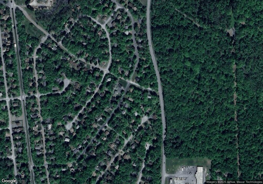
Map
Nearby Homes
- 4506 Briarcliff Terrace
- 4623 Burnside Dr
- 3361 Woodland Dr
- 4754 Brentwood Dr
- 5446 Jennifer Ln
- 4758 Brentwood Dr
- 4580 Briarcliff Terrace
- 4587 Briarcliff Terrace
- 5426 Ridgefield Dr
- 230 Greenbriar Cir
- 3076 Briarwood Dr
- 3055 Briarwood Dr
- 0 Woodland Dr Unit PM-132242
- 3084 Briarwood Dr
- 3050 Briarwood Dr
- 247 Carobeth Dr
- 3335 Woodland Dr
- 4155 Falcon Terrace
- 4156 Falcon Terrace
- 3111 Briarwood Dr Unit Lt D311
- 5403 Burnside Dr
- 4635 Burnside Dr
- 4638 Burnside Dr
- 4734 Brentwood Dr
- 5765 Brentwood Dr
- 3 E Ridgefield Dr
- 4737 Brentwood Dr
- 36 Brentwood Dr
- E21 Ridgefield Dr
- 354 Po Box
- 4636 Burnside Dr
- 4730 Brentwood Dr
- 4633 Burnside Dr
- 5741 Brentwood Dr
- 4634 Burnside Dr
- 4732 Brentwood Dr
- 4739 Brentwood Dr
- 4502 Briarcliff Terrace
- 5403 Ridgefield Dr
- 4 E Burnside Dr