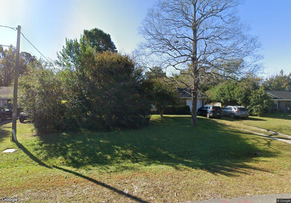
4638 Middlesex Rd Wilmington, NC 28405
Estimated Value: $238,000 - $285,000
3
Beds
2
Baths
1,040
Sq Ft
$259/Sq Ft
Est. Value
About This Home
This home is located at 4638 Middlesex Rd, Wilmington, NC 28405 and is currently estimated at $269,517, approximately $259 per square foot. 4638 Middlesex Rd is a home located in New Hanover County with nearby schools including Wrightsboro Elementary School, Holly Shelter Middle School, and Emsley A. Laney High School.
Ownership History
Date
Name
Owned For
Owner Type
Purchase Details
Closed on
Aug 26, 1994
Sold by
Pitts Vernon Donna
Bought by
Funderburk David W Melissa K
Current Estimated Value
Purchase Details
Closed on
Sep 17, 1992
Sold by
Parker Joanne S
Bought by
Pitts Vernon Donna
Purchase Details
Closed on
Sep 4, 1990
Sold by
Parker Harold L Joanne S
Bought by
Parker Joanne S
Purchase Details
Closed on
Aug 1, 1981
Sold by
Harold Parker Const Co
Bought by
Parker Harold L Joanne S
Purchase Details
Closed on
May 1, 1973
Bought by
Harold Parker Const Co
Create a Home Valuation Report for This Property
The Home Valuation Report is an in-depth analysis detailing your home's value as well as a comparison with similar homes in the area
Home Values in the Area
Average Home Value in this Area
Purchase History
| Date | Buyer | Sale Price | Title Company |
|---|---|---|---|
| Funderburk David W Melissa K | $68,500 | -- | |
| Pitts Vernon Donna | $60,000 | -- | |
| Parker Joanne S | -- | -- | |
| Parker Harold L Joanne S | -- | -- | |
| Harold Parker Const Co | -- | -- |
Source: Public Records
Tax History
| Year | Tax Paid | Tax Assessment Tax Assessment Total Assessment is a certain percentage of the fair market value that is determined by local assessors to be the total taxable value of land and additions on the property. | Land | Improvement |
|---|---|---|---|---|
| 2025 | -- | $278,300 | $114,100 | $164,200 |
| 2024 | $944 | $166,600 | $63,000 | $103,600 |
| 2023 | $938 | $166,600 | $63,000 | $103,600 |
| 2022 | $947 | $166,600 | $63,000 | $103,600 |
| 2021 | $924 | $166,600 | $63,000 | $103,600 |
| 2020 | $785 | $124,100 | $42,000 | $82,100 |
| 2019 | $785 | $124,100 | $42,000 | $82,100 |
| 2018 | $785 | $124,100 | $42,000 | $82,100 |
| 2017 | $804 | $124,100 | $42,000 | $82,100 |
| 2016 | $631 | $91,000 | $36,000 | $55,000 |
| 2015 | $586 | $91,000 | $36,000 | $55,000 |
| 2014 | $576 | $91,000 | $36,000 | $55,000 |
Source: Public Records
Map
Nearby Homes
- 4509 Kings Dr
- 1206 Kings Grant Rd
- 1325 Creek Bend Terrace
- 1404 Branch Row
- 4618 Riplee Dr
- 4424 Robin Dale Ct
- 4427 Deborah Ct
- 4307 Reed Ct
- 318 N Crestwood Dr
- 314 Brookfield Dr
- 5305 Kipling Ct
- 719 Grathwol Dr
- 354 Milford Rd
- 1707 Stones Edge Loop
- 906 Litchfield Way Unit L
- 805 March Ct Unit B
- 807 March Ct Unit E
- 804 Bryce Ct Unit I
- 713 Clearwater Ct Unit C
- 904 Litchfield Way Unit B
- 4634 Middlesex Rd
- 4642 Middlesex Rd
- 4629 Kings Dr
- 4630 Middlesex Rd
- 4646 Middlesex Rd
- 4637 Kings Dr
- 4637 Middlesex Rd
- 4633 Middlesex Rd
- 4625 Kings Dr
- 4641 Middlesex Rd
- 4629 Middlesex Rd
- 4626 Middlesex Rd
- 4641 Kings Dr
- 4621 Kings Dr
- 4645 Middlesex Rd
- 1109 Spring Branch Rd
- 4625 Middlesex Rd
- 1105 Spring Branch Rd
- 4622 Middlesex Rd
- 4634 Lord Elkins Rd
Your Personal Tour Guide
Ask me questions while you tour the home.