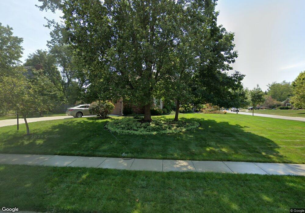
4639 Foster Dr Carmel, IN 46033
East Carmel NeighborhoodEstimated Value: $513,000 - $541,000
4
Beds
3
Baths
2,694
Sq Ft
$196/Sq Ft
Est. Value
About This Home
This home is located at 4639 Foster Dr, Carmel, IN 46033 and is currently estimated at $527,559, approximately $195 per square foot. 4639 Foster Dr is a home located in Hamilton County with nearby schools including Mohawk Trails Elementary School, Clay Middle School, and Carmel High School.
Ownership History
Date
Name
Owned For
Owner Type
Purchase Details
Closed on
Feb 22, 2006
Sold by
Loucks Charles A
Bought by
Loucks Charles A and Loucks Julie A
Current Estimated Value
Purchase Details
Closed on
Nov 2, 2005
Sold by
Loucks Charles A and Loucks Julie A
Bought by
Loucks Charles A
Purchase Details
Closed on
Mar 24, 2005
Sold by
Loucks Charles A
Bought by
Loucks Charles A and Loucks Julia A
Purchase Details
Closed on
Nov 6, 2004
Sold by
Loucks Charles A and Loucks Julia A
Bought by
Loucks Charles A
Home Financials for this Owner
Home Financials are based on the most recent Mortgage that was taken out on this home.
Original Mortgage
$75,000
Interest Rate
5.91%
Mortgage Type
New Conventional
Purchase Details
Closed on
Sep 20, 2002
Sold by
Loucks Charles A
Bought by
Loucks Charles A and Loucks Julia A
Create a Home Valuation Report for This Property
The Home Valuation Report is an in-depth analysis detailing your home's value as well as a comparison with similar homes in the area
Home Values in the Area
Average Home Value in this Area
Purchase History
| Date | Buyer | Sale Price | Title Company |
|---|---|---|---|
| Loucks Charles A | -- | None Available | |
| Loucks Charles A | -- | -- | |
| Loucks Charles A | -- | -- | |
| Loucks Charles A | -- | -- | |
| Loucks Charles A | -- | -- |
Source: Public Records
Mortgage History
| Date | Status | Borrower | Loan Amount |
|---|---|---|---|
| Closed | Loucks Charles A | $75,000 |
Source: Public Records
Tax History Compared to Growth
Tax History
| Year | Tax Paid | Tax Assessment Tax Assessment Total Assessment is a certain percentage of the fair market value that is determined by local assessors to be the total taxable value of land and additions on the property. | Land | Improvement |
|---|---|---|---|---|
| 2024 | $5,013 | $471,900 | $123,000 | $348,900 |
| 2023 | $5,013 | $462,400 | $82,700 | $379,700 |
| 2022 | $4,391 | $386,500 | $82,700 | $303,800 |
| 2021 | $3,767 | $335,000 | $82,700 | $252,300 |
| 2020 | $3,427 | $304,000 | $82,700 | $221,300 |
| 2019 | $3,399 | $304,100 | $59,500 | $244,600 |
| 2018 | $3,187 | $290,500 | $59,500 | $231,000 |
| 2017 | $3,143 | $288,000 | $59,500 | $228,500 |
| 2016 | $2,912 | $268,400 | $59,500 | $208,900 |
| 2014 | $2,894 | $277,100 | $54,700 | $222,400 |
| 2013 | $2,894 | $271,300 | $54,700 | $216,600 |
Source: Public Records
Map
Nearby Homes
- 59 Sycamore Dr
- 128 1st Ct
- 13233 Hazelwood Dr
- 12705 Brookshire Pkwy
- 12669 Brookshire Pkwy
- 4966 Riley Mews
- 1983 Woodbine Ct
- 651 Hawthorne Dr
- 1660 Obara Ct
- 12901 Harrison Dr
- 781 Dayton Dr
- 1129 Fairbanks Dr
- 5059 Morton Place
- 1910 Spruce Dr
- 1303 E 126th St
- 1816 Spruce Dr
- 12427 Charing Cross Rd
- 3713 Coventry Way
- 12488 Heatherstone Place
- 1483 Spruce Dr
- 4627 Foster Dr
- 13127 Briarwood Trace
- 13140 Briarwood Trace
- 4636 Foster Dr
- 13130 Brookshire Pkwy
- 13128 Briarwood Trace
- 4628 Foster Dr
- 13121 Briarwood Trace
- 13160 Briarwood Trace
- 13160 Briarwood Trace
- 4616 Foster Dr
- 13119 Briarwood Trace
- 13173 Briarwood Trace
- 13119 Briarwood Trace
- 13120 Briarwood Trace
- 13141 Foster Ct
- 13108 Brookshire Pkwy
- 13129 Foster Ct
- 13168 Briarwood Trace
- 13132 Brookshire Pkwy