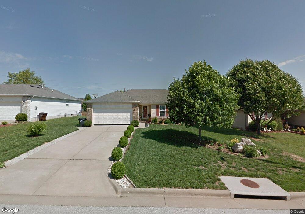
4639 W Portland St Springfield, MO 65802
Southwest Springfield NeighborhoodEstimated Value: $225,000 - $245,255
3
Beds
2
Baths
1,366
Sq Ft
$174/Sq Ft
Est. Value
About This Home
This home is located at 4639 W Portland St, Springfield, MO 65802 and is currently estimated at $237,064, approximately $173 per square foot. 4639 W Portland St is a home located in Greene County with nearby schools including Price Elementary School, Republic Middle School, and Republic High School.
Ownership History
Date
Name
Owned For
Owner Type
Purchase Details
Closed on
Aug 24, 2022
Sold by
Vandeusen Steven D and Nogales Fe
Bought by
Van Deusen Trust
Current Estimated Value
Purchase Details
Closed on
Jun 7, 2018
Sold by
Nita L Archer Trust
Bought by
Willkinson Jill
Purchase Details
Closed on
May 17, 2005
Sold by
Gapasin Ernesto C and Gapasin Tamara L
Bought by
Marcellus Jennifer
Create a Home Valuation Report for This Property
The Home Valuation Report is an in-depth analysis detailing your home's value as well as a comparison with similar homes in the area
Home Values in the Area
Average Home Value in this Area
Purchase History
| Date | Buyer | Sale Price | Title Company |
|---|---|---|---|
| Van Deusen Trust | -- | None Listed On Document | |
| Willkinson Jill | -- | None Available | |
| Marcellus Jennifer | -- | None Available |
Source: Public Records
Tax History Compared to Growth
Tax History
| Year | Tax Paid | Tax Assessment Tax Assessment Total Assessment is a certain percentage of the fair market value that is determined by local assessors to be the total taxable value of land and additions on the property. | Land | Improvement |
|---|---|---|---|---|
| 2025 | $1,711 | $34,280 | $5,700 | $28,580 |
| 2024 | $1,711 | $30,060 | $4,750 | $25,310 |
| 2023 | $1,677 | $30,060 | $4,750 | $25,310 |
| 2022 | $1,476 | $26,220 | $4,750 | $21,470 |
| 2021 | $1,476 | $26,220 | $4,750 | $21,470 |
| 2020 | $1,086 | $20,840 | $4,750 | $16,090 |
| 2019 | $1,082 | $20,840 | $4,750 | $16,090 |
| 2018 | $1,041 | $19,440 | $3,330 | $16,110 |
| 2017 | $1,033 | $17,980 | $3,330 | $14,650 |
| 2016 | $964 | $17,980 | $3,330 | $14,650 |
| 2015 | $964 | $17,980 | $3,330 | $14,650 |
| 2014 | $942 | $17,390 | $3,330 | $14,060 |
Source: Public Records
Map
Nearby Homes
- 4652 Blackfoot Dr
- 4641 Blackfoot Dr
- 4723 W Portland St
- 4487 W University St
- 4574 Hummer Dr
- 4845 W Washita St
- 1898 S Lullwood Ave
- 1895 S Lullwood Ave
- 4332 W Skyler Dr
- 4357 W Riley St
- 2031 S Pebble Ridge Rd
- 1169 S Miller Ave
- 4515 W Greenridge St
- 1282 S Canton Ave
- 1161 S Broadview Ave
- 5033 W Skyler Dr
- 000 W Farm Road 148
- 1707 S Farm Road 115
- 4426 W Normal St
- 1175 S Canton Ave
- 4651 W Portland St
- 4627 W Portland St
- 4663 W Portland St
- 4615 W Portland St
- 1637 S Fisk Ave
- 4636 Blackfoot Dr
- 4618 W Portland St
- 4603 W Portland St
- 4675 W Portland St
- 4664 Blackfoot Dr
- 4614 Blackfoot Dr
- 1649 S Fisk Ave
- 1636 S Miller Rd
- 4606 W Portland St
- 4601 W Portland St
- 4676 Blackfoot Dr
- 4602 Blackfoot Dr
- 1656 S Fisk Ave
- 1661 S Fisk Ave
- 1648 S Miller Rd