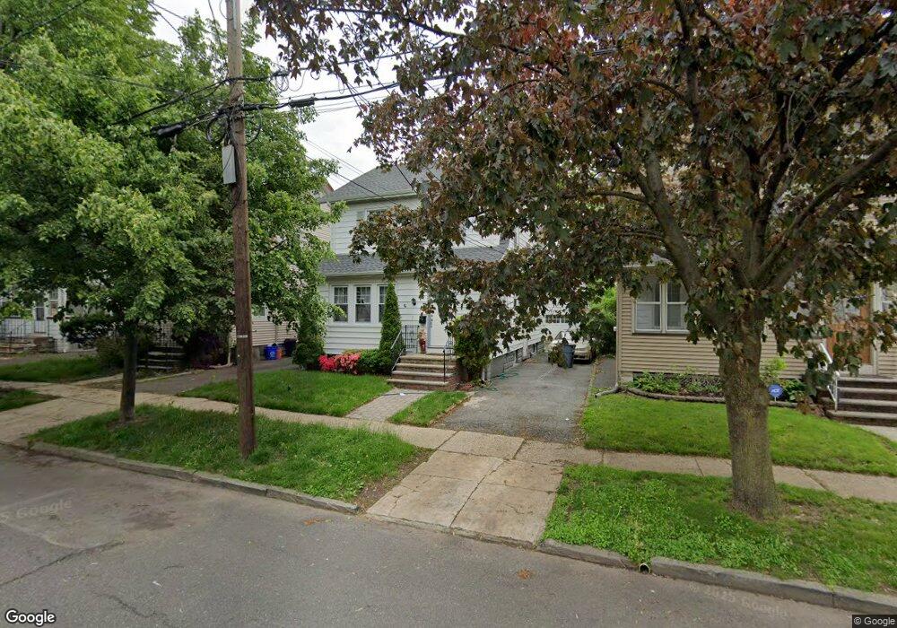
464 Beardsley Ave Bloomfield, NJ 07003
Estimated Value: $480,998 - $532,000
Studio
--
Bath
1,467
Sq Ft
$352/Sq Ft
Est. Value
About This Home
This home is located at 464 Beardsley Ave, Bloomfield, NJ 07003 and is currently estimated at $516,250, approximately $351 per square foot. 464 Beardsley Ave is a home located in Essex County with nearby schools including Carteret School, Bloomfield Middle School, and Bloomfield High School.
Ownership History
Date
Name
Owned For
Owner Type
Purchase Details
Closed on
Jan 29, 2007
Sold by
Edwards Riccardo
Bought by
Phillip Christopher and Phillip Natasha
Current Estimated Value
Home Financials for this Owner
Home Financials are based on the most recent Mortgage that was taken out on this home.
Original Mortgage
$260,000
Outstanding Balance
$175,845
Interest Rate
8.62%
Mortgage Type
Adjustable Rate Mortgage/ARM
Estimated Equity
$340,405
Purchase Details
Closed on
Jun 28, 1995
Sold by
Lopomo Lucas
Bought by
Edwards Riccardoedwards and Edwards Cheyanne
Home Financials for this Owner
Home Financials are based on the most recent Mortgage that was taken out on this home.
Original Mortgage
$124,000
Interest Rate
7.56%
Mortgage Type
FHA
Create a Home Valuation Report for This Property
The Home Valuation Report is an in-depth analysis detailing your home's value as well as a comparison with similar homes in the area
Home Values in the Area
Average Home Value in this Area
Purchase History
| Date | Buyer | Sale Price | Title Company |
|---|---|---|---|
| Phillip Christopher | $325,000 | -- | |
| Edwards Riccardoedwards | $123,500 | -- |
Source: Public Records
Mortgage History
| Date | Status | Borrower | Loan Amount |
|---|---|---|---|
| Open | Phillip Christopher | $260,000 | |
| Previous Owner | Edwards Riccardoedwards | $124,000 |
Source: Public Records
Tax History
| Year | Tax Paid | Tax Assessment Tax Assessment Total Assessment is a certain percentage of the fair market value that is determined by local assessors to be the total taxable value of land and additions on the property. | Land | Improvement |
|---|---|---|---|---|
| 2025 | $9,631 | $294,700 | $89,200 | $205,500 |
| 2024 | $9,631 | $294,700 | $89,200 | $205,500 |
Source: Public Records
Map
Nearby Homes
- 119 Waldo Ave
- 431 Abington Ave
- 193 Hoffman Blvd
- 413 Beardsley Ave
- 77 Warwick St
- 159 Leslie St
- 26 Lafayette Ave
- 7 Whitman Ave
- 171 Ampere Pkwy
- 220 N 17th St
- 243 N 15th St
- 527 N Grove St
- 147 N 15th St
- 188 Rutledge Ave
- 36 Edison St
- 25 Heckel St
- 37 Edison St
- 105 N 15th St
- 20 Heckel St Unit 3
- 20 Heckel St
- 466 Beardsley Ave
- 458 Beardsley Ave
- 470 Beardsley Ave
- 472 Beardsley Ave
- 79 Waldo Ave
- 456 Beardsley Ave
- 81 Waldo Ave
- 75 Waldo Ave
- 83 Waldo Ave
- 73 Waldo Ave
- 476 Beardsley Ave
- 454 Beardsley Ave
- 87 Waldo Ave
- 71 Waldo Ave
- 465 Beardsley Ave
- 469 Beardsley Ave
- 463 Beardsley Ave
- 471 Beardsley Ave
- 480 Beardsley Ave
- 89 Waldo Ave
Your Personal Tour Guide
Ask me questions while you tour the home.