464 Gold Crest Dr Dahlonega, GA 30533
Estimated Value: $372,481 - $541,000
3
Beds
2
Baths
1,745
Sq Ft
$251/Sq Ft
Est. Value
About This Home
This home is located at 464 Gold Crest Dr, Dahlonega, GA 30533 and is currently estimated at $437,370, approximately $250 per square foot. 464 Gold Crest Dr is a home located in Lumpkin County with nearby schools including Clay County Middle School and Lumpkin County High School.
Ownership History
Date
Name
Owned For
Owner Type
Purchase Details
Closed on
Oct 13, 2006
Sold by
Not Provided
Bought by
Kirby George Robert and Kirby Helen
Current Estimated Value
Home Financials for this Owner
Home Financials are based on the most recent Mortgage that was taken out on this home.
Original Mortgage
$40,000
Outstanding Balance
$23,776
Interest Rate
6.39%
Mortgage Type
New Conventional
Estimated Equity
$413,594
Purchase Details
Closed on
Dec 4, 1998
Sold by
Biggs Kathryn
Bought by
Powell C Michael
Purchase Details
Closed on
Jan 14, 1998
Sold by
Gold Cove Developm
Bought by
Biggs Kathryn
Purchase Details
Closed on
Jun 30, 1995
Sold by
Adderhold John E
Bought by
Gold Cove Developm
Purchase Details
Closed on
Aug 1, 1987
Bought by
Adderhold John Etal
Create a Home Valuation Report for This Property
The Home Valuation Report is an in-depth analysis detailing your home's value as well as a comparison with similar homes in the area
Home Values in the Area
Average Home Value in this Area
Purchase History
| Date | Buyer | Sale Price | Title Company |
|---|---|---|---|
| Kirby George Robert | $176,500 | -- | |
| Powell C Michael | $165,000 | -- | |
| Biggs Kathryn | $17,500 | -- | |
| Gold Cove Developm | -- | -- | |
| Adderhold John Etal | -- | -- |
Source: Public Records
Mortgage History
| Date | Status | Borrower | Loan Amount |
|---|---|---|---|
| Open | Kirby George Robert | $40,000 |
Source: Public Records
Tax History Compared to Growth
Tax History
| Year | Tax Paid | Tax Assessment Tax Assessment Total Assessment is a certain percentage of the fair market value that is determined by local assessors to be the total taxable value of land and additions on the property. | Land | Improvement |
|---|---|---|---|---|
| 2024 | $121 | $115,558 | $12,100 | $103,458 |
| 2023 | $212 | $108,830 | $12,100 | $96,730 |
| 2022 | $302 | $98,044 | $12,100 | $85,944 |
| 2021 | $141 | $82,022 | $12,100 | $69,922 |
| 2020 | $124 | $80,192 | $12,100 | $68,092 |
| 2019 | $128 | $80,192 | $12,100 | $68,092 |
| 2018 | $44 | $71,777 | $12,100 | $59,677 |
| 2017 | $21 | $69,705 | $12,100 | $57,605 |
| 2016 | $1,884 | $65,008 | $12,100 | $52,908 |
| 2015 | $1,678 | $65,008 | $12,100 | $52,908 |
| 2014 | $1,678 | $65,658 | $12,100 | $53,558 |
| 2013 | -- | $66,316 | $12,100 | $54,216 |
Source: Public Records
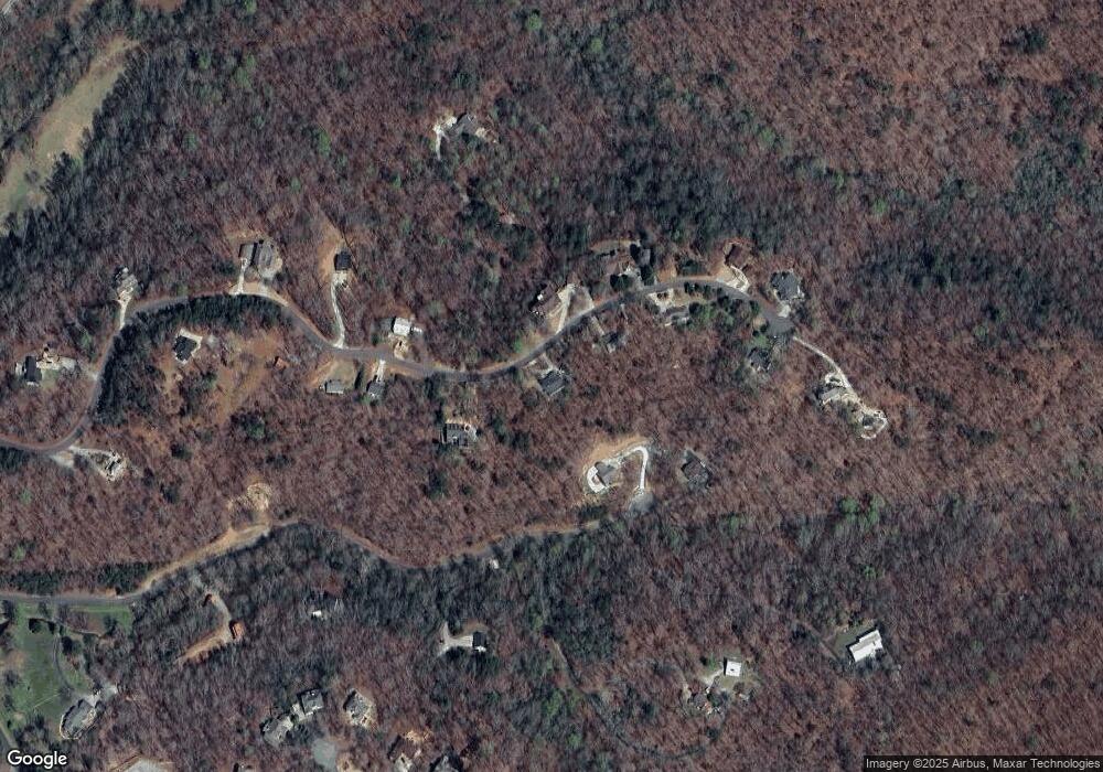
Map
Nearby Homes
- 668 Gold Cove Dr
- 0 Gold View Dr
- 0 Gold Crest Dr Unit 7623108
- 0 Gold Crest Dr Unit 10373986
- 201 Perkins Rd
- 205 Perkins Rd
- 245 Perkins Rd
- 2041 Long Branch Rd
- 2041 Long Branch Rd Unit TRACT 2A
- 72 Rustin Ridge Unit 276
- 58 Rustin Ridge Unit 278
- 42 Rustin Ridge Unit 285
- 85 Waterloo Dr
- 1376 Robinson Rd
- 0 Stamp Mill Dr
- 133 Stamp Mill Dr
- 1364 Birch River Dr
- 238 Sunrise Trail
- 1259 Birch River Dr
- 134 Prospector Ridge
- 506 Gold Crest Dr
- 422 Gold Crest Dr
- 495 Gold Crest Dr
- 538 Gold Crest Dr
- 529 Gold Crest Dr
- Lot 6 Gold Crest Dr
- 668 Gold Cove Dr Unit 29
- 403 Gold Crest Dr
- 590 Gold Crest Dr
- LOT 23 Gold Crest Dr
- LOT 5 Gold Crest Dr
- 360 Gold Crest Dr
- 575 Gold Crest Dr
- 581 Gold Crest Dr
- 538 Gold Cove Dr
- 596 Gold Crest Dr
- 332 Gold Crest Dr
- 421 Gold Crest Dr
- Lot 2 Gold Cove Dr
- Lot 6 Gold Cove Dr