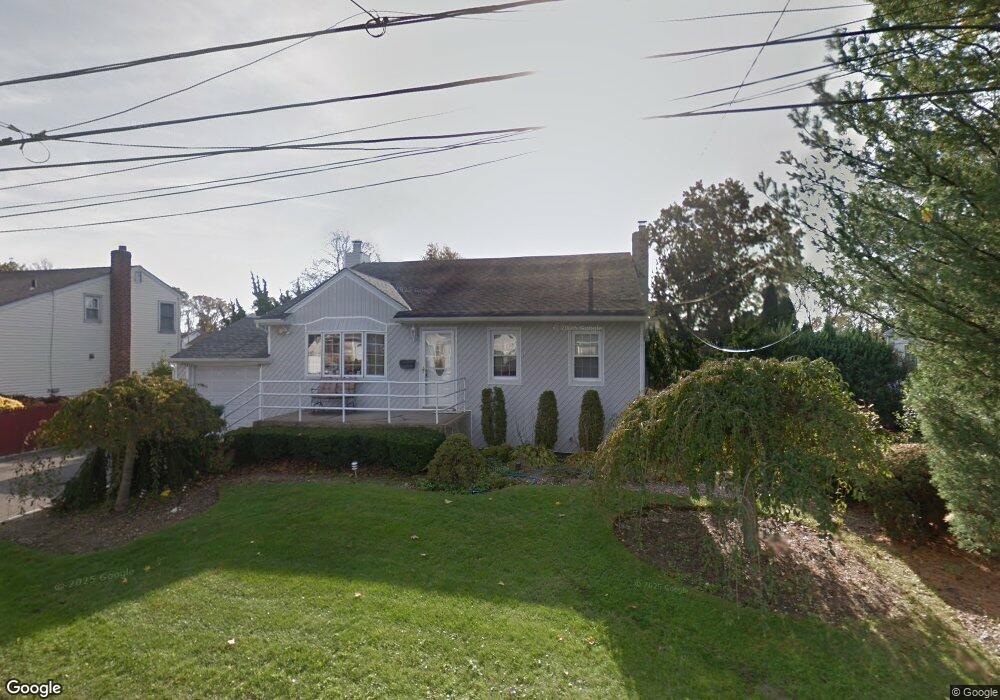
464 Heathcote Rd Lindenhurst, NY 11757
Estimated Value: $565,789 - $719,000
--
Bed
1
Bath
1,706
Sq Ft
$389/Sq Ft
Est. Value
About This Home
This home is located at 464 Heathcote Rd, Lindenhurst, NY 11757 and is currently estimated at $664,197, approximately $389 per square foot. 464 Heathcote Rd is a home located in Suffolk County with nearby schools including William Rall School, Lindenhurst Middle School, and Lindenhurst Senior High School.
Ownership History
Date
Name
Owned For
Owner Type
Purchase Details
Closed on
May 17, 2000
Sold by
Ford Monique C and Triplett Robin
Bought by
Ford Monique C
Current Estimated Value
Home Financials for this Owner
Home Financials are based on the most recent Mortgage that was taken out on this home.
Original Mortgage
$110,000
Outstanding Balance
$37,097
Interest Rate
7.81%
Estimated Equity
$627,100
Purchase Details
Closed on
Jun 29, 1999
Sold by
Annino George L and Annino Joan
Bought by
Ford Monique C and Triple Robin
Home Financials for this Owner
Home Financials are based on the most recent Mortgage that was taken out on this home.
Original Mortgage
$158,450
Interest Rate
7.39%
Mortgage Type
FHA
Create a Home Valuation Report for This Property
The Home Valuation Report is an in-depth analysis detailing your home's value as well as a comparison with similar homes in the area
Home Values in the Area
Average Home Value in this Area
Purchase History
| Date | Buyer | Sale Price | Title Company |
|---|---|---|---|
| Ford Monique C | -- | Stewart Title Insurance Co | |
| Ford Monique C | $165,000 | Stewart Title Insurance Co |
Source: Public Records
Mortgage History
| Date | Status | Borrower | Loan Amount |
|---|---|---|---|
| Open | Ford Monique C | $110,000 | |
| Closed | Ford Monique C | $158,450 |
Source: Public Records
Tax History Compared to Growth
Tax History
| Year | Tax Paid | Tax Assessment Tax Assessment Total Assessment is a certain percentage of the fair market value that is determined by local assessors to be the total taxable value of land and additions on the property. | Land | Improvement |
|---|---|---|---|---|
| 2024 | $14,158 | $3,790 | $300 | $3,490 |
| 2023 | $14,158 | $3,790 | $300 | $3,490 |
| 2022 | $12,530 | $3,790 | $300 | $3,490 |
| 2021 | $12,530 | $3,790 | $300 | $3,490 |
| 2020 | $12,960 | $3,790 | $300 | $3,490 |
| 2019 | $12,960 | $0 | $0 | $0 |
| 2018 | $12,502 | $3,790 | $300 | $3,490 |
| 2017 | $12,502 | $3,790 | $300 | $3,490 |
| 2016 | $12,512 | $3,790 | $300 | $3,490 |
| 2015 | -- | $3,790 | $300 | $3,490 |
| 2014 | -- | $3,790 | $300 | $3,490 |
Source: Public Records
Map
Nearby Homes
- 456 Heathcote Rd
- 430 Heathcote Rd
- 1029 N Niagara Ave
- 16 Burton Place
- 156 Farmers Ave
- 165 Tremont Rd
- 45 Feustal St
- 0 Tenety Ave Unit 3461459
- 61 Kellum St Unit A and B
- 61 Kellum St Unit 61A
- 957 N Fulton Ave
- 83 Justice St
- 940 N Erie Ave
- 48 Farmers Ave
- 108 Justice St
- 702 6th St
- 10 Winchester Dr
- 847 N Clinton Ave
- 697 N Fulton Ave
- 45 Farber Dr
- 468 Heathcote Rd
- 213 Farmers Ave
- 211 Farmers Ave
- 45 Washington Dr
- 463 Heathcote Rd
- 457 Heathcote Rd
- 209 Farmers Ave
- 469 Heathcote Rd
- 219 Farmers Ave
- 453 Heathcote Rd
- 446 Heathcote Rd
- 35 Washington Dr
- 447 Heathcote Rd
- 205 Farmers Ave
- 225 Farmers Ave
- 262 Tremont Rd
- 260 Tremont Rd
- 441 Heathcote Rd
- 256 Tremont Rd
- 268 Tremont Rd