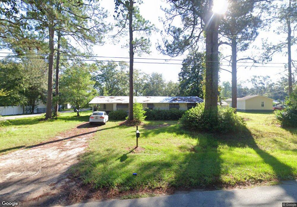
464 King St N Pearson, GA 31642
Estimated Value: $72,086 - $178,000
--
Bed
--
Bath
1,228
Sq Ft
$88/Sq Ft
Est. Value
About This Home
This home is located at 464 King St N, Pearson, GA 31642 and is currently estimated at $108,272, approximately $88 per square foot. 464 King St N is a home with nearby schools including Pearson Elementary School, Willacoochee Elementary School, and Atkinson County High School.
Ownership History
Date
Name
Owned For
Owner Type
Purchase Details
Closed on
Dec 6, 2019
Sold by
Fender Crystal Gail
Bought by
Chancey William L and Chancey Shellie O
Current Estimated Value
Home Financials for this Owner
Home Financials are based on the most recent Mortgage that was taken out on this home.
Original Mortgage
$60,000
Outstanding Balance
$23,935
Interest Rate
3.6%
Mortgage Type
Commercial
Estimated Equity
$84,337
Purchase Details
Closed on
Dec 9, 2003
Sold by
Giddens Bobby
Bought by
Fender William and Fender Crystal
Purchase Details
Closed on
Aug 29, 2001
Sold by
Giddens J B
Bought by
Giddens Bobby
Purchase Details
Closed on
Dec 11, 1963
Bought by
Giddens J B
Create a Home Valuation Report for This Property
The Home Valuation Report is an in-depth analysis detailing your home's value as well as a comparison with similar homes in the area
Home Values in the Area
Average Home Value in this Area
Purchase History
| Date | Buyer | Sale Price | Title Company |
|---|---|---|---|
| Chancey William L | $40,000 | -- | |
| Fender William | $38,000 | -- | |
| Giddens Bobby | $2,000 | -- | |
| Giddens J B | -- | -- |
Source: Public Records
Mortgage History
| Date | Status | Borrower | Loan Amount |
|---|---|---|---|
| Open | Chancey William L | $60,000 |
Source: Public Records
Tax History Compared to Growth
Tax History
| Year | Tax Paid | Tax Assessment Tax Assessment Total Assessment is a certain percentage of the fair market value that is determined by local assessors to be the total taxable value of land and additions on the property. | Land | Improvement |
|---|---|---|---|---|
| 2024 | $570 | $13,381 | $2,707 | $10,674 |
| 2023 | $409 | $13,381 | $2,707 | $10,674 |
| 2022 | $407 | $13,381 | $2,707 | $10,674 |
| 2021 | $430 | $13,381 | $2,707 | $10,674 |
| 2020 | $430 | $13,381 | $2,707 | $10,674 |
| 2019 | $366 | $13,381 | $2,707 | $10,674 |
| 2018 | $593 | $13,381 | $2,707 | $10,674 |
| 2017 | $366 | $13,381 | $2,707 | $10,674 |
| 2016 | $366 | $13,381 | $2,707 | $10,674 |
| 2015 | -- | $13,380 | $2,707 | $10,674 |
| 2014 | -- | $13,381 | $2,707 | $10,674 |
Source: Public Records
Map
Nearby Homes
- 00 Us-441 S
- 0 Honeysuckle Ln Unit 10623320
- 00 Cogdell Hwy
- 110 Shortrun Ln
- 684 Columbus Rd
- Tbd Lazy Nine Rd
- 35 Fawn Ln
- 53 Apple Blossom Rd
- N/A Fernwood Dr
- 76 Bocage Dr
- 6923 Willacoochee Hwy
- 00 Harvey Vickers Rd
- 166 Tempa Ln
- 104 Tempa Ln
- 380 Brookewood Dr
- 00 Branch Farm Rd
- 1635 Logan Dr
- 70 Angie Dr
- 2828 Baymeadows Dr W
- 2987 Baymeadows Dr W