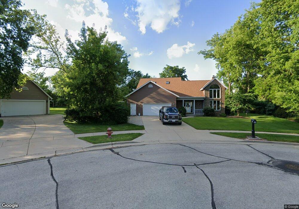
464 Leanore Ct Pewaukee, WI 53072
Estimated Value: $406,000 - $546,000
Studio
--
Bath
--
Sq Ft
30,928
Sq Ft Lot
About This Home
This home is located at 464 Leanore Ct, Pewaukee, WI 53072 and is currently estimated at $495,907. 464 Leanore Ct is a home located in Waukesha County with nearby schools including Pewaukee Lake Elementary School, Asa Clark Middle School, and Pewaukee High School.
Ownership History
Date
Name
Owned For
Owner Type
Purchase Details
Closed on
May 11, 2001
Sold by
Teramoto Michael H and Teramoto Tristen S
Bought by
Hollrith Joel R and Hollrith Tonya J
Current Estimated Value
Home Financials for this Owner
Home Financials are based on the most recent Mortgage that was taken out on this home.
Original Mortgage
$200,400
Interest Rate
6.99%
Mortgage Type
Purchase Money Mortgage
Purchase Details
Closed on
Apr 30, 1998
Sold by
Stewart Russel L and Stewart Charlene
Bought by
Teramoto Michael H and Teramoto Tristen S
Home Financials for this Owner
Home Financials are based on the most recent Mortgage that was taken out on this home.
Original Mortgage
$163,500
Interest Rate
7.2%
Mortgage Type
Purchase Money Mortgage
Create a Home Valuation Report for This Property
The Home Valuation Report is an in-depth analysis detailing your home's value as well as a comparison with similar homes in the area
Home Values in the Area
Average Home Value in this Area
Purchase History
| Date | Buyer | Sale Price | Title Company |
|---|---|---|---|
| Hollrith Joel R | $263,000 | -- | |
| Teramoto Michael H | $223,500 | -- |
Source: Public Records
Mortgage History
| Date | Status | Borrower | Loan Amount |
|---|---|---|---|
| Previous Owner | Hollrith Joel R | $200,400 | |
| Previous Owner | Teramoto Michael H | $163,500 |
Source: Public Records
Tax History
| Year | Tax Paid | Tax Assessment Tax Assessment Total Assessment is a certain percentage of the fair market value that is determined by local assessors to be the total taxable value of land and additions on the property. | Land | Improvement |
|---|---|---|---|---|
| 2024 | $5,605 | $514,600 | $77,000 | $437,600 |
| 2023 | $5,227 | $423,200 | $69,500 | $353,700 |
| 2022 | $5,606 | $423,200 | $69,500 | $353,700 |
| 2021 | $5,808 | $409,100 | $62,500 | $346,600 |
| 2020 | $6,307 | $409,100 | $62,500 | $346,600 |
| 2019 | $6,069 | $409,100 | $62,500 | $346,600 |
Source: Public Records
Map
Nearby Homes
- W226N1933 Cedar Court Ct Unit 202
- W226N2020 Cedar Lane Ln Unit 1002
- W226N2020 Cedar Lane Ln Unit 1004
- W226N2020 Cedar Lane Ln Unit 1001
- W226N2020 Cedar Lane Ln Unit 1003
- 231 Prospect Ave
- 809 Ridgeway Dr
- 127 Clark St
- 100 Main St Unit 204
- 132 Caldwell St
- 130 W Wisconsin Ave Unit 23
- N28W25285 Madeline Blvd Unit A Bldg 14 Unit 52
- 1106 Oxbow Ct
- 131 Maple Ave
- 1013 Waterstone Ct
- 1044 Waterstone Ct
- N28W25285 Parkway Ridge Cir Unit C
- 321 Park Hill Dr Unit E
- 219 Westfield Way
- 360 Park Hill Dr Unit C
Your Personal Tour Guide
Ask me questions while you tour the home.