4640 Highway 73 E Concord, NC 28025
Estimated Value: $339,284 - $388,000
3
Beds
2
Baths
1,892
Sq Ft
$192/Sq Ft
Est. Value
About This Home
This home is located at 4640 Highway 73 E, Concord, NC 28025 and is currently estimated at $363,071, approximately $191 per square foot. 4640 Highway 73 E is a home located in Cabarrus County with nearby schools including W.M. Irvin Elementary School, Mount Pleasant Middle School, and Mount Pleasant High School.
Ownership History
Date
Name
Owned For
Owner Type
Purchase Details
Closed on
Sep 30, 2016
Sold by
Lana B Barbee
Bought by
Shinn Debra
Current Estimated Value
Home Financials for this Owner
Home Financials are based on the most recent Mortgage that was taken out on this home.
Original Mortgage
$172,647
Outstanding Balance
$138,233
Interest Rate
3.42%
Estimated Equity
$224,838
Create a Home Valuation Report for This Property
The Home Valuation Report is an in-depth analysis detailing your home's value as well as a comparison with similar homes in the area
Home Values in the Area
Average Home Value in this Area
Purchase History
| Date | Buyer | Sale Price | Title Company |
|---|---|---|---|
| Shinn Debra | -- | -- |
Source: Public Records
Mortgage History
| Date | Status | Borrower | Loan Amount |
|---|---|---|---|
| Open | Shinn Debra | $172,647 | |
| Closed | Shinn Debra | -- | |
| Previous Owner | Shinn Debra | $129,000 | |
| Previous Owner | Shinn Debra | $60,000 |
Source: Public Records
Tax History
| Year | Tax Paid | Tax Assessment Tax Assessment Total Assessment is a certain percentage of the fair market value that is determined by local assessors to be the total taxable value of land and additions on the property. | Land | Improvement |
|---|---|---|---|---|
| 2025 | $790 | $240,130 | $39,090 | $201,040 |
| 2024 | $790 | $240,130 | $39,090 | $201,040 |
| 2023 | $670 | $162,980 | $25,720 | $137,260 |
| 2022 | $670 | $162,980 | $25,720 | $137,260 |
| 2021 | $670 | $162,980 | $25,720 | $137,260 |
| 2020 | $654 | $162,980 | $25,720 | $137,260 |
| 2019 | $576 | $143,620 | $21,600 | $122,020 |
| 2018 | $562 | $143,620 | $21,600 | $122,020 |
| 2017 | $547 | $143,620 | $21,600 | $122,020 |
| 2016 | $547 | $137,180 | $22,630 | $114,550 |
| 2015 | $523 | $137,180 | $22,630 | $114,550 |
| 2014 | $523 | $137,180 | $22,630 | $114,550 |
Source: Public Records
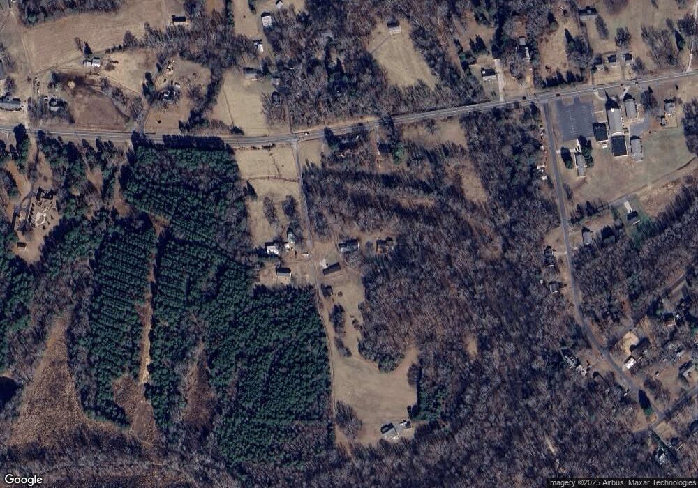
Map
Nearby Homes
- 4165 Laurelwood Ct
- 5543 Arnold Way
- 13 Wendall Ln
- 21 Wendall Ln
- 5423 Arnold Way
- 5411 Arnold Way
- 16 Wendall Ln
- 24 Wendall Ln
- 143 Kirkwood Dr
- 1223 Walker Rd
- 1930 Cold Springs Rd
- 1695 Lemming Dr
- 348 Pleasant View Ln SE
- 858 Oak Manor Dr SE
- 1787 Saint Johns Church Rd
- 1660 Songwood Rd
- 6823 Glen Abbey Ln
- 1232 Long Farm Ln
- 797 Oak Manor Dr SE
- 6853 Glen Abbey Ln Unit 8
- 4660 Highway 73 E
- 4602 Highway 73 E
- 4630 Highway 73 E
- 4700 Highway 73 E
- 4692 Nc Hwy 73 E
- 4744 Highway 73 E
- 4746 Nc-73
- 4722 N Carolina 73
- 4722 Highway 73 E
- 4722 Nc Hwy 73 E
- 4722 Nc Hwy 73 E Unit 4722
- 4722 Nc Hwy 73 E Unit 4744
- 4744 N Carolina 73 Unit 4744
- 4724 Highway 73 E
- 4746 Highway 73 E
- 4800 Highway 73 E
- 4601 Highway 73 E
- 4725 Highway 73 E
- 4650 Highway 73 E
- 250 Swaringen Dr
Your Personal Tour Guide
Ask me questions while you tour the home.