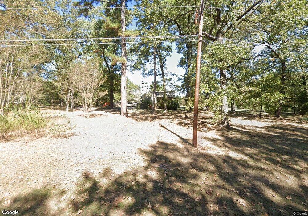
4640 Kent Rd Shreveport, LA 71107
Estimated Value: $164,489 - $396,000
3
Beds
1
Bath
1,396
Sq Ft
$169/Sq Ft
Est. Value
About This Home
This home is located at 4640 Kent Rd, Shreveport, LA 71107 and is currently estimated at $236,122, approximately $169 per square foot. 4640 Kent Rd is a home located in Caddo Parish with nearby schools including Blanchard Elementary School, Judson Fundamental Elementary School, and Fairfield Magnet School.
Ownership History
Date
Name
Owned For
Owner Type
Purchase Details
Closed on
Jan 18, 2011
Sold by
Bolton Theresa Ellen Price and Bolton Les
Bought by
Chiasson Wanda C and Chiasson Malcolm R
Current Estimated Value
Home Financials for this Owner
Home Financials are based on the most recent Mortgage that was taken out on this home.
Original Mortgage
$136,451
Outstanding Balance
$92,044
Interest Rate
4.56%
Mortgage Type
FHA
Estimated Equity
$144,078
Purchase Details
Closed on
Aug 31, 2005
Sold by
Gamble Denny E
Bought by
Price Theresa Ellen
Home Financials for this Owner
Home Financials are based on the most recent Mortgage that was taken out on this home.
Original Mortgage
$85,600
Interest Rate
5.8%
Mortgage Type
New Conventional
Create a Home Valuation Report for This Property
The Home Valuation Report is an in-depth analysis detailing your home's value as well as a comparison with similar homes in the area
Home Values in the Area
Average Home Value in this Area
Purchase History
| Date | Buyer | Sale Price | Title Company |
|---|---|---|---|
| Chiasson Wanda C | $140,000 | None Available | |
| Price Theresa Ellen | $107,000 | None Available |
Source: Public Records
Mortgage History
| Date | Status | Borrower | Loan Amount |
|---|---|---|---|
| Open | Chiasson Wanda C | $136,451 | |
| Previous Owner | Price Theresa Ellen | $85,600 |
Source: Public Records
Tax History Compared to Growth
Tax History
| Year | Tax Paid | Tax Assessment Tax Assessment Total Assessment is a certain percentage of the fair market value that is determined by local assessors to be the total taxable value of land and additions on the property. | Land | Improvement |
|---|---|---|---|---|
| 2024 | $1,759 | $11,761 | $556 | $11,205 |
| 2023 | $1,674 | $10,859 | $536 | $10,323 |
| 2022 | $1,674 | $10,859 | $536 | $10,323 |
| 2021 | $1,675 | $10,859 | $536 | $10,323 |
| 2020 | $1,675 | $10,859 | $536 | $10,323 |
| 2019 | $1,566 | $10,222 | $536 | $9,686 |
| 2018 | $472 | $10,222 | $536 | $9,686 |
| 2017 | $1,563 | $10,222 | $536 | $9,686 |
| 2015 | $430 | $9,810 | $530 | $9,280 |
| 2014 | $433 | $9,810 | $530 | $9,280 |
| 2013 | -- | $9,810 | $530 | $9,280 |
Source: Public Records
Map
Nearby Homes
- 4687 Kent Rd
- 6095 Pine Hill Rd
- 1042 N Lane Dr
- 6899 White Tail Ln
- 8308 Creekdale St
- 0 Northport Blvd Unit 21100070
- 5244 N Market St
- 0 Cambridge Cir
- 5555 Old Mooringsport Rd
- 6105 Shadow Wood Dr
- TBD Northwood Rd S
- 5196 Cadabra Dr
- Nolana IV A Plan at Falcon Bay
- Orchid III B Plan at Falcon Bay
- 0 Old Mooringsport Rd Unit 20925430
- Dogwood IV A Plan at Falcon Bay
- Hickory III A Plan at Falcon Bay
- Irises V B Plan at Falcon Bay
- Irises V A Plan at Falcon Bay
- Violet IV A Plan at Falcon Bay