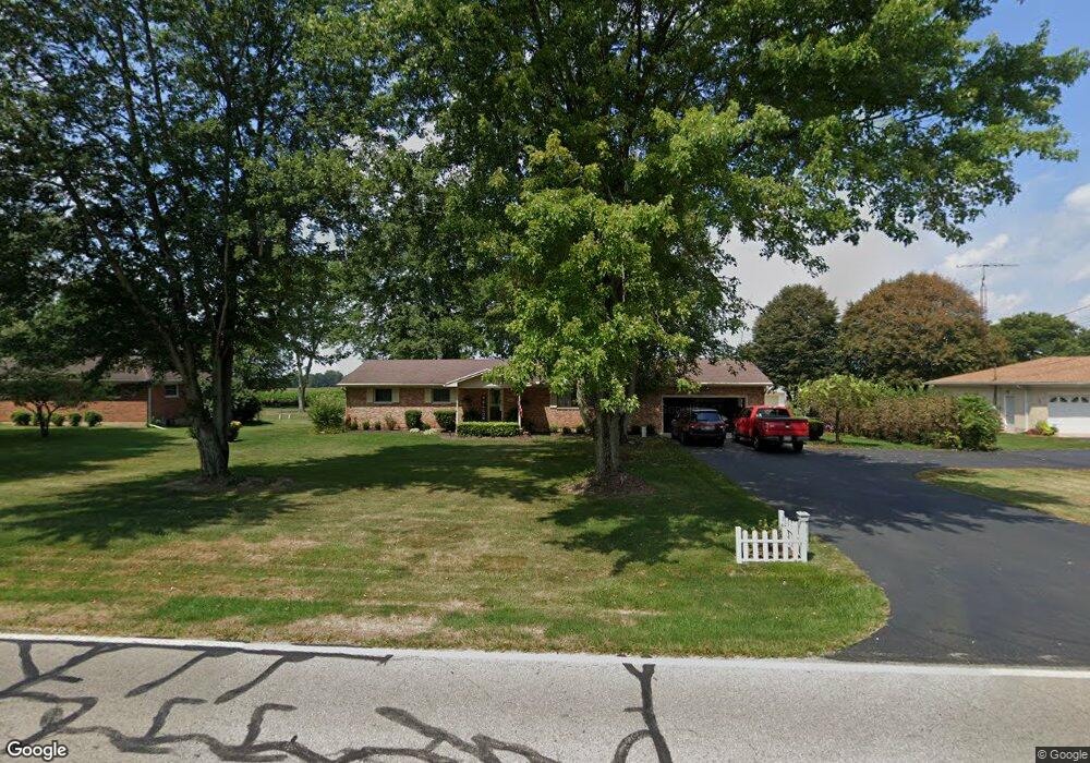
4641 Bosart Rd Springfield, OH 45503
Estimated Value: $279,494 - $298,000
3
Beds
2
Baths
1,708
Sq Ft
$171/Sq Ft
Est. Value
About This Home
This home is located at 4641 Bosart Rd, Springfield, OH 45503 and is currently estimated at $291,874, approximately $170 per square foot. 4641 Bosart Rd is a home located in Clark County with nearby schools including Rolling Hills Elementary School, Northridge Middle School, and Kenton Ridge Middle & High School.
Ownership History
Date
Name
Owned For
Owner Type
Purchase Details
Closed on
May 14, 2021
Sold by
Flax John L and Flax Marcia G
Bought by
Massie Brooke
Current Estimated Value
Home Financials for this Owner
Home Financials are based on the most recent Mortgage that was taken out on this home.
Original Mortgage
$201,286
Outstanding Balance
$182,415
Interest Rate
3.1%
Mortgage Type
FHA
Estimated Equity
$109,459
Purchase Details
Closed on
Oct 27, 1994
Sold by
Smith Jerry D
Bought by
Flax John L and Flax Marcia
Home Financials for this Owner
Home Financials are based on the most recent Mortgage that was taken out on this home.
Original Mortgage
$96,300
Interest Rate
8.68%
Mortgage Type
New Conventional
Purchase Details
Closed on
May 1, 1984
Create a Home Valuation Report for This Property
The Home Valuation Report is an in-depth analysis detailing your home's value as well as a comparison with similar homes in the area
Home Values in the Area
Average Home Value in this Area
Purchase History
| Date | Buyer | Sale Price | Title Company |
|---|---|---|---|
| Massie Brooke | $205,000 | Chicago Title | |
| Flax John L | $107,000 | -- | |
| -- | $62,000 | -- |
Source: Public Records
Mortgage History
| Date | Status | Borrower | Loan Amount |
|---|---|---|---|
| Open | Massie Brooke | $201,286 | |
| Previous Owner | Flax John L | $96,300 |
Source: Public Records
Tax History Compared to Growth
Tax History
| Year | Tax Paid | Tax Assessment Tax Assessment Total Assessment is a certain percentage of the fair market value that is determined by local assessors to be the total taxable value of land and additions on the property. | Land | Improvement |
|---|---|---|---|---|
| 2024 | $2,692 | $63,650 | $14,650 | $49,000 |
| 2023 | $2,692 | $63,650 | $14,650 | $49,000 |
| 2022 | $2,702 | $63,650 | $14,650 | $49,000 |
| 2021 | $2,791 | $55,730 | $12,110 | $43,620 |
| 2020 | $2,794 | $55,730 | $12,110 | $43,620 |
| 2019 | $2,847 | $55,730 | $12,110 | $43,620 |
| 2018 | $2,694 | $50,630 | $11,140 | $39,490 |
| 2017 | $2,309 | $55,917 | $11,141 | $44,776 |
| 2016 | $2,293 | $55,917 | $11,141 | $44,776 |
| 2015 | $2,498 | $56,883 | $12,107 | $44,776 |
| 2014 | $2,498 | $56,883 | $12,107 | $44,776 |
| 2013 | $2,440 | $56,883 | $12,107 | $44,776 |
Source: Public Records
Map
Nearby Homes
- 4644 Middle Urbana Rd
- 4849 Ashley Dr
- 4321 Tulane Rd
- 4249 Reno Rd
- 3963 Covington Dr Unit 3963
- 4740 Merrimont Ave
- 1709 Thomas Dr
- 4438 Tacoma St
- 4512 Ridgewood Rd E
- 4446 Ridgewood Rd E Unit 3
- 1640 Montego Dr
- 4050 Tacoma St
- 5220 Ridgewood Rd E
- 5127 Stoneridge Dr
- 1461 Student Ave
- 3452 Bosart Rd
- 4622 W Ridgewood Rd