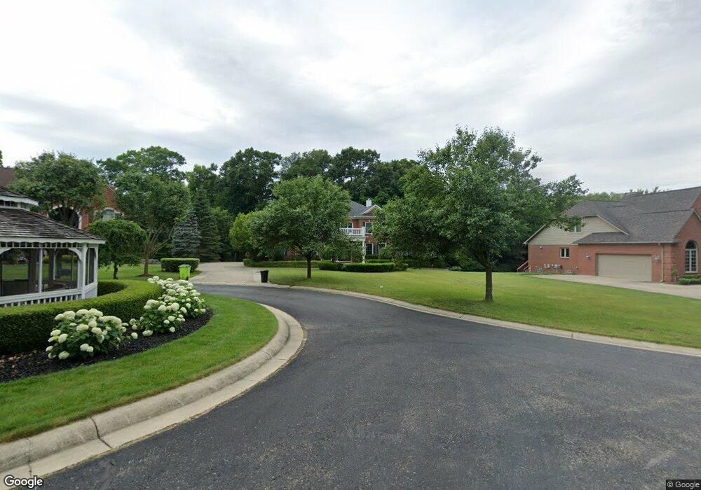
4642 Azzo Ct West Bloomfield, MI 48323
Estimated Value: $724,000 - $891,000
4
Beds
4
Baths
3,645
Sq Ft
$230/Sq Ft
Est. Value
About This Home
This home is located at 4642 Azzo Ct, West Bloomfield, MI 48323 and is currently estimated at $836,803, approximately $229 per square foot. 4642 Azzo Ct is a home located in Oakland County with nearby schools including Walled Lake Central High School, The Susan And Rabbi Harold Loss Ecc, and Brookfield Academy - West Bloomfield.
Ownership History
Date
Name
Owned For
Owner Type
Purchase Details
Closed on
Jun 21, 2007
Sold by
Ruscitti Pasquale and Ruscitti Jaclyn
Bought by
Pezzullo Antonio C and Schwartz Joni B
Current Estimated Value
Home Financials for this Owner
Home Financials are based on the most recent Mortgage that was taken out on this home.
Original Mortgage
$208,670
Outstanding Balance
$130,148
Interest Rate
6.37%
Mortgage Type
Credit Line Revolving
Estimated Equity
$706,655
Purchase Details
Closed on
Jun 12, 2001
Sold by
Azzo Ronald
Bought by
Ruscuitti Pasquale
Create a Home Valuation Report for This Property
The Home Valuation Report is an in-depth analysis detailing your home's value as well as a comparison with similar homes in the area
Home Values in the Area
Average Home Value in this Area
Purchase History
| Date | Buyer | Sale Price | Title Company |
|---|---|---|---|
| Pezzullo Antonio C | $658,600 | Alpha Title Agency Inc | |
| Ruscuitti Pasquale | -- | -- |
Source: Public Records
Mortgage History
| Date | Status | Borrower | Loan Amount |
|---|---|---|---|
| Open | Pezzullo Antonio C | $208,670 | |
| Previous Owner | Pezzullo Antonio C | $417,000 |
Source: Public Records
Tax History Compared to Growth
Tax History
| Year | Tax Paid | Tax Assessment Tax Assessment Total Assessment is a certain percentage of the fair market value that is determined by local assessors to be the total taxable value of land and additions on the property. | Land | Improvement |
|---|---|---|---|---|
| 2024 | $4,961 | $311,080 | $0 | $0 |
| 2022 | $4,677 | $291,590 | $50,310 | $241,280 |
| 2021 | $7,691 | $280,220 | $0 | $0 |
| 2020 | $4,851 | $256,890 | $50,310 | $206,580 |
| 2018 | $7,486 | $234,580 | $50,310 | $184,270 |
| 2015 | -- | $216,590 | $0 | $0 |
| 2014 | -- | $204,510 | $0 | $0 |
| 2011 | -- | $197,710 | $0 | $0 |
Source: Public Records
Map
Nearby Homes
- 4540 Rolling Pine Ct
- 6980 Hambro St
- 4442 Borland St
- 4335 Crestdale Ave
- 6675 Langtoft St
- 0000 Langtoft
- 4066 Green Lake Rd
- 5994 Glen Eagles Dr
- 7065 Deerwood Trail Unit 27
- 6978 Colony Dr
- 4245 Bunker Ave
- 3991 Fieldview Ave
- 3965 Carrick Ave
- 7545/7585 Pontiac Trail
- 7585/7548 Pontiac Trail
- 6140 Pontiac Trail
- 000 Pontiac Trail
- 6100 Pontiac Trail
- 4212 Greendale Ave
- 3950 Bradmore Ave
- 4630 Azzo Ct
- 4656 Azzo Ct
- 4668 Azzo Ct
- 6810 Heron Point Unit 10
- 6810 Heron Point
- 4734 Seagull Way
- 0 Borland St Unit 5603641
- 6820 Heron Point
- 6820 Heron Pnt
- 4746 Seagull Way Unit 63
- 6830 Heron Point
- 4599 Borland St
- 4758 Seagull Way
- 6805 Heron Point
- 6550 Heron Point
- 6795 Heron Point Unit 51
- 6700 Pontiac Trail
- 6785 Heron Point
- 6775 Heron Point
- 6775 Heron Point Unit PNT