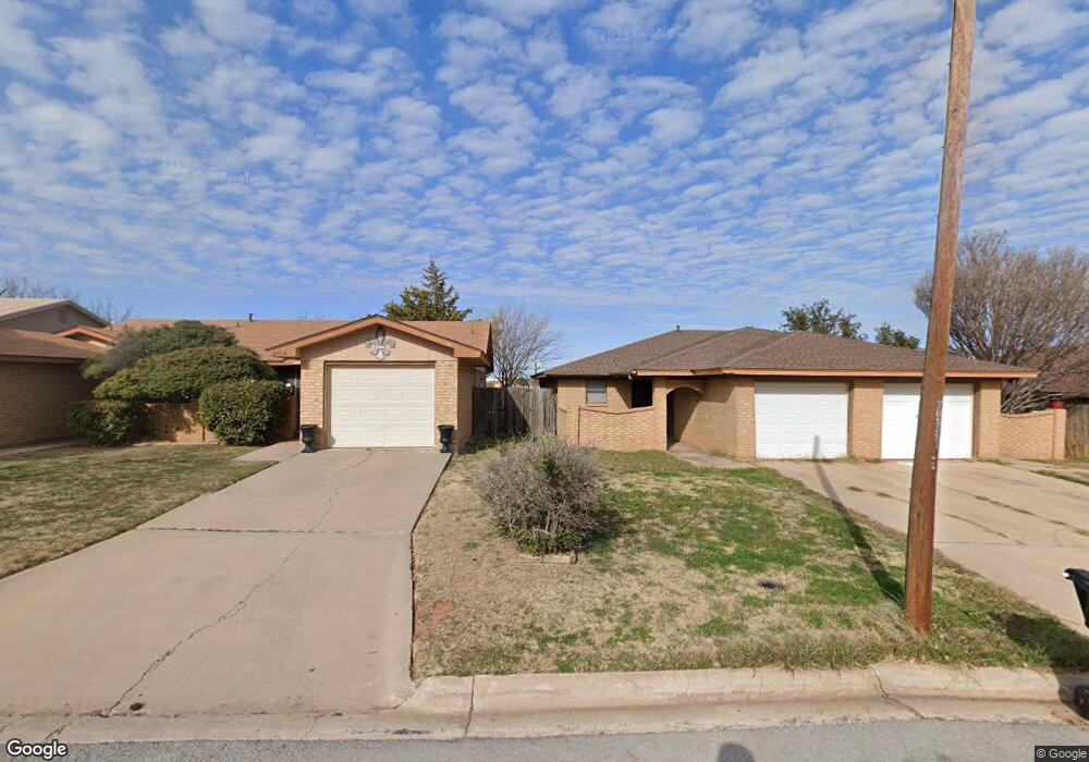
4642 Marlboro Dr Abilene, TX 79606
Far Southside NeighborhoodEstimated Value: $129,161 - $222,000
4
Beds
4
Baths
1,014
Sq Ft
$187/Sq Ft
Est. Value
About This Home
This home is located at 4642 Marlboro Dr, Abilene, TX 79606 and is currently estimated at $190,040, approximately $187 per square foot. 4642 Marlboro Dr is a home located in Taylor County with nearby schools including Wylie West Early Childhood Center, Wylie West Intermediate School, and Wylie West Elementary School.
Ownership History
Date
Name
Owned For
Owner Type
Purchase Details
Closed on
Jun 2, 2017
Sold by
Roth Steven M and Roth Marla K
Bought by
Crump Cameron Tyler and Crump Melody Jo
Current Estimated Value
Home Financials for this Owner
Home Financials are based on the most recent Mortgage that was taken out on this home.
Original Mortgage
$164,957
Outstanding Balance
$137,584
Interest Rate
4.12%
Mortgage Type
FHA
Estimated Equity
$52,456
Create a Home Valuation Report for This Property
The Home Valuation Report is an in-depth analysis detailing your home's value as well as a comparison with similar homes in the area
Home Values in the Area
Average Home Value in this Area
Purchase History
| Date | Buyer | Sale Price | Title Company |
|---|---|---|---|
| Crump Cameron Tyler | $164,597 | None Available |
Source: Public Records
Mortgage History
| Date | Status | Borrower | Loan Amount |
|---|---|---|---|
| Open | Crump Cameron Tyler | $164,957 |
Source: Public Records
Tax History Compared to Growth
Tax History
| Year | Tax Paid | Tax Assessment Tax Assessment Total Assessment is a certain percentage of the fair market value that is determined by local assessors to be the total taxable value of land and additions on the property. | Land | Improvement |
|---|---|---|---|---|
| 2025 | $2,438 | $101,615 | $10,742 | $90,873 |
| 2023 | $2,438 | $96,582 | $6,347 | $90,235 |
| 2022 | $2,086 | $88,387 | $6,347 | $82,040 |
| 2021 | $2,090 | $81,122 | $6,347 | $74,775 |
| 2020 | $2,045 | $78,074 | $6,347 | $71,727 |
| 2019 | $2,023 | $74,867 | $5,859 | $69,008 |
| 2018 | $1,842 | $73,594 | $5,859 | $67,735 |
| 2017 | $1,665 | $69,025 | $5,859 | $63,166 |
| 2016 | $1,269 | $52,621 | $5,859 | $46,762 |
| 2015 | $1,155 | $51,903 | $5,859 | $46,044 |
| 2014 | $1,155 | $51,437 | $0 | $0 |
Source: Public Records
Map
Nearby Homes
- 7710 John Carroll Dr
- 5001 Buffalo Gap Rd
- 4634 Beall Blvd
- 4833 Meadow Dr
- 6642 Buffalo Gap Rd
- 5002 Meadow Dr
- 5114 Rossland Rd
- 7501 White Blvd
- 3809 Mark Ct
- 7118 Sable Cir
- 5084 Fernie St
- 7801 Old Forrest Hill Rd
- 5114 Fernie St
- 7018 Springwater Ave
- 8073 Bonnie Cir
- 7967 Bonnie Cir
- 6509 Randy Ave
- 6890 Buffalo Gap Rd
- 7705 Randy Ave
- 4410 Sierra Sunset
- 4650 Marlboro Dr
- 4634 Marlboro Dr
- 4658 Marlboro Dr
- 4626 Marlboro Dr
- 4666 Marlboro Dr
- 4618 Marlboro Dr
- 4674 Marlboro Dr
- 4682 Marlboro Dr
- 4566 Cole Dr
- 4602 Marlboro Dr
- 4657 Marlboro Dr
- 4641 Marlboro Dr
- 4633 Marlboro Dr
- 4673 Marlboro Dr
- 4690 Marlboro Dr
- 4702 Marlboro Dr
- 4558 Cole Dr
- 4625 Marlboro Dr
- 4710 Marlboro Dr
- 4617 Marlboro Dr