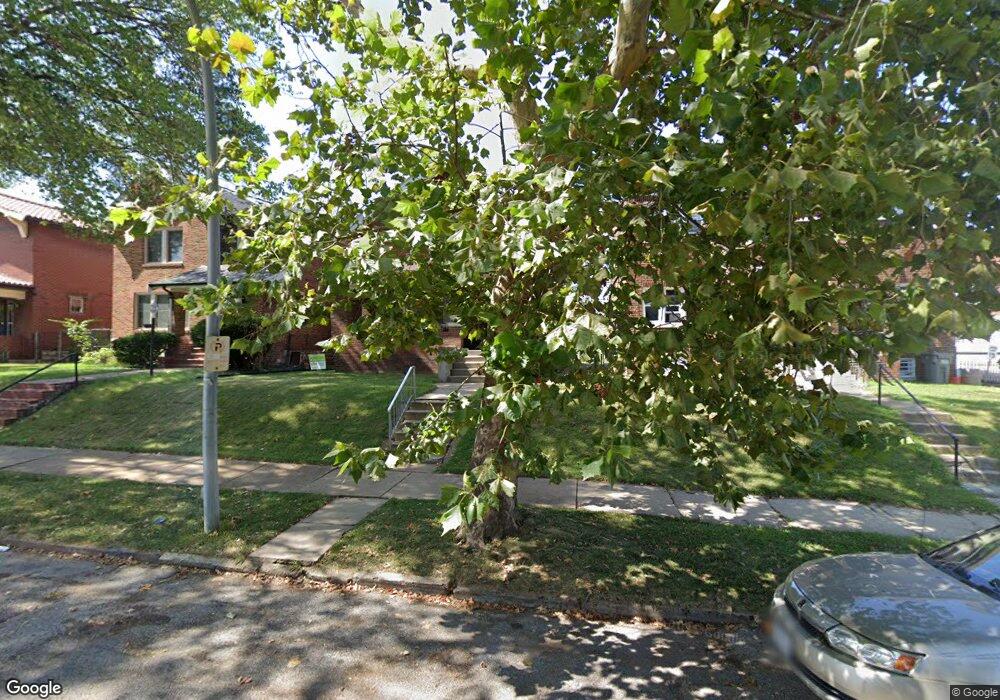
4643 Carrie Ave Saint Louis, MO 63115
Penrose NeighborhoodEstimated Value: $59,606 - $110,000
--
Bed
1
Bath
2,624
Sq Ft
$33/Sq Ft
Est. Value
About This Home
This home is located at 4643 Carrie Ave, Saint Louis, MO 63115 and is currently estimated at $86,652, approximately $33 per square foot. 4643 Carrie Ave is a home located in St. Louis City with nearby schools including Hickey Elementary School, Yeatman-Liddell Middle School, and Vashon High School.
Ownership History
Date
Name
Owned For
Owner Type
Purchase Details
Closed on
Nov 17, 2020
Sold by
Casey Glenn A
Bought by
Casey Ladonna F
Current Estimated Value
Purchase Details
Closed on
Sep 27, 2013
Sold by
Casey Christine Strong
Bought by
Casey Glenn A
Purchase Details
Closed on
Jul 20, 2011
Sold by
Casey Harry C
Bought by
Casey Christine S
Purchase Details
Closed on
Dec 9, 1998
Sold by
Clark Christine S and Clark Christine S
Bought by
Casey Harry C and Casey Christine S
Create a Home Valuation Report for This Property
The Home Valuation Report is an in-depth analysis detailing your home's value as well as a comparison with similar homes in the area
Home Values in the Area
Average Home Value in this Area
Purchase History
| Date | Buyer | Sale Price | Title Company |
|---|---|---|---|
| Casey Ladonna F | -- | None Available | |
| Casey Glenn A | -- | None Available | |
| Casey Christine S | -- | None Available | |
| Casey Harry C | -- | -- |
Source: Public Records
Tax History Compared to Growth
Tax History
| Year | Tax Paid | Tax Assessment Tax Assessment Total Assessment is a certain percentage of the fair market value that is determined by local assessors to be the total taxable value of land and additions on the property. | Land | Improvement |
|---|---|---|---|---|
| 2025 | $474 | $5,520 | $610 | $4,910 |
| 2024 | $452 | $5,330 | $610 | $4,720 |
| 2023 | $452 | $5,330 | $610 | $4,720 |
| 2022 | $461 | $5,240 | $610 | $4,630 |
| 2021 | $461 | $5,240 | $610 | $4,630 |
| 2020 | $457 | $5,240 | $610 | $4,630 |
| 2019 | $456 | $5,250 | $610 | $4,640 |
| 2018 | $437 | $4,870 | $610 | $4,260 |
| 2017 | $430 | $4,860 | $610 | $4,260 |
| 2016 | $463 | $5,190 | $1,140 | $4,050 |
| 2015 | $422 | $5,190 | $1,140 | $4,050 |
| 2014 | $420 | $5,190 | $1,140 | $4,050 |
| 2013 | -- | $5,170 | $1,140 | $4,030 |
Source: Public Records
Map
Nearby Homes
- 4648 Pope Ave
- 4610 Pope Ave
- 4608 Pope Ave
- 4537 Clarence Ave
- 4535 Holly Ave
- 4454 Holly Ave
- 4450 Holly Ave
- 4419 Holly Ave
- 4402 Clarence Ave
- 4680 W Florissant Ave
- 4418 Dryden Ave
- 4627 Korte Ave
- 4253 Holly Ave
- 4449 Anderson Ave
- 4237 Holly Ave
- 4556 Carter Ave
- 4210 E Carter Ave
- 4246 N Taylor Ave
- 4477 Bessie Ave
- 4219 Red Bud Ave
- 4647 Carrie Ave
- 4639 Carrie Ave
- 4635 Carrie Ave
- 4446 Floriss Place
- 4446 Floriss Place Unit First Floor
- 4631 Carrie Ave
- 4448 Floriss Place
- 4440 Floriss Place
- 4642 Moraine Ave
- 4640 Moraine Ave
- 4646 Moraine Ave
- 4636 Moraine Ave
- 4438 Floriss Place
- 44174419 Floriss Place
- 4627 Carrie Ave
- 4456 Floriss Place
- 4632 Moraine Ave
- 4630 Moraine Ave
- 4642 Carrie Ave
- 4640 Carrie Ave