4643 Flat Branch Rd Ellijay, GA 30540
Estimated Value: $596,000 - $1,256,604
1
Bed
3
Baths
2,841
Sq Ft
$326/Sq Ft
Est. Value
About This Home
This home is located at 4643 Flat Branch Rd, Ellijay, GA 30540 and is currently estimated at $926,302, approximately $326 per square foot. 4643 Flat Branch Rd is a home located in Gilmer County with nearby schools including Ellijay Elementary School, Clear Creek Elementary School, and Clear Creek Middle School.
Ownership History
Date
Name
Owned For
Owner Type
Purchase Details
Closed on
Dec 2, 2010
Sold by
Broady Sam P
Bought by
Broady Bonnie G
Current Estimated Value
Purchase Details
Closed on
Mar 12, 2004
Sold by
Broady Margraret D
Bought by
Broady Margraret D and Broady Sam P
Purchase Details
Closed on
Jun 17, 1977
Sold by
Kraft Land Services
Bought by
Broady Margraret D
Create a Home Valuation Report for This Property
The Home Valuation Report is an in-depth analysis detailing your home's value as well as a comparison with similar homes in the area
Home Values in the Area
Average Home Value in this Area
Purchase History
| Date | Buyer | Sale Price | Title Company |
|---|---|---|---|
| Broady Bonnie G | -- | -- | |
| Broady Margraret D | -- | -- | |
| Broady Margraret D | -- | -- |
Source: Public Records
Tax History Compared to Growth
Tax History
| Year | Tax Paid | Tax Assessment Tax Assessment Total Assessment is a certain percentage of the fair market value that is determined by local assessors to be the total taxable value of land and additions on the property. | Land | Improvement |
|---|---|---|---|---|
| 2025 | $3,728 | $524,676 | $332,560 | $192,116 |
| 2024 | $3,728 | $455,556 | $265,720 | $189,836 |
| 2023 | $3,834 | $462,236 | $272,400 | $189,836 |
| 2022 | $3,693 | $407,316 | $245,640 | $161,676 |
| 2021 | $3,298 | $318,988 | $198,960 | $120,028 |
| 2020 | $3,376 | $307,520 | $198,960 | $108,560 |
| 2019 | $3,096 | $291,920 | $198,960 | $92,960 |
| 2018 | $3,015 | $281,952 | $193,000 | $88,952 |
| 2017 | $2,670 | $260,164 | $193,000 | $67,164 |
| 2016 | $2,720 | $261,108 | $193,000 | $68,108 |
| 2015 | $2,780 | $202,488 | $128,040 | $74,448 |
| 2014 | $2,823 | $170,272 | $96,640 | $73,632 |
| 2013 | -- | $193,448 | $122,560 | $70,888 |
Source: Public Records
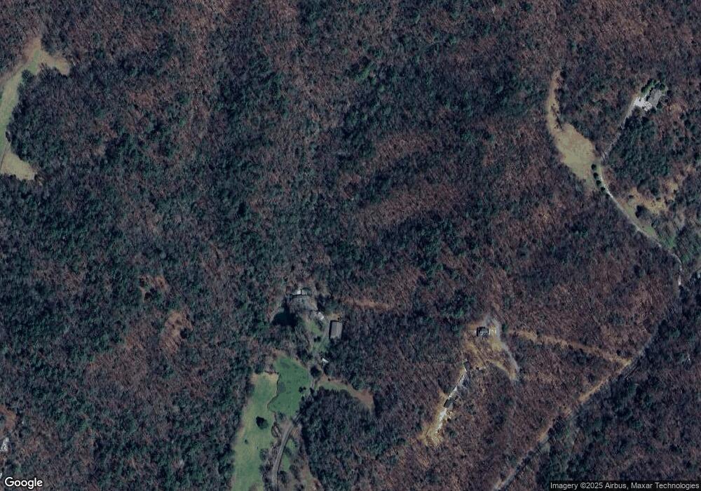
Map
Nearby Homes
- 101 Harper Valley Rd
- TR 3B Wolf Pen Gap Rd
- 88 Dale Valley Cir
- 3185 Old Flat Branch Rd
- 0 Saw Blade Ln Unit 418638
- 0 Saw Blade Ln Unit 7645556
- 0 Saw Blade Ln Unit 10599792
- 293 Scott Hollow Rd
- 289 Scott Hollow Rd
- 14 Abbott Mill Rd
- Lot 48 Abbott Mill Rd
- 00 Oceola Dr
- Lot 19 Oceola Dr
- 3691 Flagpole Rd
- 0 Oceola Dr Unit 28 10324762
- 0 Oceola Dr Unit 10566990
- 0 Trails End Summit Unit 10488729
- 0 Trails End Summit Unit 414328
- 0 Trails End Summit Unit 7549011
- Lot 32 Oceola Dr
- 4292 Flat Branch Rd
- 4979 Flat Branch Rd
- 822 Settlers Ridge Rd
- 5198 Flat Branch Rd
- 112AC Wolf Pen Gap Rd Unit Acreage
- 112AC Wolf Pen Gap Rd
- 4455 Flat Branch Rd
- 5120 Flat Branch Rd
- 4457 Flat Branch Rd
- 5255 Flat Branch Rd
- 4453 Flat Branch Rd
- 800 Wolf Pen Gap Rd
- 650 Wolf Pen Gap Rd
- 4433 Flat Branch Rd
- 284 Wolf Pen Gap Rd
- 3863 Old Flat Branch Rd
- 511 Harper Valley Rd
- 164 Woodring St
- 471 Dale Valley Cir
- 86 Harper Valley Rd