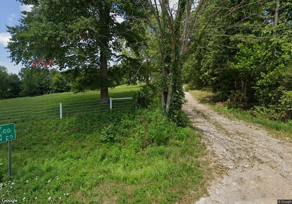
4643 Ohio 327 Londonderry, OH 45647
Estimated Value: $202,523 - $241,000
3
Beds
2
Baths
1,189
Sq Ft
$181/Sq Ft
Est. Value
About This Home
This home is located at 4643 Ohio 327, Londonderry, OH 45647 and is currently estimated at $215,381, approximately $181 per square foot. 4643 Ohio 327 is a home located in Ross County with nearby schools including Southeastern Elementary School, Southeastern Middle School, and Southeastern High School.
Ownership History
Date
Name
Owned For
Owner Type
Purchase Details
Closed on
Sep 25, 2020
Sold by
Miller Abe and Miller Laura
Bought by
Shrock Paul A and Shrock Fannie D
Current Estimated Value
Home Financials for this Owner
Home Financials are based on the most recent Mortgage that was taken out on this home.
Original Mortgage
$132,000
Outstanding Balance
$106,257
Interest Rate
2.9%
Mortgage Type
New Conventional
Estimated Equity
$109,124
Purchase Details
Closed on
Apr 28, 2011
Sold by
Clary Franklin L and Clary Carolyn K
Bought by
Miller Abe and Miller Laura M
Home Financials for this Owner
Home Financials are based on the most recent Mortgage that was taken out on this home.
Original Mortgage
$126,000
Interest Rate
4.86%
Mortgage Type
Future Advance Clause Open End Mortgage
Create a Home Valuation Report for This Property
The Home Valuation Report is an in-depth analysis detailing your home's value as well as a comparison with similar homes in the area
Home Values in the Area
Average Home Value in this Area
Purchase History
| Date | Buyer | Sale Price | Title Company |
|---|---|---|---|
| Shrock Paul A | $165,000 | None Available | |
| Miller Abe | $140,000 | Attorney |
Source: Public Records
Mortgage History
| Date | Status | Borrower | Loan Amount |
|---|---|---|---|
| Open | Shrock Paul A | $132,000 | |
| Previous Owner | Miller Abe | $126,000 |
Source: Public Records
Tax History Compared to Growth
Tax History
| Year | Tax Paid | Tax Assessment Tax Assessment Total Assessment is a certain percentage of the fair market value that is determined by local assessors to be the total taxable value of land and additions on the property. | Land | Improvement |
|---|---|---|---|---|
| 2024 | $1,314 | $39,250 | $8,060 | $31,190 |
| 2023 | $1,314 | $39,250 | $8,060 | $31,190 |
| 2022 | $1,344 | $39,250 | $8,060 | $31,190 |
| 2021 | $1,255 | $32,160 | $6,840 | $25,320 |
| 2020 | $1,265 | $32,160 | $6,840 | $25,320 |
| 2019 | $1,265 | $32,160 | $6,840 | $25,320 |
| 2018 | $1,135 | $28,400 | $6,280 | $22,120 |
| 2017 | $1,136 | $28,400 | $6,280 | $22,120 |
| 2016 | $1,108 | $28,400 | $6,280 | $22,120 |
| 2015 | $1,119 | $28,600 | $6,280 | $22,320 |
| 2014 | $1,093 | $28,600 | $6,280 | $22,320 |
| 2013 | $1,098 | $28,600 | $6,280 | $22,320 |
Source: Public Records
Map
Nearby Homes
- 32120 Fout Rd
- 36665 U S 50
- 52753 Ohio 671
- 31557 French Rd
- 53430 State Route 671
- 32905 Graves Rd
- 30129 Steven Branch Rd
- 54038 Old Route 50
- 26702 E Fork Rd
- 0 State Route 327 Unit 225031635
- 0 E Fork Rd
- 0 Ponetown Rd
- 0 Hutt Rd
- 0 Woodruff Rd
- 587 John W Barbee Rd
- 24796 E Fork Rd
- 667 Bronx Corner Rd
- 3988 W St Rt 35
- 28306 Allison Rd
- 0 Bellia Rd
- 4643 State Route 327
- 31636 State Route 327
- 31427 State Route 327
- 4307 State Route 327
- 31123 State Route 327
- 50421 Ohio 671
- 30403 Haynes Hollow Rd
- 0 Haynes Hollow Rd
- 0 Haynes Hollow Rd
- 31700 Dixon Mill Rd
- 31930 Dixon Mill Rd
- 4588 Dixon Mill Rd
- 30403 Haynes Hollow Rd
- 0 Ohio 671 Unit 2638472
- 0 Ohio 671 Unit 224035849
- 0 Ohio 671 Unit 220039586
- 0 Ohio 671 Unit 219008626
- 0 Ohio 671
- 35194 Ohio 327
- 29992 Ohio 327
