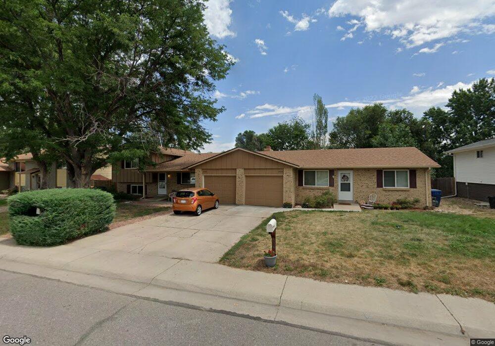
4644 Simms St Wheat Ridge, CO 80033
Fruitdale NeighborhoodEstimated Value: $588,000 - $751,059
2
Beds
3
Baths
1,050
Sq Ft
$652/Sq Ft
Est. Value
About This Home
This home is located at 4644 Simms St, Wheat Ridge, CO 80033 and is currently estimated at $684,515, approximately $651 per square foot. 4644 Simms St is a home with nearby schools including Kullerstrand Elementary School, Prospect Valley Elementary School, and Everitt Middle School.
Ownership History
Date
Name
Owned For
Owner Type
Purchase Details
Closed on
Jan 20, 2011
Sold by
Strolh Douglas V and Moore Monica
Bought by
Strohl Douglas and Strohl Monica R
Current Estimated Value
Home Financials for this Owner
Home Financials are based on the most recent Mortgage that was taken out on this home.
Original Mortgage
$160,000
Outstanding Balance
$109,395
Interest Rate
4.84%
Mortgage Type
New Conventional
Estimated Equity
$575,120
Purchase Details
Closed on
Jan 26, 1995
Sold by
Moore Monica R
Bought by
Strohl Douglas and Moore Monica R
Purchase Details
Closed on
Nov 26, 1993
Sold by
Gourdin Viola K
Bought by
Strohl Douglas
Home Financials for this Owner
Home Financials are based on the most recent Mortgage that was taken out on this home.
Original Mortgage
$114,300
Interest Rate
6.86%
Create a Home Valuation Report for This Property
The Home Valuation Report is an in-depth analysis detailing your home's value as well as a comparison with similar homes in the area
Home Values in the Area
Average Home Value in this Area
Purchase History
| Date | Buyer | Sale Price | Title Company |
|---|---|---|---|
| Strohl Douglas | -- | Fita | |
| Strohl Douglas | -- | -- | |
| Strohl Douglas | $127,000 | -- |
Source: Public Records
Mortgage History
| Date | Status | Borrower | Loan Amount |
|---|---|---|---|
| Open | Strohl Douglas | $160,000 | |
| Closed | Strohl Douglas | $114,300 |
Source: Public Records
Tax History Compared to Growth
Tax History
| Year | Tax Paid | Tax Assessment Tax Assessment Total Assessment is a certain percentage of the fair market value that is determined by local assessors to be the total taxable value of land and additions on the property. | Land | Improvement |
|---|---|---|---|---|
| 2024 | $4,141 | $45,080 | $24,333 | $20,747 |
| 2023 | $4,141 | $45,080 | $24,333 | $20,747 |
| 2022 | $3,073 | $33,128 | $15,401 | $17,727 |
| 2021 | $3,190 | $34,833 | $16,194 | $18,639 |
| 2020 | $2,809 | $30,711 | $13,944 | $16,767 |
| 2019 | $2,770 | $30,711 | $13,944 | $16,767 |
| 2018 | $2,349 | $25,307 | $8,100 | $17,207 |
| 2017 | $2,141 | $25,307 | $8,100 | $17,207 |
| 2016 | $2,269 | $25,094 | $7,367 | $17,727 |
| 2015 | $2,115 | $25,094 | $7,367 | $17,727 |
| 2014 | $2,115 | $21,981 | $5,846 | $16,135 |
Source: Public Records
Map
Nearby Homes
- 11772 W 45th Place
- 11737 W 45th Place
- 4605 Quail St
- 4615 Quail St
- 4340 Pierson St
- 10640 W 46th Ave
- 10630 W 46th Ave
- 5154 Taft Ct
- 5175 Simms Place
- Plan 133 at Haskins Station
- Plan 132 at Haskins Station
- Plan 123 at Haskins Station
- Plan 122 at Haskins Station
- Haskins Station Plan at Haskins Station
- 5182 Rob Way
- 5240 Routt Ct Unit B
- 12320 W 51st Ave
- 3935 Pierson St
- 5160 Ward Rd
- 5173 Vivian St