4645 Boyd Rd Brogue, PA 17309
Estimated Value: $271,000 - $692,000
4
Beds
1
Bath
1,326
Sq Ft
$340/Sq Ft
Est. Value
About This Home
This home is located at 4645 Boyd Rd, Brogue, PA 17309 and is currently estimated at $451,066, approximately $340 per square foot. 4645 Boyd Rd is a home located in York County with nearby schools including Clearview Elementary School, Red Lion Area Junior High School, and Red Lion Area Senior High School.
Ownership History
Date
Name
Owned For
Owner Type
Purchase Details
Closed on
Oct 30, 2013
Sold by
Boyd Ruth N and Olewiler Romaine E
Bought by
Boyd Audie L and Boyd Jeanette A
Current Estimated Value
Home Financials for this Owner
Home Financials are based on the most recent Mortgage that was taken out on this home.
Original Mortgage
$300,000
Outstanding Balance
$226,273
Interest Rate
4.52%
Mortgage Type
Future Advance Clause Open End Mortgage
Estimated Equity
$224,793
Purchase Details
Closed on
May 19, 2006
Sold by
Boyd Blaine T and Boyd Ruth N
Bought by
Boyd Blaine T and Boyd Ruth N
Create a Home Valuation Report for This Property
The Home Valuation Report is an in-depth analysis detailing your home's value as well as a comparison with similar homes in the area
Home Values in the Area
Average Home Value in this Area
Purchase History
| Date | Buyer | Sale Price | Title Company |
|---|---|---|---|
| Boyd Audie L | $285,000 | None Available | |
| Boyd Blaine T | -- | None Available |
Source: Public Records
Mortgage History
| Date | Status | Borrower | Loan Amount |
|---|---|---|---|
| Open | Boyd Audie L | $300,000 |
Source: Public Records
Tax History
| Year | Tax Paid | Tax Assessment Tax Assessment Total Assessment is a certain percentage of the fair market value that is determined by local assessors to be the total taxable value of land and additions on the property. | Land | Improvement |
|---|---|---|---|---|
| 2025 | $2,887 | $93,860 | $26,150 | $67,710 |
| 2024 | $2,795 | $93,860 | $26,150 | $67,710 |
| 2023 | $2,795 | $93,860 | $26,150 | $67,710 |
| 2022 | $2,795 | $93,860 | $26,150 | $67,710 |
| 2021 | $2,701 | $93,860 | $26,150 | $67,710 |
| 2020 | $2,701 | $93,860 | $26,150 | $67,710 |
| 2019 | $2,692 | $93,860 | $26,150 | $67,710 |
| 2018 | $2,664 | $93,860 | $26,150 | $67,710 |
| 2017 | $2,664 | $93,860 | $26,150 | $67,710 |
| 2016 | $0 | $93,860 | $26,150 | $67,710 |
| 2015 | -- | $91,490 | $23,780 | $67,710 |
| 2014 | -- | $89,390 | $21,680 | $67,710 |
Source: Public Records
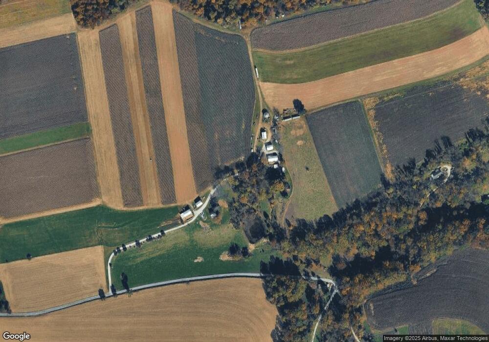
Map
Nearby Homes
- 2060 Furnace Rd
- 798 Goram Rd
- 10400 Enfield Rd
- 3320 River Rd
- 9981 Douglas Rd
- 17 Sweetwater Dr
- 58 Buck Run Rd
- 9980 Douglas Rd
- 20 Indian Ln
- 474 Bridge Valley Rd
- 621 River Hill Rd
- 591 Pequea Blvd
- 289 River Corner Rd
- 3610 Main St
- 1406 Richmond Rd
- 9 Ridge View Dr
- 3265 Main St
- 0 Pequea Blvd Unit PALA2077958
- 77 Hilldale Rd
- 115 Ridge Rd
- 4665 Boyd Rd
- 4800 Boyd Rd
- 4885 Boyd Rd
- 10300 Lockport Rd
- 4565 Boyd Rd
- 1816 Furnace Rd
- 1784 Furnace Rd
- 4915 Boyd Rd
- 4570 Boyd Rd
- 1764 Furnace Rd
- 1744 Furnace Rd
- 1760 Furnace Rd
- 4575 Boyd Rd
- 10539 Gum Tree Rd
- 10631 Gum Tree Rd
- 1675 Furnace Rd
- 1624 Furnace Rd
- 1090 Goram Rd
- 1997 Furnace Rd
- 1620 Furnace Rd
Your Personal Tour Guide
Ask me questions while you tour the home.