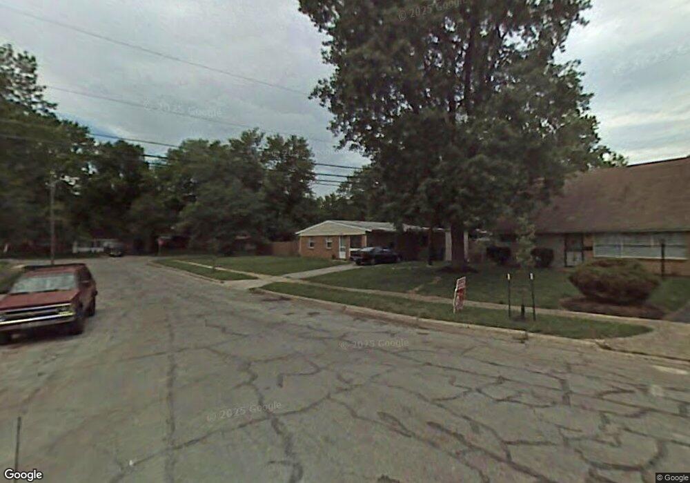
4646 Shady Lane Ct Columbus, OH 43227
Leawood NeighborhoodEstimated Value: $141,000 - $192,000
3
Beds
2
Baths
1,080
Sq Ft
$161/Sq Ft
Est. Value
About This Home
This home is located at 4646 Shady Lane Ct, Columbus, OH 43227 and is currently estimated at $174,113, approximately $161 per square foot. 4646 Shady Lane Ct is a home located in Franklin County with nearby schools including Shady Lane Elementary School, Sherwood Middle School, and Walnut Ridge High School.
Ownership History
Date
Name
Owned For
Owner Type
Purchase Details
Closed on
Apr 26, 2002
Sold by
Bank One Na
Bought by
Longstreth Craig
Current Estimated Value
Home Financials for this Owner
Home Financials are based on the most recent Mortgage that was taken out on this home.
Original Mortgage
$51,500
Outstanding Balance
$22,128
Interest Rate
7.18%
Mortgage Type
Seller Take Back
Estimated Equity
$151,985
Purchase Details
Closed on
Feb 15, 2002
Sold by
Haese Patricia A
Bought by
Bank One Na
Purchase Details
Closed on
Jun 27, 2000
Sold by
Courtright Melissa A
Bought by
Haese Howard C and Haese Patricia A
Home Financials for this Owner
Home Financials are based on the most recent Mortgage that was taken out on this home.
Original Mortgage
$110,000
Interest Rate
8.31%
Purchase Details
Closed on
May 5, 1992
Bought by
Haese Howard C and Haese Patricia
Create a Home Valuation Report for This Property
The Home Valuation Report is an in-depth analysis detailing your home's value as well as a comparison with similar homes in the area
Home Values in the Area
Average Home Value in this Area
Purchase History
| Date | Buyer | Sale Price | Title Company |
|---|---|---|---|
| Longstreth Craig | $58,000 | Midland Celtic Title | |
| Bank One Na | -- | -- | |
| Haese Howard C | -- | Express Title Services Of Oh | |
| Haese Howard C | $52,500 | -- |
Source: Public Records
Mortgage History
| Date | Status | Borrower | Loan Amount |
|---|---|---|---|
| Open | Longstreth Craig | $51,500 | |
| Previous Owner | Haese Howard C | $110,000 |
Source: Public Records
Tax History Compared to Growth
Tax History
| Year | Tax Paid | Tax Assessment Tax Assessment Total Assessment is a certain percentage of the fair market value that is determined by local assessors to be the total taxable value of land and additions on the property. | Land | Improvement |
|---|---|---|---|---|
| 2024 | $2,301 | $50,200 | $16,560 | $33,640 |
| 2023 | $2,272 | $50,190 | $16,555 | $33,635 |
| 2022 | $1,379 | $25,940 | $7,630 | $18,310 |
| 2021 | $1,935 | $25,940 | $7,630 | $18,310 |
| 2020 | $1,665 | $25,940 | $7,630 | $18,310 |
| 2019 | $1,256 | $20,200 | $6,130 | $14,070 |
| 2018 | $1,240 | $20,200 | $6,130 | $14,070 |
| 2017 | $1,301 | $20,200 | $6,130 | $14,070 |
| 2016 | $1,346 | $19,810 | $5,040 | $14,770 |
| 2015 | $1,225 | $19,810 | $5,040 | $14,770 |
| 2014 | $1,228 | $19,810 | $5,040 | $14,770 |
| 2013 | $712 | $23,275 | $5,915 | $17,360 |
Source: Public Records
Map
Nearby Homes
- 1607 Shady Lane Rd
- 4701 Janis Dr
- 1607 Simpson Dr
- 1691 Shady Lane Rd
- 4677 E Livingston Ave
- 4571 Aragon Ave
- 1678 Huxley Dr
- 1563 Genoa Place
- 1571 Baxter Dr
- 4589 Belfast Dr
- 1787 Lattimer Dr
- 4475 Ellery Dr
- 1618 S Hamilton Rd
- 4467 Grimsby Rd
- 4484 Grimsby Rd
- 1543 S Hamilton Rd
- 1752 S Hamilton Rd
- 4501 Amesbury Rd
- 1486 Efner Dr
- 1281 Maetzel Dr
- 1622 Shady Lane Rd
- 4656 Shady Lane Ct
- 4643 Shady Lane Ct
- 4653 Janis Dr
- 4664 Shady Lane Ct
- 4661 Janis Dr
- 4653 Shady Lane Ct
- 1633 Shady Lane Rd
- 1625 Shady Lane Rd
- 1639 Shady Lane Rd
- 4667 Janis Dr
- 1615 Shady Lane Rd
- 4659 Shady Lane Ct
- 1647 Shady Lane Rd
- 4668 Shady Lane Ct
- 4675 Janis Dr
- 1655 Shady Lane Rd
- 4670 Shady Lane Ct
- 1594 Shady Lane Rd
- 4636 Dundee Ave