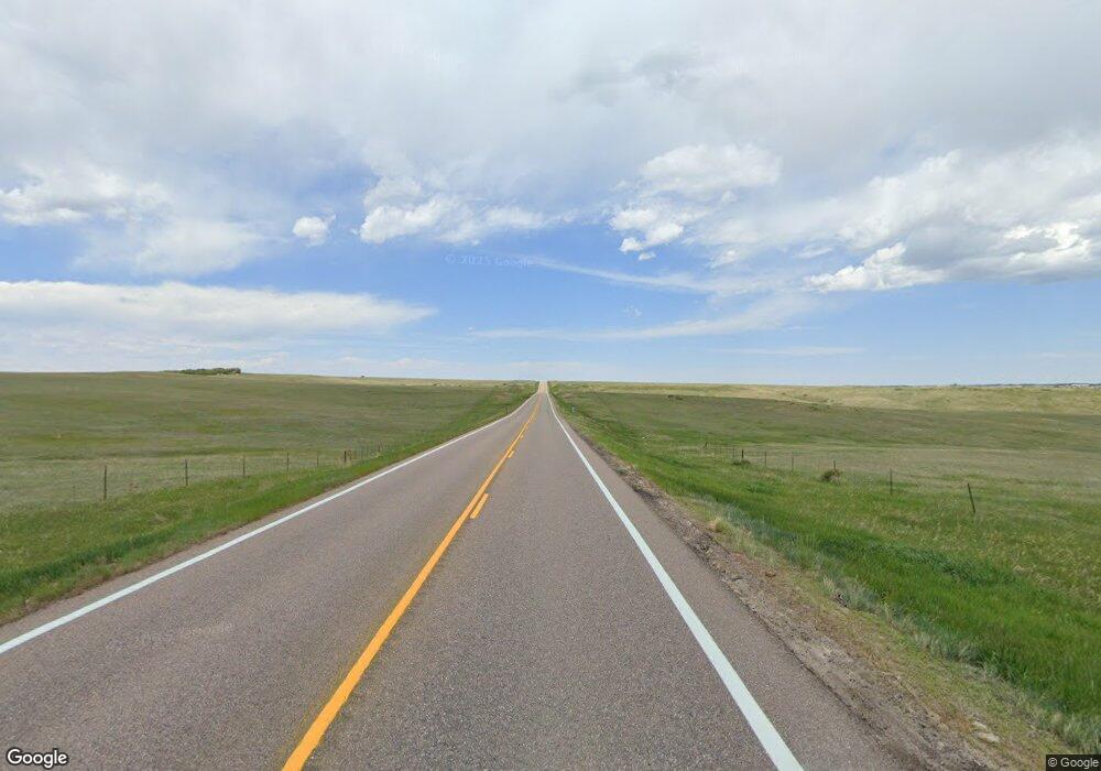
4647 N State Highway 83 Franktown, CO 80116
Estimated Value: $1,612,000 - $2,120,000
9
Beds
3
Baths
5,168
Sq Ft
$358/Sq Ft
Est. Value
About This Home
This home is located at 4647 N State Highway 83, Franktown, CO 80116 and is currently estimated at $1,849,566, approximately $357 per square foot. 4647 N State Highway 83 is a home with nearby schools including Franktown Elementary School, Sagewood Middle School, and Ponderosa High School.
Ownership History
Date
Name
Owned For
Owner Type
Purchase Details
Closed on
Jul 6, 2016
Sold by
Franktown Floral Co
Bought by
Aqua Lounge Hospitality Group Llc
Current Estimated Value
Home Financials for this Owner
Home Financials are based on the most recent Mortgage that was taken out on this home.
Original Mortgage
$750,000
Interest Rate
4%
Mortgage Type
Seller Take Back
Purchase Details
Closed on
May 25, 1972
Sold by
Penn William T and Penn Laural
Bought by
Franktown Floral Co
Create a Home Valuation Report for This Property
The Home Valuation Report is an in-depth analysis detailing your home's value as well as a comparison with similar homes in the area
Home Values in the Area
Average Home Value in this Area
Purchase History
| Date | Buyer | Sale Price | Title Company |
|---|---|---|---|
| Aqua Lounge Hospitality Group Llc | $1,200,000 | Land Title Guarantee | |
| Franktown Floral Co | -- | -- |
Source: Public Records
Mortgage History
| Date | Status | Borrower | Loan Amount |
|---|---|---|---|
| Closed | Aqua Lounge Hospitality Group Llc | $750,000 |
Source: Public Records
Tax History Compared to Growth
Tax History
| Year | Tax Paid | Tax Assessment Tax Assessment Total Assessment is a certain percentage of the fair market value that is determined by local assessors to be the total taxable value of land and additions on the property. | Land | Improvement |
|---|---|---|---|---|
| 2024 | $20,749 | $252,810 | $160,640 | $92,170 |
| 2023 | $20,980 | $252,810 | $160,640 | $92,170 |
| 2022 | $20,428 | $244,000 | $162,910 | $81,090 |
| 2021 | $7,103 | $83,270 | $40,480 | $42,790 |
| 2020 | $7,269 | $85,730 | $40,720 | $45,010 |
| 2019 | $7,304 | $85,730 | $40,720 | $45,010 |
| 2018 | $4,792 | $55,250 | $29,780 | $25,470 |
| 2017 | $4,461 | $55,250 | $29,780 | $25,470 |
| 2016 | $4,184 | $50,810 | $31,780 | $19,030 |
| 2014 | $4,353 | $48,310 | $31,780 | $16,530 |
Source: Public Records
Map
Nearby Homes
- 6598 Cherry Creek Dr
- 5095 Miriam Ln
- 6102 Bridle Path Ln
- 6078 Bridle Path Ln
- 6662 Fonder Dr
- 6522 Lynch Ln
- 5341 Rhyolite Way
- 7351 Meadow View
- 6017 Merchant Place
- 5369 Hospitality Place
- 6432 Old Divide Trail
- 7312 Grady Cir
- 6555 San Miguel Ct
- 5483 Ben Park Cir
- 7209 N Hyperion Way
- 8048 Grady Cir
- 5657 Pinto Valley St
- 7496 Grady Cir
- 6454 Leathers Ln
- 7812 Blue Water Ln
- 0 Fox Creek Trail Unit 5356279
- 0 Fox Creek Trail Unit 1646653
- 0 Parker Rd Unit 968998
- 4959 Bayou Gulch St
- 4966 Bayou Gulch St
- 4967 Bayou Gulch St
- 6594 Cherry Creek Dr
- 6702 Cherry Creek Dr
- 6590 Cherry Creek Dr
- 4974 Bayou Gulch St
- 4975 Bayou Gulch St
- 6584 Cherry Creek Dr
- 6708 Cherry Creek Dr
- 4984 Bayou Gulch St
- 6624 Cherry Creek Dr
- 4985 Bayou Gulch St
- 6604 Cherry Creek Dr
- 6578 Cherry Creek Dr
- 6552 Cherry Creek Dr
- 6546 Cherry Creek Dr
