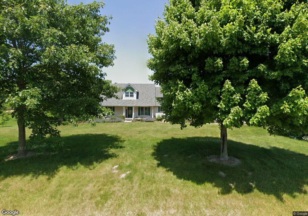
4648 W 650 N Thorntown, IN 46071
Estimated Value: $595,680 - $760,000
3
Beds
3
Baths
4,671
Sq Ft
$142/Sq Ft
Est. Value
About This Home
This home is located at 4648 W 650 N, Thorntown, IN 46071 and is currently estimated at $662,920, approximately $141 per square foot. 4648 W 650 N is a home located in Boone County with nearby schools including Western Boone Junior/Senior High School.
Ownership History
Date
Name
Owned For
Owner Type
Purchase Details
Closed on
Jun 15, 2023
Sold by
Saalwaechter Lonnie D
Bought by
Williams Daniel E
Current Estimated Value
Purchase Details
Closed on
Feb 26, 2009
Sold by
Santon Kathy A
Bought by
Saalwaechter John J and Saalwaechter Vicki A
Home Financials for this Owner
Home Financials are based on the most recent Mortgage that was taken out on this home.
Original Mortgage
$270,750
Interest Rate
4.91%
Mortgage Type
New Conventional
Purchase Details
Closed on
Oct 28, 2005
Sold by
Santon William K and Santon Kathy A
Bought by
Santon Kathy A
Home Financials for this Owner
Home Financials are based on the most recent Mortgage that was taken out on this home.
Original Mortgage
$175,000
Interest Rate
5.89%
Mortgage Type
New Conventional
Create a Home Valuation Report for This Property
The Home Valuation Report is an in-depth analysis detailing your home's value as well as a comparison with similar homes in the area
Home Values in the Area
Average Home Value in this Area
Purchase History
| Date | Buyer | Sale Price | Title Company |
|---|---|---|---|
| Williams Daniel E | $550,000 | Meridian Title Corporation | |
| Saalwaechter John J | -- | -- | |
| Santon Kathy A | -- | -- |
Source: Public Records
Mortgage History
| Date | Status | Borrower | Loan Amount |
|---|---|---|---|
| Previous Owner | Saalwaechter John J | $270,750 | |
| Previous Owner | Santon Kathy A | $175,000 |
Source: Public Records
Tax History Compared to Growth
Tax History
| Year | Tax Paid | Tax Assessment Tax Assessment Total Assessment is a certain percentage of the fair market value that is determined by local assessors to be the total taxable value of land and additions on the property. | Land | Improvement |
|---|---|---|---|---|
| 2025 | $3,810 | $612,900 | $24,500 | $588,400 |
| 2024 | $3,810 | $562,400 | $24,500 | $537,900 |
| 2023 | $3,924 | $508,100 | $24,500 | $483,600 |
| 2022 | $3,920 | $475,100 | $24,500 | $450,600 |
| 2021 | $3,432 | $399,500 | $24,500 | $375,000 |
| 2020 | $3,237 | $379,000 | $24,500 | $354,500 |
| 2019 | $2,972 | $358,300 | $24,500 | $333,800 |
| 2018 | $2,719 | $335,700 | $24,500 | $311,200 |
| 2017 | $2,678 | $339,700 | $24,500 | $315,200 |
| 2016 | $2,429 | $322,000 | $24,500 | $297,500 |
| 2014 | $2,315 | $323,600 | $25,700 | $297,900 |
| 2013 | $2,584 | $318,500 | $25,700 | $292,800 |
Source: Public Records
Map
Nearby Homes
- 6519 N 350 W
- 5779 W State Road 47
- 6433 W State Road 47
- 6691 Indiana 47
- 4535 N Us Hwy 52
- 5000 N 275 W
- 3502 W 450 N
- 328 N Front St
- 117 N Market St
- 223 S West St
- 1502 W 525 N
- 1304 W 500 N
- 5388 W Hazelrigg Rd
- 1321 Locust Place
- 1323 Locust Place
- 7147 S Co Road 130 W
- 3901 N State Road 52
- Ironwood Plan at Northwood Haven
- Spruce Plan at Northwood Haven
- Ashton Plan at Northwood Haven