Estimated Value: $498,000 - $572,000
1
Bed
1
Bath
1,920
Sq Ft
$280/Sq Ft
Est. Value
About This Home
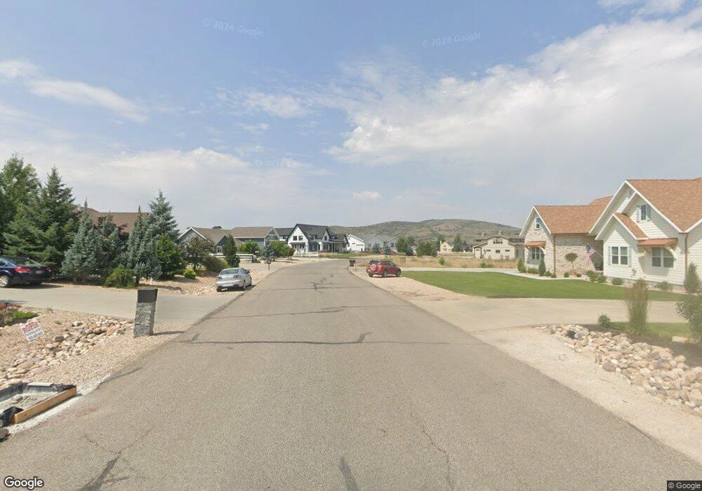
This home is located at 4649 Aspen Rd Unit 28 C, Kamas, UT 84036 and is currently estimated at $538,056, approximately $280 per square foot. 4649 Aspen Rd Unit 28 C is a home located in Summit County with nearby schools including South Summit Elementary School and South Summit High School.
Ownership History
Date
Name
Owned For
Owner Type
Purchase Details
Closed on
Aug 19, 2019
Sold by
Kinnersley Christopher and Kinnersley Jami
Bought by
Kinnersley Christopher and Kinnersley Jami
Current Estimated Value
Home Financials for this Owner
Home Financials are based on the most recent Mortgage that was taken out on this home.
Original Mortgage
$210,000
Outstanding Balance
$183,921
Interest Rate
3.7%
Mortgage Type
New Conventional
Estimated Equity
$354,135
Purchase Details
Closed on
Jun 29, 2016
Sold by
Kearsley Michael E
Bought by
Mower Ray and Mower Misty
Purchase Details
Closed on
Mar 5, 2008
Sold by
Wiest Sue C
Bought by
Kearsley Michael E
Home Financials for this Owner
Home Financials are based on the most recent Mortgage that was taken out on this home.
Original Mortgage
$165,000
Interest Rate
5.41%
Mortgage Type
New Conventional
Purchase Details
Closed on
Jul 12, 2006
Sold by
Heathon Craig J
Bought by
Wiese Sue C
Create a Home Valuation Report for This Property
The Home Valuation Report is an in-depth analysis detailing your home's value as well as a comparison with similar homes in the area
Home Values in the Area
Average Home Value in this Area
Purchase History
| Date | Buyer | Sale Price | Title Company |
|---|---|---|---|
| Kinnersley Christopher | -- | Old Republic Title | |
| Kinnersley Christopher | -- | Old Republic Title | |
| Mower Ray | -- | Stewart Title Insurance Agen | |
| Kearsley Michael E | -- | Title One | |
| Wiese Sue C | -- | None Available |
Source: Public Records
Mortgage History
| Date | Status | Borrower | Loan Amount |
|---|---|---|---|
| Open | Kinnersley Christopher | $210,000 | |
| Previous Owner | Kearsley Michael E | $165,000 |
Source: Public Records
Tax History Compared to Growth
Tax History
| Year | Tax Paid | Tax Assessment Tax Assessment Total Assessment is a certain percentage of the fair market value that is determined by local assessors to be the total taxable value of land and additions on the property. | Land | Improvement |
|---|---|---|---|---|
| 2024 | $2,458 | $476,087 | $195,350 | $280,737 |
| 2023 | $2,458 | $515,494 | $177,110 | $338,384 |
| 2022 | $2,402 | $434,369 | $165,904 | $268,465 |
| 2021 | $1,767 | $259,709 | $127,154 | $132,555 |
| 2020 | $1,562 | $214,590 | $82,035 | $132,555 |
| 2019 | $1,712 | $214,590 | $82,035 | $132,555 |
| 2018 | $1,712 | $214,590 | $82,035 | $132,555 |
| 2017 | $1,617 | $214,590 | $82,035 | $132,555 |
| 2016 | $940 | $117,350 | $41,250 | $76,100 |
| 2015 | $842 | $103,150 | $0 | $0 |
| 2013 | $659 | $75,225 | $0 | $0 |
Source: Public Records
Map
Nearby Homes
- 3868 Aspen Cir
- 0 Forest Service Rd Unit 12504859
- 0 Forest Service Rd Unit 2122579
- 1303 Deer Mountain Blvd Unit 11-C
- 4518 Alpine Rd
- 4824 Wilderness Rd
- 5559 Forest Dr
- 437 Pine Plateau
- 2045 Stillwater Loop Unit 18
- 120 Rapid Canyon Rd
- 6560 County Road 157
- 1691 Tokewanna Dr
- 1081 Splendor Rd
- 2427 Painter Rd
- 7126 N Skyfall Dr Unit 23
- 0 Cobble Creek Rd Unit 2119212
- 1538 S Stewart Ln Unit 3
- 0 00 Unit 2054374
- 2042 E Wrangler Dr Unit 19
- 2217 E Perches Dr Unit 95
- 4649 Aspen Rd
- 4652 Aspen Rd
- 4229 Aspen Rd
- 4229 Aspen Rd Unit 24-A
- 2025 Forest Cir Unit 39C
- 3671 Bull Moose Rd
- 3671 Bull Moose Rd Unit 63C
- 4195 Aspen Cir
- 3841 Aspen Cir
- 3868 Aspen Rd
- 2534 Uinta Drive Rd
- 2594 N Uinta Dr
- 1918 Uinta Drive Rd
- 4096 Elk Rd
- 92 Elk Ln Unit D-92
- 33 Elk Ln Unit B-33
- 82 Elk Ln Unit E-82
- 63 Elk Ln Unit D-63
- 19 Elk Ln Unit D-19
- 56 Elk Ln Unit C-56
