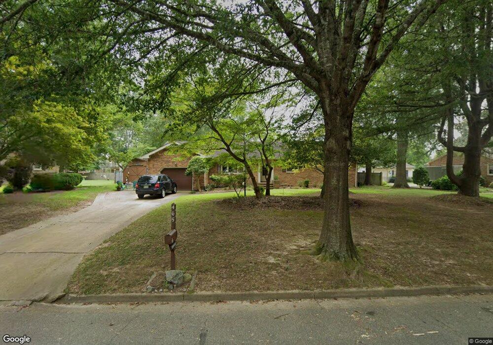
465 Beauregard Dr Chesapeake, VA 23322
Pleasant Grove West NeighborhoodEstimated Value: $404,000 - $417,000
3
Beds
2
Baths
1,757
Sq Ft
$233/Sq Ft
Est. Value
About This Home
This home is located at 465 Beauregard Dr, Chesapeake, VA 23322 and is currently estimated at $410,107, approximately $233 per square foot. 465 Beauregard Dr is a home located in Chesapeake City with nearby schools including Butts Road Primary School, Butts Road Intermediate School, and Great Bridge Middle School.
Ownership History
Date
Name
Owned For
Owner Type
Purchase Details
Closed on
Aug 24, 2001
Sold by
Smith Dorothy J
Bought by
Mckigney Brian D
Current Estimated Value
Home Financials for this Owner
Home Financials are based on the most recent Mortgage that was taken out on this home.
Original Mortgage
$123,200
Outstanding Balance
$47,746
Interest Rate
7.06%
Estimated Equity
$362,361
Create a Home Valuation Report for This Property
The Home Valuation Report is an in-depth analysis detailing your home's value as well as a comparison with similar homes in the area
Home Values in the Area
Average Home Value in this Area
Purchase History
| Date | Buyer | Sale Price | Title Company |
|---|---|---|---|
| Mckigney Brian D | $154,000 | -- |
Source: Public Records
Mortgage History
| Date | Status | Borrower | Loan Amount |
|---|---|---|---|
| Open | Mckigney Brian D | $123,200 |
Source: Public Records
Tax History Compared to Growth
Tax History
| Year | Tax Paid | Tax Assessment Tax Assessment Total Assessment is a certain percentage of the fair market value that is determined by local assessors to be the total taxable value of land and additions on the property. | Land | Improvement |
|---|---|---|---|---|
| 2025 | $3,621 | $376,400 | $185,000 | $191,400 |
| 2024 | $3,621 | $358,500 | $185,000 | $173,500 |
| 2023 | $3,416 | $338,200 | $175,000 | $163,200 |
| 2022 | $3,051 | $302,100 | $150,000 | $152,100 |
| 2021 | $2,743 | $261,200 | $125,000 | $136,200 |
| 2020 | $2,634 | $250,900 | $120,000 | $130,900 |
| 2019 | $2,634 | $250,900 | $120,000 | $130,900 |
| 2018 | $2,690 | $256,200 | $120,000 | $136,200 |
| 2017 | $2,787 | $265,400 | $120,000 | $145,400 |
| 2016 | $2,682 | $255,400 | $110,000 | $145,400 |
| 2015 | $2,615 | $249,000 | $100,000 | $149,000 |
| 2014 | $2,615 | $249,000 | $100,000 | $149,000 |
Source: Public Records
Map
Nearby Homes
- 501 Summit Ridge Dr
- 533 Beauregard Dr
- 532 Mount Pleasant Rd
- 113 Golden Maple Dr
- 904 Billy O'Brien Ln
- 101 Stadium Dr
- 151 Downing Dr
- 1000 Joan Ct
- 911 Mount Pleasant Rd
- 516 Youngstown Ct
- 917 Mount Pleasant Rd
- 968 Intracoastal Way
- 976 Intracoastal Way
- SUMMIT Plan at Riverview Landing
- HADLEY Plan at Riverview Landing
- DENTON Plan at Riverview Landing
- TILLMAN Plan at Riverview Landing
- 972 Intracoastal Way
- 1220 Kidbrooke St
- 980 Intracoastal Way
- 461 Beauregard Dr
- 473 Beauregard Dr
- 444 Brockenbraugh Rd
- 464 Beauregard Dr
- 468 Beauregard Dr
- 460 Beauregard Dr
- 448 Brockenbraugh Rd
- 440 Brockenbraugh Rd
- 472 Beauregard Dr
- 457 Beauregard Dr
- 475 Beauregard Dr
- 456 Beauregard Dr
- 476 Beauregard Dr
- 452 Brockenbraugh Rd
- 445 Brockenbraugh Rd
- 436 Brockenbraugh Rd
- 449 Brockenbraugh Rd
- 452 Beauregard Dr
- 480 Beauregard Dr
- 441 Brockenbraugh Rd