465 Browntown Rd Kingsland, GA 31548
Estimated Value: $286,000 - $340,551
3
Beds
2
Baths
2,119
Sq Ft
$147/Sq Ft
Est. Value
About This Home
This home is located at 465 Browntown Rd, Kingsland, GA 31548 and is currently estimated at $311,388, approximately $146 per square foot. 465 Browntown Rd is a home located in Camden County with nearby schools including Kingsland Elementary School, Camden Middle School, and Camden County High School.
Ownership History
Date
Name
Owned For
Owner Type
Purchase Details
Closed on
Sep 2, 2025
Sold by
Mcswain Leslie Loraine
Bought by
Mcswain John Mark
Current Estimated Value
Purchase Details
Closed on
Dec 19, 2023
Sold by
Mcswain Joe W
Bought by
Joe W Mcswain Living Trust and Mcswain John Mark
Purchase Details
Closed on
Dec 13, 2023
Sold by
Mcswain Joe W
Bought by
Mcswain John M
Purchase Details
Closed on
Sep 11, 2018
Sold by
Mcswain John M
Bought by
Mcswain Joe W Trustee
Purchase Details
Closed on
Apr 23, 2018
Sold by
Mcswain Joe W
Bought by
Mcswain John M
Purchase Details
Closed on
Jul 31, 2008
Sold by
Mcswain Joe W
Bought by
Mcswain John M
Create a Home Valuation Report for This Property
The Home Valuation Report is an in-depth analysis detailing your home's value as well as a comparison with similar homes in the area
Home Values in the Area
Average Home Value in this Area
Purchase History
| Date | Buyer | Sale Price | Title Company |
|---|---|---|---|
| Mcswain John Mark | -- | -- | |
| Mcswain Kellie | -- | -- | |
| Joe W Mcswain Living Trust | -- | -- | |
| Mcswain John M | -- | -- | |
| Mcswain Joe W Trustee | $152,638 | -- | |
| Mcswain John M | -- | -- | |
| Mcswain John M | -- | -- |
Source: Public Records
Tax History Compared to Growth
Tax History
| Year | Tax Paid | Tax Assessment Tax Assessment Total Assessment is a certain percentage of the fair market value that is determined by local assessors to be the total taxable value of land and additions on the property. | Land | Improvement |
|---|---|---|---|---|
| 2025 | $3,847 | $133,770 | $27,144 | $106,626 |
| 2024 | $512 | $117,798 | $11,172 | $106,626 |
| 2023 | $529 | $96,212 | $10,183 | $86,029 |
| 2022 | $521 | $85,279 | $10,183 | $75,096 |
| 2021 | $1,181 | $65,311 | $4,048 | $61,263 |
| 2020 | $2,044 | $61,585 | $4,048 | $57,537 |
| 2019 | $2,060 | $61,585 | $4,048 | $57,537 |
| 2018 | $513 | $61,056 | $4,048 | $57,008 |
Source: Public Records
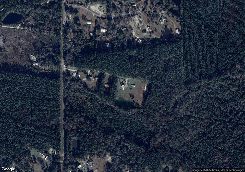
Map
Nearby Homes
- 4241 Oakhill Church Rd
- 856 River Landing Dr
- 886 River Landing Dr
- 223 Bulkhead Dr
- 303 Bulkhead Dr
- The Camilla Plan at Northshore - St. Marys River
- The Athens + Bonus Room Plan at Northshore - St. Marys River
- The Gwinnett Plan at Northshore - St. Marys River
- The Savannah Plan at Northshore - St. Marys River
- The Wilmington Plan at Northshore - St. Marys River
- The Brookhaven Plan at Northshore - St. Marys River
- The Dalton Plan at Northshore - St. Marys River
- The Roswell Plan at Northshore - St. Marys River
- The Madison Plan at Northshore - St. Marys River
- The Grayson Plan at Northshore - St. Marys River
- The Stonecrest Plan at Northshore - St. Marys River
- The Hatteras Plan at Northshore - St. Marys River
- 120 Bulkhead Dr
- 284 Landing Dr
- 109 Wave Break Ct