465 Chestatee River Ridge Dahlonega, GA 30533
Estimated Value: $308,924 - $511,000
--
Bed
2
Baths
1,586
Sq Ft
$255/Sq Ft
Est. Value
About This Home
This home is located at 465 Chestatee River Ridge, Dahlonega, GA 30533 and is currently estimated at $403,981, approximately $254 per square foot. 465 Chestatee River Ridge is a home located in Lumpkin County with nearby schools including Lumpkin County High School.
Ownership History
Date
Name
Owned For
Owner Type
Purchase Details
Closed on
Jul 28, 2001
Sold by
Cantrell Vernon L
Bought by
Cantrell Dorothy S and Cantrell Paul R
Current Estimated Value
Purchase Details
Closed on
Nov 14, 1994
Sold by
Cantrell Vernon L
Bought by
Cantrell Vernon L
Purchase Details
Closed on
Nov 30, 1990
Sold by
Cantell Vernon L
Bought by
Cantrell Vernon L
Purchase Details
Closed on
Sep 15, 1990
Sold by
Bearden Jim
Bought by
Smith Phil A
Purchase Details
Closed on
Mar 30, 1988
Sold by
Brigman Arliss M
Bought by
Bearden Jim
Create a Home Valuation Report for This Property
The Home Valuation Report is an in-depth analysis detailing your home's value as well as a comparison with similar homes in the area
Home Values in the Area
Average Home Value in this Area
Purchase History
| Date | Buyer | Sale Price | Title Company |
|---|---|---|---|
| Cantrell Dorothy S | -- | -- | |
| Cantrell Vernon L | -- | -- | |
| Cantrell Vernon L | $79,900 | -- | |
| Cantell Vernon L | $12,500 | -- | |
| Smith Phil A | -- | -- | |
| Bearden Jim | $30,000 | -- |
Source: Public Records
Tax History Compared to Growth
Tax History
| Year | Tax Paid | Tax Assessment Tax Assessment Total Assessment is a certain percentage of the fair market value that is determined by local assessors to be the total taxable value of land and additions on the property. | Land | Improvement |
|---|---|---|---|---|
| 2024 | $189 | $89,484 | $37,200 | $52,284 |
| 2023 | $11 | $86,103 | $37,200 | $48,903 |
| 2022 | $124 | $80,362 | $37,200 | $43,162 |
| 2021 | $54 | $73,333 | $37,200 | $36,133 |
| 2020 | $45 | $72,399 | $37,200 | $35,199 |
| 2019 | $46 | $72,399 | $37,200 | $35,199 |
| 2018 | $0 | $68,032 | $37,200 | $30,832 |
| 2017 | $0 | $67,675 | $37,200 | $30,475 |
| 2016 | $1,827 | $65,216 | $37,200 | $28,016 |
| 2015 | -- | $65,216 | $37,200 | $28,016 |
| 2014 | -- | $66,036 | $37,200 | $28,836 |
| 2013 | -- | $66,856 | $37,200 | $29,656 |
Source: Public Records
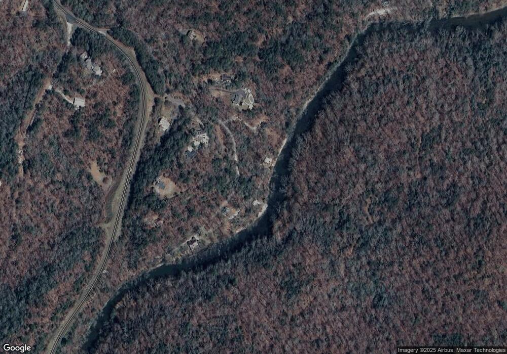
Map
Nearby Homes
- 45 Chestatee River Ridge
- 380 Copper Mill Rd
- 0 Christy Ln Unit 10577382
- 987 Peaceful Valley Dr
- 1063 Grindle Bridge Rd
- 86.99 Acres Mincie Mountain
- 220 Foothills Dr
- 83 Austin Ct
- 87 Tolleffs Trail
- 499 Old Deer Path Way
- 0 Valhalla Dr Unit 10621291
- 31 Valhalla Dr
- 20.65 Acres Mincie Mountain
- 42.65 Acres Mincie Mountain
- 23.86 Acres Mincie Mountain
- 0 Waterfall Dr Unit 9 10472076
- 6480 Highway 52 W
- 3.65AC Emory Stephens Rd
- 3.65 Ac Emory Stephens Rd
- 600 Chapman Ridge Ln
- 203 Chestatee River Ridge
- 165 Chestatee River Ridge
- 0 Ponderosa Trail Unit 10333133
- 0 Ponderosa Trail Unit 7416387
- 0 Ponderosa Trail Unit 10236550
- 0 Ponderosa Trail Unit 7318249
- 0 Ponderosa Trail Unit 7226490
- 0 Ponderosa Trail Unit 7512672
- 0 Ponderosa Trail Unit 7248298
- 0 Ponderosa Trail Unit 8502284
- 0 Ponderosa Trail
- 414 Chestatee River Ridge
- 394 Chestatee River Ridge
- 34 Ponderosa Trail
- 2556 Copper Mines Rd
- Lot 2 Chestatee River Ridge
- 145 Chestatee River Ridge
- 152 Chestatee River Ridge
- 350 Chestatee River Ridge
- 156 Ponderosa Trail