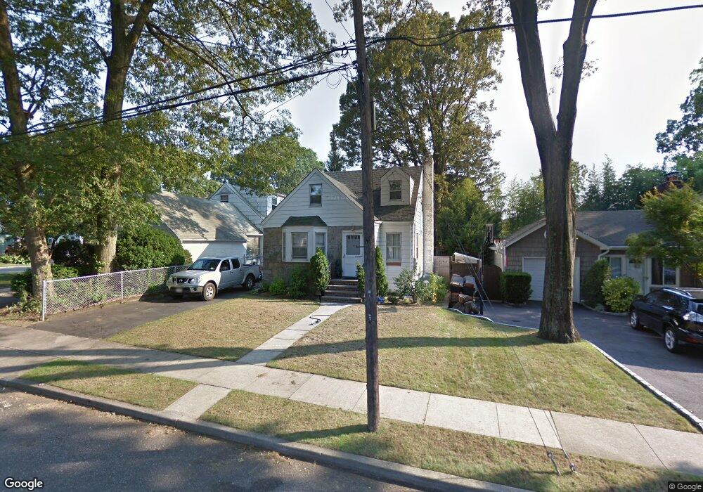
465 Coolidge St West Hempstead, NY 11552
Estimated Value: $552,000 - $658,614
--
Bed
1
Bath
1,121
Sq Ft
$540/Sq Ft
Est. Value
About This Home
This home is located at 465 Coolidge St, West Hempstead, NY 11552 and is currently estimated at $605,307, approximately $539 per square foot. 465 Coolidge St is a home located in Nassau County with nearby schools including Chestnut Street School, West Hempstead Secondary School, and Hebrew Academy of Nassau County (HANC).
Ownership History
Date
Name
Owned For
Owner Type
Purchase Details
Closed on
Sep 13, 2021
Sold by
Lucas Brenda
Bought by
Lucas Trust
Current Estimated Value
Purchase Details
Closed on
Oct 2, 2009
Sold by
Sudholz Joan L
Bought by
Lucas Brenda
Home Financials for this Owner
Home Financials are based on the most recent Mortgage that was taken out on this home.
Original Mortgage
$30,000
Interest Rate
5.14%
Mortgage Type
Unknown
Purchase Details
Closed on
Apr 12, 2005
Sold by
Burke Helen
Create a Home Valuation Report for This Property
The Home Valuation Report is an in-depth analysis detailing your home's value as well as a comparison with similar homes in the area
Home Values in the Area
Average Home Value in this Area
Purchase History
| Date | Buyer | Sale Price | Title Company |
|---|---|---|---|
| Lucas Trust | -- | None Available | |
| Lucas Brenda | $275,000 | -- | |
| -- | -- | -- |
Source: Public Records
Mortgage History
| Date | Status | Borrower | Loan Amount |
|---|---|---|---|
| Previous Owner | Lucas Brenda | $30,000 | |
| Previous Owner | Lucas Brenda | $218,000 |
Source: Public Records
Tax History Compared to Growth
Tax History
| Year | Tax Paid | Tax Assessment Tax Assessment Total Assessment is a certain percentage of the fair market value that is determined by local assessors to be the total taxable value of land and additions on the property. | Land | Improvement |
|---|---|---|---|---|
| 2025 | $9,754 | $373 | $193 | $180 |
| 2024 | $3,498 | $385 | $199 | $186 |
| 2023 | $9,336 | $399 | $206 | $193 |
| 2022 | $9,336 | $392 | $203 | $189 |
| 2021 | $12,044 | $397 | $205 | $192 |
| 2020 | $9,842 | $594 | $434 | $160 |
| 2019 | $9,650 | $637 | $465 | $172 |
| 2018 | $9,720 | $672 | $0 | $0 |
| 2017 | $5,807 | $672 | $491 | $181 |
| 2016 | $9,163 | $672 | $491 | $181 |
| 2015 | $3,130 | $672 | $491 | $181 |
| 2014 | $3,130 | $672 | $491 | $181 |
| 2013 | $2,930 | $672 | $491 | $181 |
Source: Public Records
Map
Nearby Homes
- 474 Roy St
- 126 Oakland Ave
- 303 Nassau Blvd
- 19 Richard St
- 537 Madison Ave
- 198 Guildford Ct
- 350 Paul Place
- 594 Fenworth Blvd
- 231 Dogwood Ave
- 590 Langley Ave
- 279 Semton Blvd
- 218 Colony St
- 352 Hempstead Ave
- 576 Western Park Dr
- 72 Spruce St
- 149 Rule St
- 613 Adams Ave
- 106 Sycamore St
- 635 Hempstead Ave
- 26 Sycamore St
- 166 Edward Ct
- 475 Coolidge St
- 174 Edward Ct
- 171 S Cherry Valley Ave
- 474 Coolidge St
- 458 Coolidge St
- 464 Coolidge St
- 163 Edward Ct
- 176 Edward Ct
- 181 S Cherry Valley Ave
- 177 Edward Ct
- 454 Coolidge St
- 151 S Cherry Valley Ave
- 170 S Cherry Valley Ave
- 180 Edward Ct
- 435 Coolidge St
- 477 Coolidge St
- 166 S Cherry Valley Ave
- 465 Roy St
- 476 Coolidge St