465 Daryl Dr Medford, NY 11763
Estimated Value: $341,000 - $361,000
1
Bed
1
Bath
808
Sq Ft
$434/Sq Ft
Est. Value
About This Home
This home is located at 465 Daryl Dr, Medford, NY 11763 and is currently estimated at $350,593, approximately $433 per square foot. 465 Daryl Dr is a home located in Suffolk County with nearby schools including Patchogue-Medford High School.
Ownership History
Date
Name
Owned For
Owner Type
Purchase Details
Closed on
Jan 18, 2017
Sold by
Armen Mehrod
Bought by
Colantonio Jennifer A
Current Estimated Value
Purchase Details
Closed on
Jun 21, 2016
Sold by
Toughanian Mitra
Bought by
Armen Mehrod
Purchase Details
Closed on
Apr 20, 2012
Sold by
Armen Mehrod
Bought by
Toughanian Mitra
Purchase Details
Closed on
Jun 26, 2008
Sold by
Windus Theresa
Bought by
Armen Mehrod
Purchase Details
Closed on
Jul 10, 1997
Sold by
Warnken Cynthia A and Warnken Robert E
Bought by
Golden Hileen and Golden Robert
Create a Home Valuation Report for This Property
The Home Valuation Report is an in-depth analysis detailing your home's value as well as a comparison with similar homes in the area
Home Values in the Area
Average Home Value in this Area
Purchase History
| Date | Buyer | Sale Price | Title Company |
|---|---|---|---|
| Colantonio Jennifer A | $172,000 | None Available | |
| Armen Mehrod | -- | None Available | |
| Toughanian Mitra | -- | Paragon Abstract | |
| Armen Mehrod | $170,000 | Thomas F Foy | |
| Golden Hileen | $68,500 | -- |
Source: Public Records
Tax History Compared to Growth
Tax History
| Year | Tax Paid | Tax Assessment Tax Assessment Total Assessment is a certain percentage of the fair market value that is determined by local assessors to be the total taxable value of land and additions on the property. | Land | Improvement |
|---|---|---|---|---|
| 2024 | $3,752 | $890 | $220 | $670 |
| 2023 | $3,752 | $890 | $220 | $670 |
| 2022 | $3,360 | $890 | $220 | $670 |
| 2021 | $3,360 | $890 | $220 | $670 |
| 2020 | $3,453 | $890 | $220 | $670 |
| 2019 | $3,453 | $0 | $0 | $0 |
| 2018 | $3,250 | $890 | $220 | $670 |
| 2017 | $3,250 | $890 | $220 | $670 |
| 2016 | $3,185 | $890 | $220 | $670 |
| 2015 | -- | $890 | $220 | $670 |
| 2014 | -- | $890 | $220 | $670 |
Source: Public Records
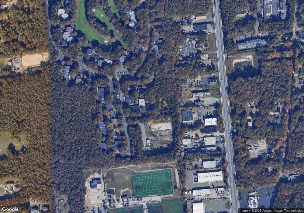
Map
Nearby Homes
- 497 Daryl Dr
- 409 Birchwood Rd
- 392 Birchwood Rd
- 634 W End Dr
- 673 Blue Ridge Dr
- 260 Birchwood Rd
- 1301 Race Ave
- 1300 Race Ave
- 247 Birchwood Rd
- 91 Fairmont Ave
- 2816 Acorn Ave
- 753 Blue Ridge Dr
- 840 Golf Ln
- 862 Birchwood Rd
- 2905 Beechnut Ave
- 241 Middle Island Rd
- 1600 Fire Ave
- 137 Golf Ln
- 24 Oakdale Ave
- 3115 Chestnut Ave
- 470 Daryl Dr
- 475 Daryl Dr
- 471 Daryl Dr
- 472 Daryl Dr Unit 472
- 474 Daryl Dr
- 459 Daryl Dr
- 480 Daryl Dr Unit 480
- 455 Daryl Dr
- 482 Daryl Dr
- 521 Daryl Dr
- 520 Daryl Dr Unit 520
- 517 Daryl Dr
- 451 Birchwood Rd
- 452 Birchwood Rd
- 516 Daryl Dr
- 528 Daryl Dr Unit 528
- 513 Daryl Dr
- 531 Daryl Dr Unit 531
- 533 Daryl Dr
- 431 Birchwood Rd Unit 431