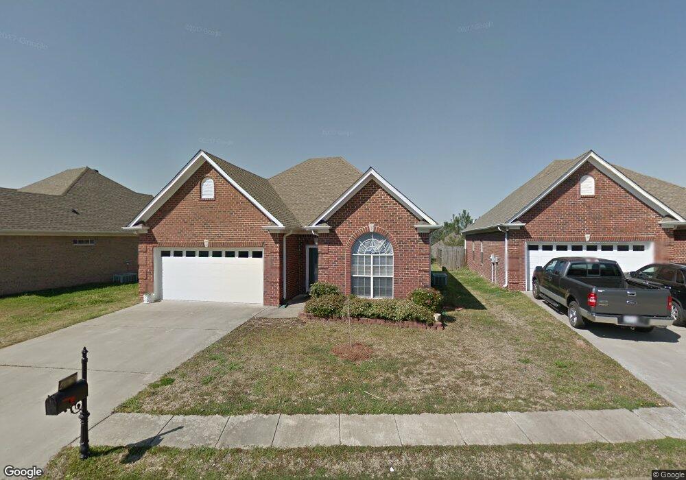
465 Daventry Cir Calera, AL 35040
Estimated Value: $230,000 - $244,000
3
Beds
2
Baths
1,331
Sq Ft
$178/Sq Ft
Est. Value
About This Home
This home is located at 465 Daventry Cir, Calera, AL 35040 and is currently estimated at $236,994, approximately $178 per square foot. 465 Daventry Cir is a home located in Shelby County with nearby schools including Calera Intermediate School, Calera Elementary School, and Calera Middle School.
Ownership History
Date
Name
Owned For
Owner Type
Purchase Details
Closed on
Apr 29, 2009
Sold by
Gleaton Nell and Gleaton Kenneth Wayne
Bought by
Kirkland Britt
Current Estimated Value
Home Financials for this Owner
Home Financials are based on the most recent Mortgage that was taken out on this home.
Original Mortgage
$132,448
Interest Rate
4.77%
Mortgage Type
Unknown
Purchase Details
Closed on
Dec 23, 2003
Sold by
J Harris Development Corp
Bought by
Gleaton Fermer and Gleaton Nell
Home Financials for this Owner
Home Financials are based on the most recent Mortgage that was taken out on this home.
Original Mortgage
$105,950
Interest Rate
6.05%
Mortgage Type
Unknown
Create a Home Valuation Report for This Property
The Home Valuation Report is an in-depth analysis detailing your home's value as well as a comparison with similar homes in the area
Home Values in the Area
Average Home Value in this Area
Purchase History
| Date | Buyer | Sale Price | Title Company |
|---|---|---|---|
| Kirkland Britt | $125,000 | None Available | |
| Gleaton Fermer | -- | -- |
Source: Public Records
Mortgage History
| Date | Status | Borrower | Loan Amount |
|---|---|---|---|
| Previous Owner | Kirkland Britt | $132,448 | |
| Previous Owner | Gleaton Fermer | $105,950 |
Source: Public Records
Tax History Compared to Growth
Tax History
| Year | Tax Paid | Tax Assessment Tax Assessment Total Assessment is a certain percentage of the fair market value that is determined by local assessors to be the total taxable value of land and additions on the property. | Land | Improvement |
|---|---|---|---|---|
| 2024 | $1,172 | $21,700 | $0 | $0 |
| 2023 | $1,149 | $22,040 | $0 | $0 |
| 2022 | $834 | $16,200 | $0 | $0 |
| 2021 | $793 | $15,440 | $0 | $0 |
| 2020 | $744 | $14,540 | $0 | $0 |
| 2019 | $723 | $14,140 | $0 | $0 |
| 2017 | $674 | $13,240 | $0 | $0 |
| 2015 | $642 | $12,640 | $0 | $0 |
| 2014 | $609 | $12,040 | $0 | $0 |
Source: Public Records
Map
Nearby Homes
- 1005 Daventry Ln
- 143 King Richards Way
- 923 Daventry Trail
- 167 Southern Hills Dr
- 218 Nottingham Dr
- 302 Nottingham Dr
- 2051 Rossburg Place
- 568 Southern Hills Dr
- 10920 Highway 22
- 5714 Smokey Rd
- 316 Union Station Way
- 112 Stonecreek Place
- 562 the Heights Ln
- The Penwell Plan at Koslin Farms
- The Hayden Plan at Koslin Farms
- The Freeport Plan at Koslin Farms
- The Cali Plan at Koslin Farms
- The Aldridge Plan at Koslin Farms
- 157 Union Station Dr
- 205 the Heights Dr
- 461 Daventry Cir
- 469 Daventry Cir
- 445 Daventry Cir
- 820 Daventry Ln
- 826 Daventry Ln
- 473 Daventry Cir
- 812 Daventry Ln
- 830 Daventry Ln
- 460 Daventry Cir
- 464 Daventry Cir
- 433 Daventry Cir
- 836 Daventry Ln
- 472 Daventry Cir
- 808 Daventry Ln
- 821 Daventry Ln
- 456 Daventry Cir
- 844 Daventry Ln
- 476 Daventry Cir
- 802 Daventry Ln
- 825 Daventry Ln