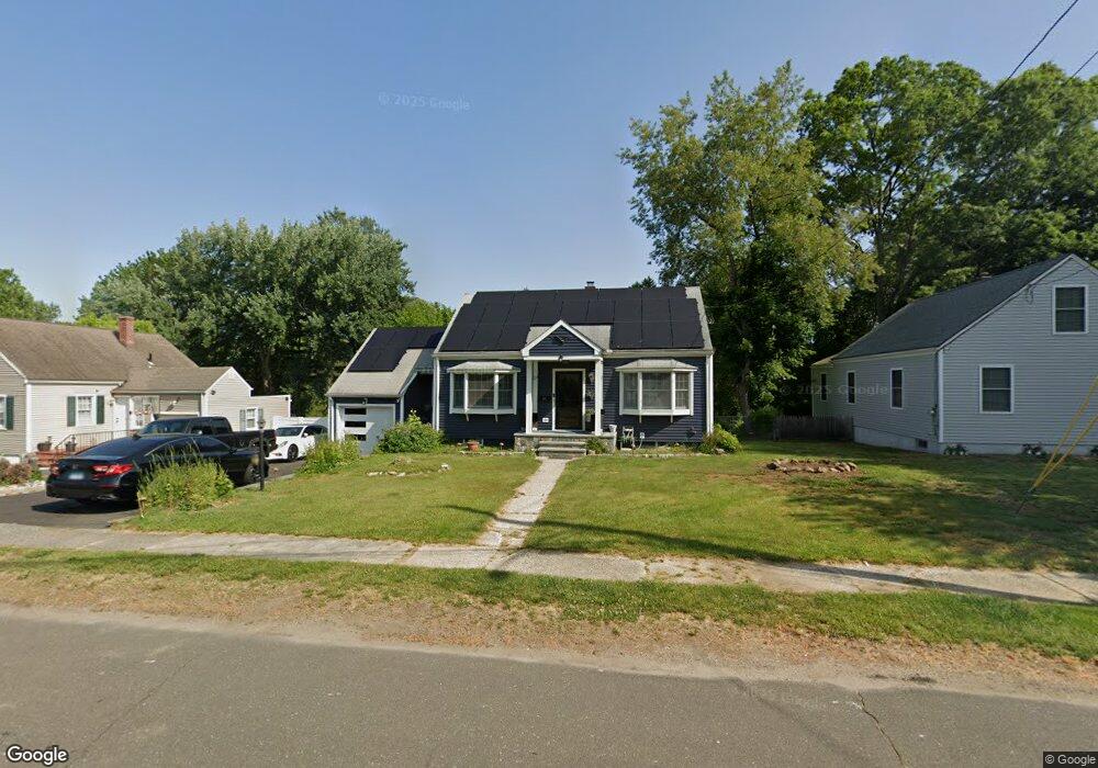
465 Evers St Bridgeport, CT 06610
North Bridgeport NeighborhoodEstimated Value: $343,000 - $386,000
2
Beds
1
Bath
1,224
Sq Ft
$301/Sq Ft
Est. Value
About This Home
This home is located at 465 Evers St, Bridgeport, CT 06610 and is currently estimated at $368,387, approximately $300 per square foot. 465 Evers St is a home located in Fairfield County with nearby schools including Hooker School, Harding High School, and Christian Heritage School.
Ownership History
Date
Name
Owned For
Owner Type
Purchase Details
Closed on
Jul 13, 2004
Sold by
Moccia Thomas and Mirkov John
Bought by
Buchanan Karen
Current Estimated Value
Home Financials for this Owner
Home Financials are based on the most recent Mortgage that was taken out on this home.
Original Mortgage
$152,000
Outstanding Balance
$85,144
Interest Rate
8.12%
Estimated Equity
$283,243
Create a Home Valuation Report for This Property
The Home Valuation Report is an in-depth analysis detailing your home's value as well as a comparison with similar homes in the area
Home Values in the Area
Average Home Value in this Area
Purchase History
| Date | Buyer | Sale Price | Title Company |
|---|---|---|---|
| Buchanan Karen | $190,000 | -- | |
| Buchanan Karen | $190,000 | -- |
Source: Public Records
Mortgage History
| Date | Status | Borrower | Loan Amount |
|---|---|---|---|
| Open | Buchanan Karen | $152,000 | |
| Closed | Buchanan Karen | $152,000 |
Source: Public Records
Tax History
| Year | Tax Paid | Tax Assessment Tax Assessment Total Assessment is a certain percentage of the fair market value that is determined by local assessors to be the total taxable value of land and additions on the property. | Land | Improvement |
|---|---|---|---|---|
| 2025 | $5,758 | $132,520 | $66,120 | $66,400 |
| 2024 | $5,758 | $132,520 | $66,120 | $66,400 |
| 2023 | $5,758 | $132,520 | $66,120 | $66,400 |
| 2022 | $5,758 | $132,520 | $66,120 | $66,400 |
| 2021 | $5,758 | $132,520 | $66,120 | $66,400 |
| 2020 | $5,983 | $110,810 | $54,240 | $56,570 |
| 2019 | $5,983 | $110,810 | $54,240 | $56,570 |
| 2018 | $6,025 | $110,810 | $54,240 | $56,570 |
| 2017 | $6,025 | $110,810 | $54,240 | $56,570 |
| 2016 | $6,025 | $110,810 | $54,240 | $56,570 |
| 2015 | $5,449 | $129,120 | $53,010 | $76,110 |
| 2014 | $5,449 | $129,120 | $53,010 | $76,110 |
Source: Public Records
Map
Nearby Homes
- 11 Nob Hill Cir
- 211 Louisiana Ave Unit D
- 261 Pennsylvania Ave
- 154 Virginia Ave Unit B
- 120 Huntington Turnpike Unit 202
- 132 Virginia Ave Unit 132
- 186 Louisiana Ave Unit D
- 119 Jennings Ave
- 33 Louisiana Ave Unit 35
- 3699 Broadbridge Ave Unit 330
- 3699 Broadbridge Ave Unit 101
- 285 Hillcrest Rd
- 250 Dayton Rd
- 207 Hillcrest Rd
- 156 Dayton Rd
- 72 Broadmere Rd
- 563 Pearl Harbor St
- 2100-2102 E Main St
- 2092-2096 E Main St
- 46 York St
- 481 Evers St
- 453 Evers St
- 435 Evers St
- 224 Nutmeg Rd
- 234 Nutmeg Rd
- 460 Evers St
- 47 Regency St
- 212 Nutmeg Rd
- 480 Evers St
- 507 Evers St
- 500 Evers St
- 417 Evers St
- 248 Nutmeg Rd
- 33 Regency St
- 200 Nutmeg Rd
- 26 Sturtevant Place
- 26 Infield St
- 15 Dupont Place
- 49 Dupont Place Unit 55
- 191 Dupont Place Unit 193
Your Personal Tour Guide
Ask me questions while you tour the home.