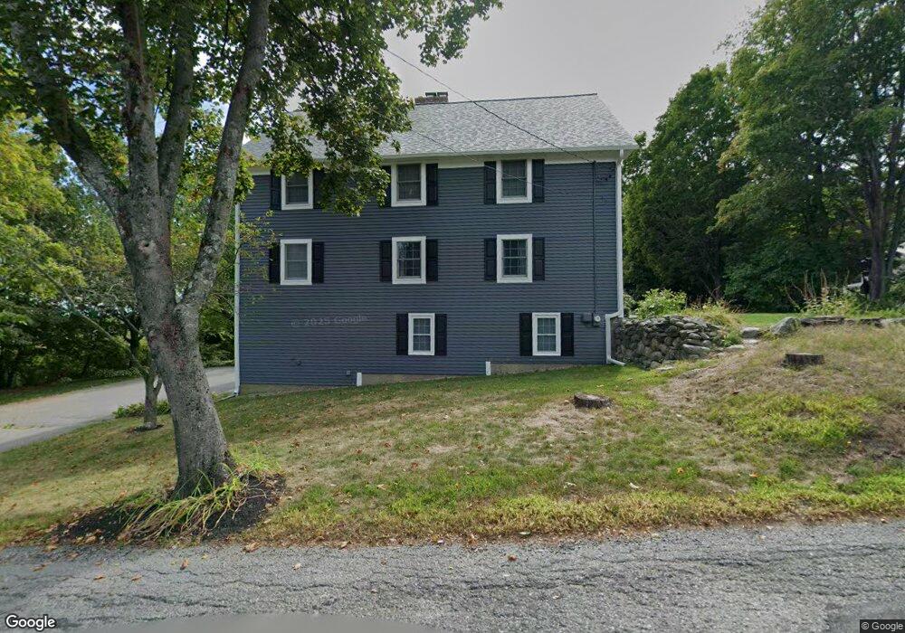
465 Fisher Rd Fitchburg, MA 01420
Estimated Value: $574,296 - $634,000
3
Beds
4
Baths
2,720
Sq Ft
$223/Sq Ft
Est. Value
About This Home
This home is located at 465 Fisher Rd, Fitchburg, MA 01420 and is currently estimated at $605,324, approximately $222 per square foot. 465 Fisher Rd is a home located in Worcester County with nearby schools including Fitchburg High School, Crocker Elementary School, and South Street Elementary School.
Ownership History
Date
Name
Owned For
Owner Type
Purchase Details
Closed on
Nov 14, 2022
Sold by
Ouellette Bruce G and Ouellette Andrea S
Bought by
465 Fisher Road Rt and Ouellette
Current Estimated Value
Purchase Details
Closed on
Nov 29, 1985
Bought by
Ouellette Bruce and Giacoppe Andrea
Create a Home Valuation Report for This Property
The Home Valuation Report is an in-depth analysis detailing your home's value as well as a comparison with similar homes in the area
Home Values in the Area
Average Home Value in this Area
Purchase History
| Date | Buyer | Sale Price | Title Company |
|---|---|---|---|
| 465 Fisher Road Rt | -- | None Available | |
| Ouellette Bruce | $15,000 | -- |
Source: Public Records
Mortgage History
| Date | Status | Borrower | Loan Amount |
|---|---|---|---|
| Previous Owner | Ouellette Bruce | $76,000 |
Source: Public Records
Tax History Compared to Growth
Tax History
| Year | Tax Paid | Tax Assessment Tax Assessment Total Assessment is a certain percentage of the fair market value that is determined by local assessors to be the total taxable value of land and additions on the property. | Land | Improvement |
|---|---|---|---|---|
| 2025 | $65 | $482,600 | $105,300 | $377,300 |
| 2024 | $6,189 | $417,900 | $76,800 | $341,100 |
| 2023 | $6,051 | $377,700 | $64,800 | $312,900 |
| 2022 | $5,656 | $321,200 | $58,800 | $262,400 |
| 2021 | $4,166 | $308,800 | $57,300 | $251,500 |
| 2020 | $5,726 | $290,500 | $54,300 | $236,200 |
| 2019 | $5,448 | $263,600 | $53,400 | $210,200 |
| 2018 | $5,280 | $251,300 | $52,800 | $198,500 |
| 2017 | $3,394 | $234,800 | $52,800 | $182,000 |
| 2016 | $4,879 | $229,800 | $52,800 | $177,000 |
| 2015 | $4,709 | $227,700 | $51,300 | $176,400 |
| 2014 | $4,569 | $230,400 | $54,300 | $176,100 |
Source: Public Records
Map
Nearby Homes
- 344 Pearl Hill Rd
- 35 Richardson Rd
- 36 Will Thompson Way
- 179 Ashby State Rd
- 840 Fisher Rd
- 0 Rindge Rd
- 550 Rindge Rd
- 506 Mechanic St
- 518 North St
- 340 New West Townsend Rd
- 665 Townsend St
- 474 Townsend St
- 855 John Fitch Hwy Unit 44
- 195 Marshall St
- 1083 Northfield Rd
- 205-207 High St
- 288-290 Pearl St
- 206 Highland Ave
- 68 Marshall St
- 33-35 Omena Place
- 453 Fisher Rd
- 487 Fisher Rd
- 460 Fisher Rd
- 450 Fisher Rd
- 385 Pearl Hill Rd
- 385 Pearl Hill Rd
- 419 Pearl Hill Rd
- 480 Fisher Rd
- 439 Pearl Hill Rd
- 434 Pearl Hill Rd
- 377 Pearl Hill Rd
- 456 Pearl Hill Rd
- 400 Fisher Rd
- 363 Pearl Hill Rd
- lot 4 Fisher Rd
- 466 Pearl Hill Rd
- 384 Pearl Hill Rd
- 500 Fisher Rd
- 364 Pearl Hill Rd
- 349 Pearl Hill Rd