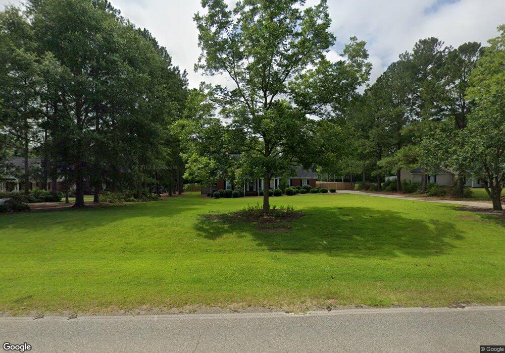
465 Fussell Rd Leesburg, GA 31763
Estimated Value: $415,000 - $453,000
3
Beds
4
Baths
2,924
Sq Ft
$148/Sq Ft
Est. Value
About This Home
This home is located at 465 Fussell Rd, Leesburg, GA 31763 and is currently estimated at $431,313, approximately $147 per square foot. 465 Fussell Rd is a home located in Lee County with nearby schools including Lee County Primary School, Lee County Elementary School, and Lee County Middle School - West Campus.
Ownership History
Date
Name
Owned For
Owner Type
Purchase Details
Closed on
Sep 29, 2020
Sold by
Schuette Albert J
Bought by
Perez Kenneth Agustin and Perez Ashley Jones
Current Estimated Value
Home Financials for this Owner
Home Financials are based on the most recent Mortgage that was taken out on this home.
Original Mortgage
$326,340
Outstanding Balance
$290,262
Interest Rate
2.9%
Mortgage Type
VA
Estimated Equity
$141,051
Purchase Details
Closed on
Aug 1, 2002
Sold by
Boone Britt A
Bought by
Schuette Albert
Purchase Details
Closed on
Jul 14, 1995
Sold by
Suess Lambert
Bought by
Boone Britt A
Create a Home Valuation Report for This Property
The Home Valuation Report is an in-depth analysis detailing your home's value as well as a comparison with similar homes in the area
Home Values in the Area
Average Home Value in this Area
Purchase History
| Date | Buyer | Sale Price | Title Company |
|---|---|---|---|
| Perez Kenneth Agustin | $315,000 | -- | |
| Schuette Albert | $238,000 | -- | |
| Boone Britt A | $194,900 | -- |
Source: Public Records
Mortgage History
| Date | Status | Borrower | Loan Amount |
|---|---|---|---|
| Open | Perez Kenneth Agustin | $326,340 |
Source: Public Records
Tax History Compared to Growth
Tax History
| Year | Tax Paid | Tax Assessment Tax Assessment Total Assessment is a certain percentage of the fair market value that is determined by local assessors to be the total taxable value of land and additions on the property. | Land | Improvement |
|---|---|---|---|---|
| 2024 | $3,431 | $115,520 | $14,000 | $101,520 |
| 2023 | $3,200 | $115,520 | $14,000 | $101,520 |
| 2022 | $3,200 | $115,520 | $14,000 | $101,520 |
| 2021 | $3,261 | $115,520 | $14,000 | $101,520 |
| 2020 | $3,571 | $106,000 | $13,640 | $92,360 |
| 2019 | $3,506 | $106,000 | $13,640 | $92,360 |
| 2018 | $3,507 | $106,000 | $13,640 | $92,360 |
| 2017 | $3,320 | $106,000 | $13,640 | $92,360 |
| 2016 | $3,320 | $106,000 | $13,640 | $92,360 |
| 2015 | $3,030 | $96,400 | $12,400 | $84,000 |
| 2014 | $3,041 | $96,400 | $12,400 | $84,000 |
| 2013 | -- | $96,400 | $12,400 | $84,000 |
Source: Public Records
Map
Nearby Homes
- 485 Fussell Rd
- 424 Fussell Rd
- 418 Fussell Rd
- 113 Tybee Ln
- lot 165 Fussell Rd
- 0000 Fussell Rd
- 000 Fussell Rd
- 127 Charlie Ln
- LOT 134 Aspen Dr
- lot 130 Aspen Dr
- 112 Amelia Ln
- 132 Augustus Dr
- 133 Churchview Dr
- 145 Churchview Dr
- 101 Hillgrove Ln
- 150 Hugh Rd
- 177 Belmont Dr
- 205 Thistledown Dr
- 254 Fussell Rd
- 194 Thistledown Dr
- 471 Fussell Rd
- 461 Fussell Rd
- 0 Fussell Rd Unit 7589641
- 477 Fussell Rd
- 455 Fussell Rd
- 211 Aspen Dr
- 197 Aspen Dr
- 191 Aspen Dr
- 466 Fussell Rd
- 447 Fussell Rd
- 478 Fussell Rd
- 185 Aspen Dr
- 489 Fussell Rd
- 435 Fussell Rd
- 450 Fussell Rd
- 180 Hardwood Ln
- 179 Aspen Dr
- 179 Aspen Dr Unit 138
- 177 Hardwood Ln
- 430 Fussell Rd